Near Leavenworth in Crawford County, Indiana — The American Midwest (Great Lakes)
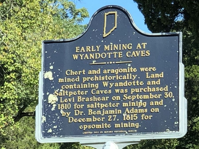
Early Mining at Wyandotte Caves
Inscription.
Chert and aragonite were mined prehistorically. Land containing Wyandotte and Saltpeter Caves was purchased by Levi Brashear on September 30, 1810 for saltpeter mining and by Dr. Benjamin Adams on December 27, 1815 for epsomite mining.
Erected 1992 by Indiana Historical Bureau. (Marker Number 13.1992.2.)
Topics and series. This historical marker is listed in this topic list: Industry & Commerce. In addition, it is included in the Indiana Historical Bureau Markers series list. A significant historical date for this entry is September 30, 1810.
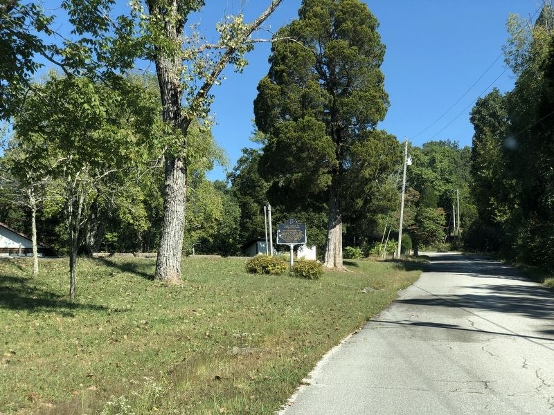
Location. 38° 13.716′ N, 86° 17.612′ W. Marker is near Leavenworth, Indiana, in Crawford County. Marker is on South Wyandotte Cave Road (County Road 81) north of Ohio River Scenic Byway (State Road 62), on the left when traveling north. Touch for map. Marker is at or near this postal address: 7315 S Wyandotte Cave Rd, Leavenworth IN 47137, United States of America. Touch for directions.
Other nearby markers. At least 8 other markers are within 9 miles of this marker, measured as the crow flies. Leavenworth Skiffs (approx. 3.2 miles away); The Hoosier National Forest (approx. 3.2 miles away); Where Did Buttons Come From (approx. 3.3 miles away); Ohio River Lock and Dam No. 44 (approx. 3.3 miles away); Captain Winfield Scott Paris (approx. 3.3 miles away); Leavenworth (approx. 3.4 miles away); Mt. Solomon Lutheran Church (approx. 6.1 miles away); First State Capital (approx. 8.4 miles away). Touch for a list and map of all markers in Leavenworth.
Also see . . . Wyandotte Cave. The cave was explored by Native Americans as long as 3,500 years ago. (Indiana Geological Society) (Submitted on October 2, 2022, by Duane and Tracy Marsteller of Murfreesboro, Tennessee.)
Credits. This page was last revised on October 2, 2022. It was originally submitted on October 2, 2022, by Duane and Tracy Marsteller of Murfreesboro, Tennessee. This page has been viewed 112 times since then and 29 times this year. Photos: 1, 2. submitted on October 2, 2022, by Duane and Tracy Marsteller of Murfreesboro, Tennessee.

