Brainerd in Crow Wing County, Minnesota — The American Midwest (Upper Plains)
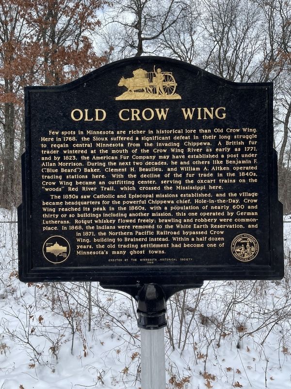
Old Crow Wing
Few spots in Minnesota are richer in historical lore than Old Crow Wing. Here in 1768, the Sioux suffered a significant defeat in their long struggle to regain central Minnesota from the invading Chippewa. A British fur trader wintered at the mouth of the Crow Wing River as early as 1771, and by 1823, the American Fur Company may have established a post under Allan Morrison. During the next two decades, he and others like Benjamin F. (“Blue Bear”) Baker, Clement H. Beaulieu, and William A. Aitken operated trading stations here. With the decline of the fur trade in the 1840s, Crow Wing became an outfitting center, serving the oxcart trains on the “woods” Red River Trail, which crossed the Mississippi here.
The 1850s saw Catholic and Episcopal missions established, and the village became headquarters for the powerful Chippewa chief, Hole-in-the-Day, Crow Wing reached its peak in the 1860s, with a population of nearly 600 and thirty or so buildings including another mission, this one operated by German Lutherans. Rotgut whiskey flowed freely; brawling and robbery were commonplace. In 1868, the Indians were removed to the White Earth Reservation, and in 1871, the Northern Pacific Railroad bypassed Crow Wing, building to Brainerd instead. Within a half dozen years, the old trading settlement had become one of Minnesota’s many ghost towns.
Erected 1968 by Minnesota Historical Society.
Topics. This historical marker is listed in this topic list: Settlements & Settlers. A significant historical year for this entry is 1768.
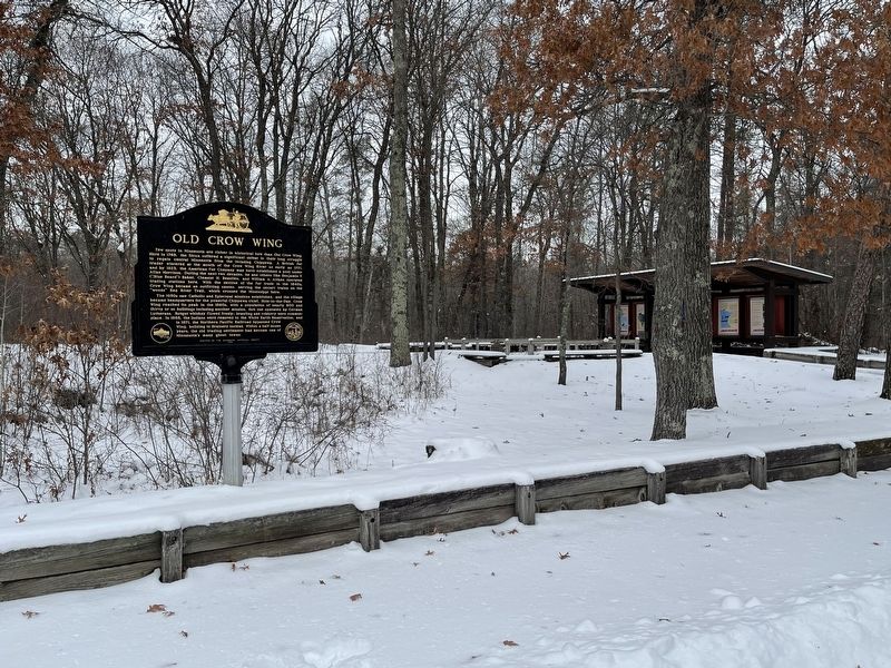
Location. 46° 16.398′ N, 94° 19.956′ W. Marker is in Brainerd, Minnesota, in Crow Wing County. Marker is on Unnnamed road north of State Park Road, on the left when traveling north. The marker is within Crow Wing State Park. It is off of a short, unnamed boulevard which is besides the park office and leads to the park campground and other attractions. Touch for map. Marker is in this post office area: Brainerd MN 56401, United States of America. Touch for directions.
Other nearby markers. At least 8 other markers are within 9 miles of this marker, measured as the crow flies. Chapel of St. Francis Xavier (approx. 0.2 miles away); Fort Ripley (approx. 6.7 miles away); All Veterans Memorial (approx. 8.4 miles away); Reconciliation (approx. 8.4 miles away); The Mills Companies Corporate Headquarters (approx. 8˝ miles away); Depot Park (approx. 8.6 miles away); First Northern Pacific (approx. 8.6 miles away); Former Northern Pacific Railway Water Tower (approx. 8.6 miles away). Touch for a list and map of all markers in Brainerd.
Credits. This page was last revised on October 3, 2022. It was originally submitted on October 3, 2022, by Liz Koele of St. Paul, Minnesota. This page has been viewed 272 times since then and 52 times this year. Photos: 1, 2. submitted on October 3, 2022, by Liz Koele of St. Paul, Minnesota. • J. Makali Bruton was the editor who published this page.

