Morgan Hill in Santa Clara County, California — The American West (Pacific Coastal)
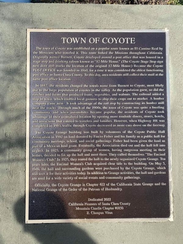
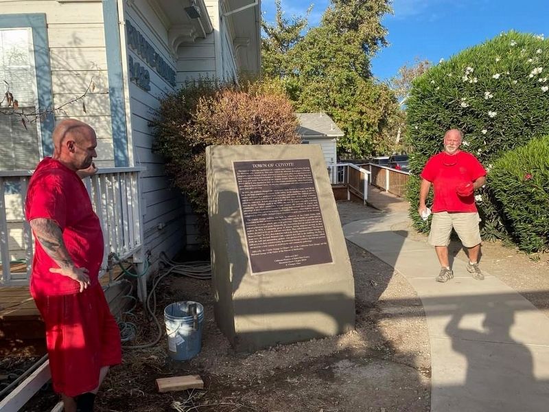
Town of Coyote
In 1882, the residents changed the town's name from Burnett to Coyote, most likely due to the large population of coyotes in the valley. As the population grew, so did the ranches and farms that produced fruits, vegetables, and walnuts. The railroad added a stop in town, which enabled local growers to ship their crops out to market. A lumber company came next. It took advantage of the rail stop by constructing its lumber mill near the tracks. Through much of the 1900s, the town of Coyote was quite a bustling community, and when automobiles became popular, the residents of Coyote took advantage of their centralized location by opening more roadside diners, stores, hotels, and attractions that catered to travelers and families. However, when Highway 101 was completed in 1983, traffic through Coyote decreased as more cars drove on the freeway.
The Coyote Grange building was built by volunteers of the Coyote Public Hall Association in 1902 on land donated by Fiacro Fisher and his family as a public hall for community meetings, school, and social gatherings. Fisher had been given the land as part of a Mexican land grant. Eventually, the association died out and the hall fell into neglect. In 1923, a community group of women, having outgrown meeting in their homes, decided to fix up the hall and meet there. They called themselves "The Encinal Women's Club. In 1925, they rented the hall to the newly organized Coyote Grange. Ten years later, The Encinal Women's Club acquired clear title to the building. On May 5, 1949, the hall and surrounding gardens were purchased by the Coyote Grange, which still uses it for their activities today. In addition to grange activities, the hall and gardens are used for a wide variety of social events and community gatherings.
Officially, the Coyote Grange is Chapter 412 of the California State Grange and the National Grange of the Order of the Patrons of Husbandry.
Dedicated 2022
Erected 2022 by California Pioneers of Santa Clara County and Mountain Charlie Chapter #1850 E Clampus Vitus.
Topics. This historical marker is listed in these topic lists: Fraternal or Sororal Organizations • Settlements & Settlers.
Location. 37° 13.024′ N, 121° 44.385′ W. Marker is in Morgan Hill, California, in Santa Clara County. Marker is on Monterey Road, on the right when traveling north. Touch for map. Marker is at or near this postal address: 8140 Monterey Road, Coyote CA 95013, United States of America. Touch for directions.
Other nearby markers. At least 8 other markers are within 4 miles of this marker, measured as the crow flies. The Bernal Adobe Site and Bear Tree (approx. 3 miles away); The Santa Teresa Spring (approx. 3.1 miles away); a different marker also named The Santa Teresa Spring (approx. 3.1 miles away); The Bernal Hacienda (approx. 3.1 miles away); Calero County Park – Bailey Fellows House (approx. 3.1 miles away); Beyond Cattle & Farming (approx. 3.2 miles away); Farming Replaces Cattle Ranching (approx. 3.2 miles away); Welcome to the Bernal-Gulnac-Joice Ranch (approx. 3.2 miles away).
Credits. This page was last revised on October 14, 2022. It was originally submitted on October 9, 2022, by Frank Gunshow Sanchez of Hollister, California. This page has been viewed 191 times since then and 36 times this year. Photos: 1. submitted on October 9, 2022, by Frank Gunshow Sanchez of Hollister, California. 2. submitted on October 9, 2022. • Bill Pfingsten was the editor who published this page.

