Dyess in Mississippi County, Arkansas — The American South (West South Central)
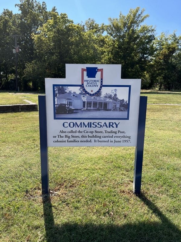
Commissary
Historic Dyess Colony
Topics. This historical marker is listed in this topic list: Notable Buildings. A significant historical month for this entry is June 1957.
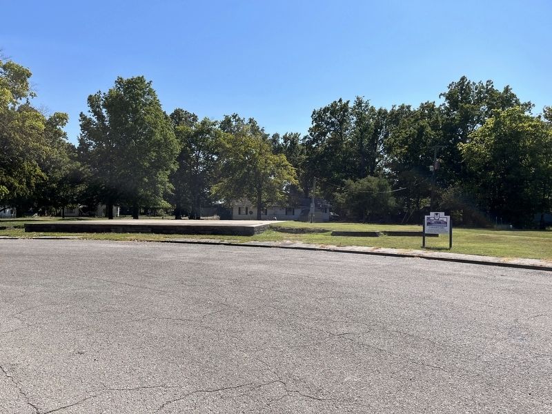
Location. 35° 35.397′ N, 90° 12.864′ W. Marker is in Dyess, Arkansas, in Mississippi County. Marker is at the intersection of Center Drive and Main Street (State Highway 297), on the right when traveling north on Center Drive. Touch for map. Marker is at or near this postal address: 110 Center Drive, Dyess AR 72330, United States of America. Touch for directions.
Other nearby markers. At least 8 other markers are within 7 miles of this marker, measured as the crow flies. Dyess Colony (within shouting distance of this marker); Cafe & Shops (within shouting distance of this marker); School (approx. 0.2 miles away); Community Building (approx. 0.2 miles away); Johnny Cash (approx. 1.8 miles away); World War II POW Camp (approx. 6.6 miles away); SSG James R. Hendrix (approx. 6.8 miles away); Lepanto Veterans Memorial (approx. 6.8 miles away). Touch for a list and map of all markers in Dyess.
Also see . . . Dyess Colony. The Dyess Colony and Johnny Cash Boyhood Home site are maintained by Arkansas State University. (Submitted on October 9, 2022, by Craig Swain of Leesburg, Virginia.)
Additional keywords. Great Depression
Credits. This page was last revised on October 10, 2022. It was originally submitted on October 9, 2022, by Craig Swain of Leesburg, Virginia. This page has been viewed 86 times since then and 9 times this year. Photos: 1, 2. submitted on October 9, 2022, by Craig Swain of Leesburg, Virginia.

