Gananoque in Leeds and Grenville United Counties, Ontario — Central Canada (North America)
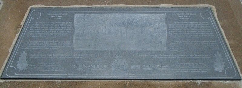
United Empire Loyalist Joel Stone 1749-1833
Loyaliste de l'empire uni Joel Stone 1749-1833
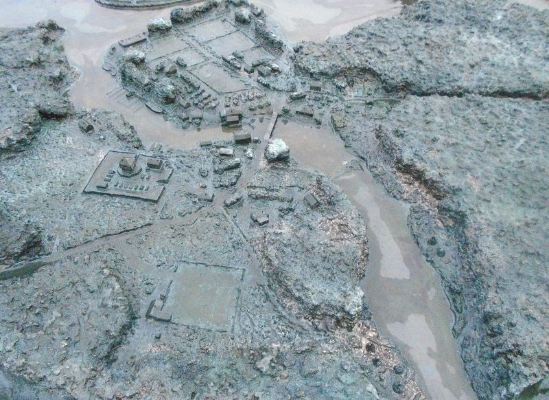
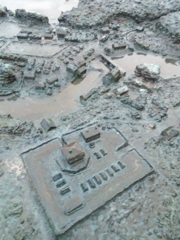
— The Garrison Settlement at Gananoque ca: 1815/16 —
Inscription.
Joel Stone was a prosperous merchant, who was born and raised in Connecticut and who joined British forces as a captain of the Loyalist militia in New York during the American Revolution (1775-1783). Because of his loyalty to Britain, the revolutionary authorities confiscated Stone's property and he was forced to resettle in Upper Canada. As compensation for his forfeitures in Connecticut, the British Crown granted Stone 700 acres of land on the west side of the Gananoque River.
Stone and several of his associates from Connecticut arrived on this site in 1791 to clear the land and begin to build. His lands extended for 5 km. north along the west banks of the Gananoque River from its confluence with the St. Lawrence River and for 3.5 km. west along its shores to Sheriff's (now Lindsay) Point.
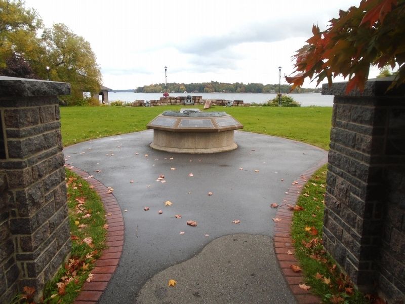
This bronze diorama depicts the garrison settlement at Gananoque as it appeared in 1816 and is geographically oriented to the surrounding natural topography.
Stone et plusieurs de ses associés du Connecticut arrivèrent sur ce site en 1791 pour défricher les terres et commencer à construire. Ses terres s'étendaient sur 5 km vers le nord, le long des berges de la rivière Gananoque, à partir de sa confluence avec le fleuve Saint-Laurent, et sur 3,5 km vers l'ouest le long des rives, jusqu'à la pointe Sheriff (aujourd'hui Lindsay).
Ce diorama de bronze décrit l'établissement de la garnison à Gananoque, tel gu'il apparaissait en 1816, et est géographiquement orienté pour faire valoir la topographie naturelle environnante.
Erected by Canadian Heritage, Town of Gananoque, and Concerned Citizens and Service Clubs.
Topics. This historical marker is listed in these topic lists: Settlements & Settlers • War of 1812. A significant historical year for this entry is 1791.
Location. 44° 19.398′ N, 76°
9.738′ W. Marker is in Gananoque, Ontario, in Leeds and Grenville United Counties. Marker is on Water Street just west of Market Street, on the left when traveling west. Marker and Garrison Settlement diorama are located in Joel Stone Heritage Park. Touch for map. Marker is in this post office area: Gananoque ON K7G 2M5, Canada. Touch for directions.
Other nearby markers. At least 8 other markers are within walking distance of this marker. Taming the Wilderness / Domestiquer la Nature (here, next to this marker); Infrastructure / Infrastructures (here, next to this marker); River Traffic / Affluence sur la Rivière (here, next to this marker); The Raid on Gananoque / Le Raid sur la Gananoque (here, next to this marker); The Garrison Settlement / l’Établissement de la Garnison (here, next to this marker); A Bright and Prosperous Future / un Avenir Brillant et Prospère (here, next to this marker); War of 1812-1814 (a few steps from this marker); War Memorial (within shouting distance of this marker). Touch for a list and map of all markers in Gananoque.
More about this marker. The black granite markers are difficult to photograph and have the text legible in the photo.
Related markers. Click here for a list of markers that are related to this marker. Follow the markers for a chronological timeline of Joel Stone and Gananoque
Also see . . . Joel Stone. (Submitted on October 10, 2022, by William Fischer, Jr. of Scranton, Pennsylvania.)
Credits. This page was last revised on October 3, 2023. It was originally submitted on October 10, 2022, by William Fischer, Jr. of Scranton, Pennsylvania. This page has been viewed 80 times since then and 14 times this year. Photos: 1, 2, 3, 4. submitted on October 10, 2022, by William Fischer, Jr. of Scranton, Pennsylvania.


