Ewing in Lee County, Virginia — The American South (Mid-Atlantic)
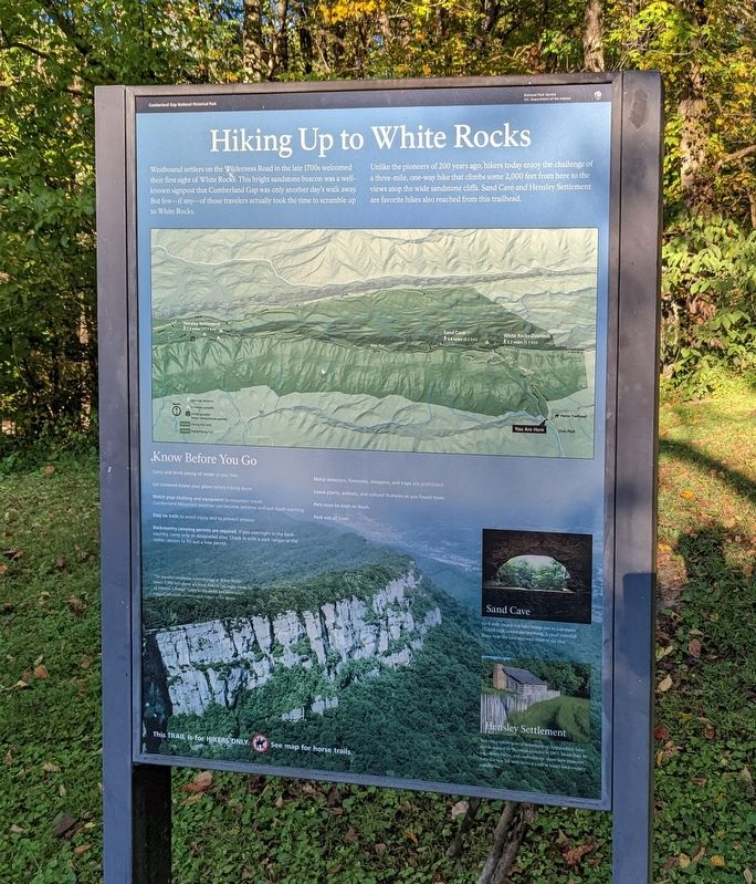
Hiking Up to White Rocks
— Cumberland Gap National Historical Park —
Unlike the pioneers of 200 years ago, hikers today enjoy the challenge of a three-mile, one-way hike that climbs some 2,000 feet from here to the views atop the wide sandstone cliffs. Sand Cave and Hensley Settlement are favorite hikes also reached from this trailhead.
(captions)
The massive sandstone outcroppings at White Rocks tower 3,500 feet above sea level. Hikers can enjoy views of Virginia's Powell Valley to the south and Kentucky's rugged labyrinth of coves and ridges to the north.
Sand Cave
An 8-mile round-trip hike brings you to a dramatic 75-foot-high sandstone overhang. A small waterfall flows near the cave entrance most of the year.
Hensley Settlement
You can explore several mountaintop Appalachian farmsteads started by Sherman Hensley in 1903. More than 40 log cabins, barns, and outbuildings show how pioneers forged a new life with limited tools in tough backcountry conditions.
Erected by National Park Service, U.S. Department of the Interior.
Topics. This historical marker is listed in this topic list: Settlements & Settlers.
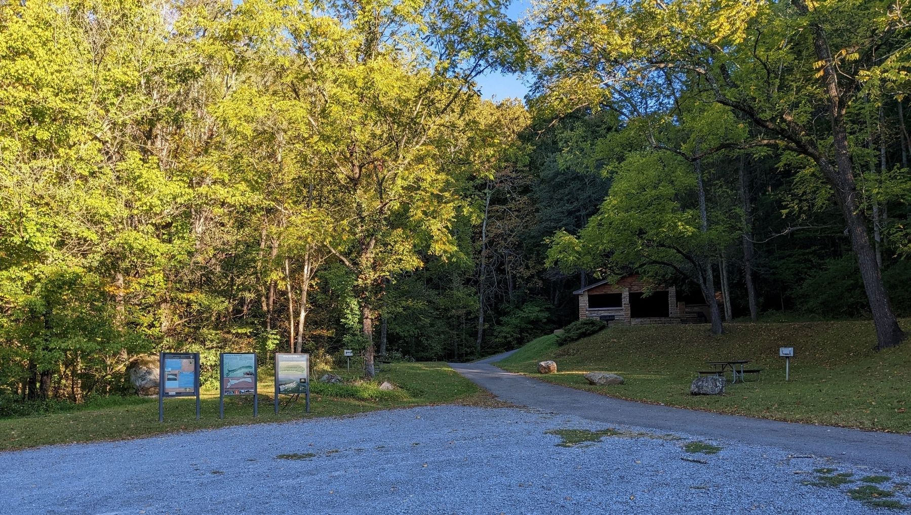
Location. 36° 39.13′ N, 83° 26.142′ W. Marker is in Ewing, Virginia, in Lee County. Marker can be reached from Civitan Park Road, 0.1 miles west of Sand Cave Road when traveling west. Marker is an upright wayside in the Civic Park parking lot. Touch for map. Marker is in this post office area: Ewing VA 24248, United States of America. Touch for directions.
Other nearby markers. At least 8 other markers are within 5 miles of this marker, measured as the crow flies. White Rocks (approx. 1.3 miles away); William H. Starnes: Agricultural Educator (approx. 1.4 miles away); John Ball (approx. 1.7 miles away); Daniel Boone Trail (approx. 1.9 miles away); Indian Mound (approx. 1.9 miles away); Lee County Code Breakers (approx. 3.3 miles away); Pioneer Graves (approx. 4.2 miles away); Martin’s Station (approx. 4.8 miles away). Touch for a list and map of all markers in Ewing.
Credits. This page was last revised on October 11, 2022. It was originally submitted on October 10, 2022. This page has been viewed 165 times since then and 35 times this year. Photos: 1, 2. submitted on October 10, 2022. • Bernard Fisher was the editor who published this page.

