Near Oglesby in LaSalle County, Illinois — The American Midwest (Great Lakes)
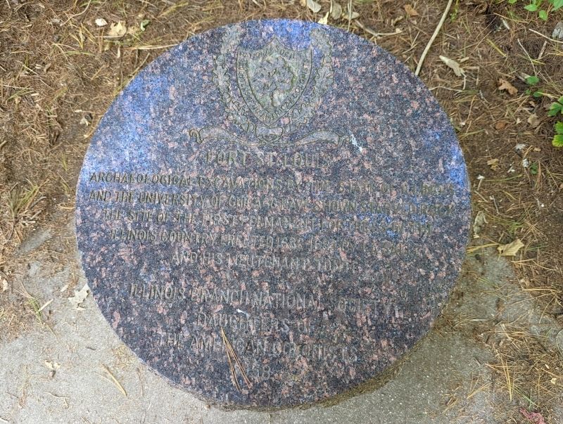
Fort St. Louis
Erected 1958 by Illinois Branch National Society Daughters of the American Colonists.
Topics. This historical marker is listed in this topic list: Forts and Castles.
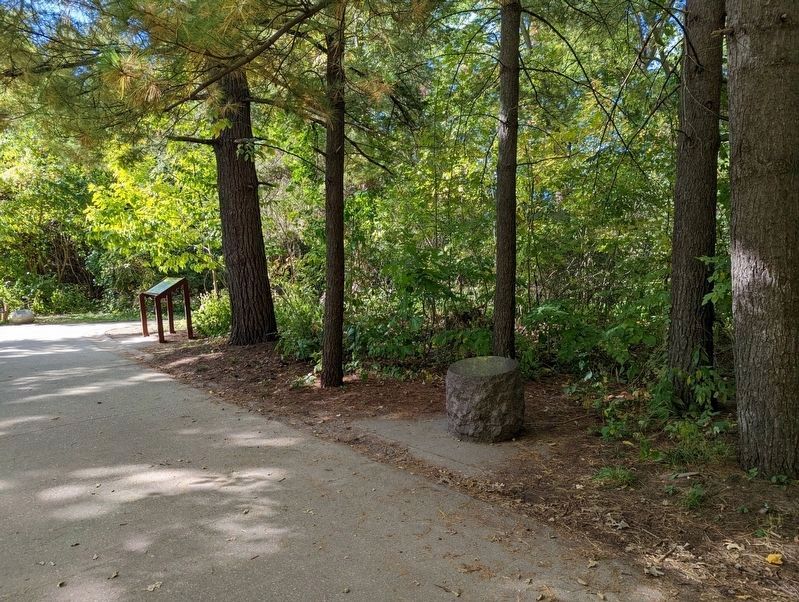
Location. 41° 19.245′ N, 88° 59.484′ W. Marker is near Oglesby, Illinois, in LaSalle County. Located on the Starved Rock Trail in Starved Rock State Park. Touch for map. Marker is in this post office area: Oglesby IL 61348, United States of America. Touch for directions.
Other nearby markers. At least 8 other markers are within 2 miles of this marker, measured as the crow flies. Commemorating the Deeds of the Union Veterans of the Civil War (about 300 feet away, measured in a direct line); This Plaque is Placed in Memory of the Patriots (about 400 feet away); Starved Rock (about 400 feet away); The Legend of Starved Rock (about 400 feet away); A New Water Highway (about 500 feet away); René Robert Cavelier Sieur de La Salle (about 600 feet away); Building Starved Rock Lodge (approx. 0.2 miles away); Aitken School (approx. 1.6 miles away). Touch for a list and map of all markers in Oglesby.
Credits. This page was last revised on October 11, 2022. It was originally submitted on October 11, 2022, by Mike Wintermantel of Pittsburgh, Pennsylvania. This page has been viewed 129 times since then and 31 times this year. Photos: 1, 2. submitted on October 11, 2022, by Mike Wintermantel of Pittsburgh, Pennsylvania.

