Tower in Saint Louis County, Minnesota — The American Midwest (Upper Plains)
Tower
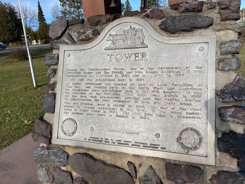
Named for Charlemagne Tower, one of the developers of the Vermilion Range and Duluth and Iron Range Railroad. It was incorporated as a village in 1884 and as a city in 1889. A saw mill was established here in 1882.
An Indian settlement was located on near-by Lake Vermilion at Pike Bay and trading posts of the North West and American Fur Companies were established then in the 19th century. It was the terminus of the Vermilion Trail built from Duluth in 1865 for the gold rush prospectors pouring into the region. During its construction the first evidences of iron ore were found.
This ore crusher, used in search for gold, was one of the first pieces of mining equipment in the area. It was found underwater in Trout Creek in 1934. The first iron mine in Minnesota was opened near here in Soudan in 1884.
Erected 1957 by St. Louis County Historical Society and Minnesota Highway Department.
Topics. This historical marker is listed in these topic lists: Industry & Commerce • Settlements & Settlers. A significant historical year for this entry is 1884.
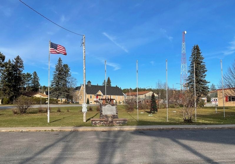
Location. 47° 48.291′ N, 92° 16.763′ W. Marker is in Tower, Minnesota, in Saint Louis County. Marker is on Poirier Road, on the left when traveling south. Touch for map. Marker is in this post office area: Tower MN 55790, United States of America. Touch for directions.
Other nearby markers. At least 8 other markers are within 11 miles of this marker, measured as the crow flies. Tower Train Museum (within shouting distance of this marker); Welcome to DM&IR Engine # 1218 (within shouting distance of this marker); Old Fire Hall (approx. 0.2 miles away); The Soudan Mine (approx. 2 miles away); The Old Vermilion Trail and Winston City (approx. 3.9 miles away); Hanka Homestead (approx. 8.7 miles away); Apostolic Lutheran Church (approx. 10.4 miles away); Nelimark Sauna (approx. 10.6 miles away). Touch for a list and map of all markers in Tower.
Credits. This page was last revised on October 12, 2022. It was originally submitted on October 12, 2022, by Liz Koele of St. Paul, Minnesota. This page has been viewed 98 times since then and 21 times this year. Photos: 1, 2. submitted on October 12, 2022, by Liz Koele of St. Paul, Minnesota. • J. Makali Bruton was the editor who published this page.

