Edwards AFB in Kern County, California — The American West (Pacific Coastal)
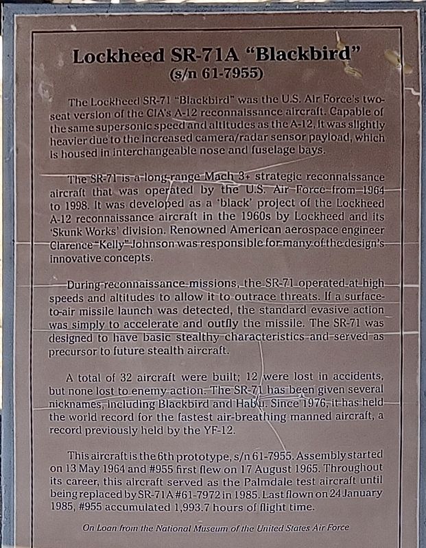
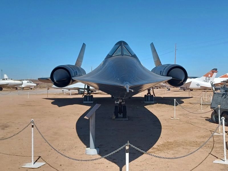
Lockheed SR-71A “Blackbird”
S/N 61-7955
During reconnaissance missions, the SR-71 operated at high speeds and altitudes to allow it to outrace threats. If a surface-to-air missile launch was detected, the standard evasive action was simply to accelerate and outfly the missile. The SR-71 was designed to have basic stealthy characteristics and served as precursor to future stealth aircraft.
A total of 32 aircraft were built; 12 were lost in accidents, but none lost enemy action. The SR-71 has been given several nicknames, including Blackbird and Habu. Since 1976, it has held the world record for the fastest air-breathing manned aircraft, a record previously held by the YF-12.
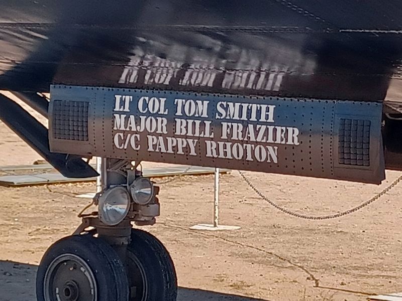
This aircraft is the 6th prototype, s/n 61-7955. Assembly started on 13 May 1964 and #955 first flew on 17 August 1965. Throughout its career, this aircraft served as the Palmdale test aircraft until being replaced by SR-71A #61-7972 in 1985. Last flown on 24 January 1985, #955 accumulated 1,993.7 hours of light time.
On loan from the National Museum of the United States Air Force.
Erected by Air Force Flight Test Museum.
Topics. This historical marker is listed in these topic lists: Air & Space • Exploration.
Location. 34° 54.742′ N, 117° 55.232′ W. Marker is in Edwards AFB, California, in Kern County. Marker is on Rosamond Blvd, 4.8 miles east of West Gate, on the left when traveling east. Located next to the old AFFTC Museum on base. Edwards AFB is not open to the public. Touch for map. Marker is at or near this postal address: 405 Rosamond Blvd, Edwards CA 93523, United States of America. Touch for directions.
Other nearby markers. At least 8 other markers are within walking distance of this marker. T-33A “Shooting Star” (within shouting distance of this marker); Piper PA-48 “Enforcer” (within shouting distance of this marker); UC-45J "Expeditor" (within shouting distance of this marker); PGM-17A "Thor" (within shouting distance of this marker); N.F.-11 (T.T.-20) “Meteor” (within shouting distance of this marker); T-28B "Trojan" (within shouting distance of this marker); YA-7D "Corsair II" (within shouting distance of this marker); F-84F "Thunderstreak" (within shouting distance of this marker). Touch for a list and map of all markers in Edwards AFB.
Credits. This page was last revised on October 21, 2022. It was originally submitted on October 15, 2022, by Denise Boose of Tehachapi, California. This page has been viewed 100 times since then and 15 times this year. Photos: 1, 2, 3. submitted on October 15, 2022, by Denise Boose of Tehachapi, California. • Bill Pfingsten was the editor who published this page.


