Sioux Falls in Minnehaha County, South Dakota — The American Midwest (Upper Plains)
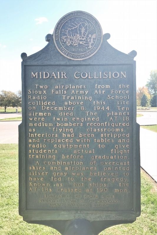
Midair Collision
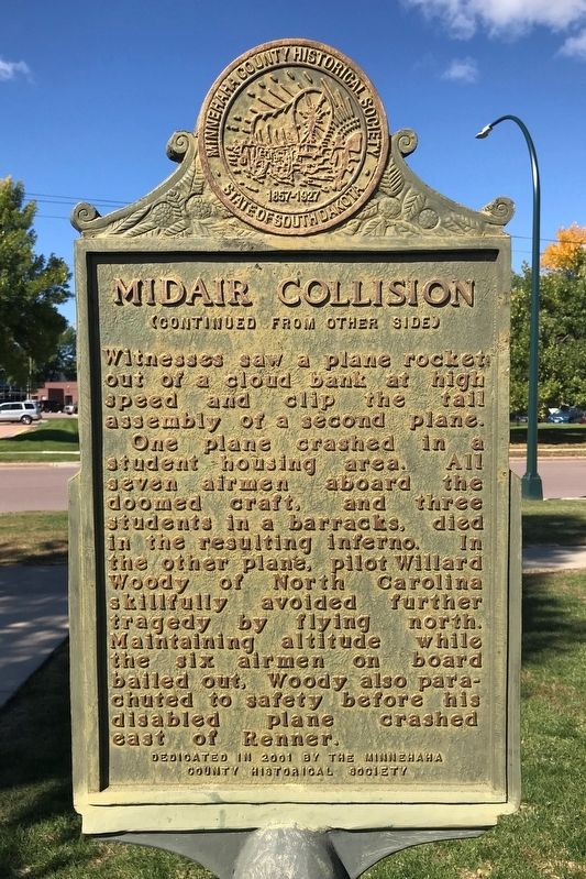
A combination of overcast skies and airplanes painted silver gray was believed to have led to the tragedy. Known as "hot ships," the AT-18s cruised at 190 mph. Witnesses saw a plane rocket out of a cloud bank at high speed and clip the tail assembly of a second plane.
One plane crashed in a student housing area. All seven airmen aboard the doomed craft, and three students in a barracks, died in the resulting inferno. In the other plane, pilot Willard Woody of North Carolina skillfully avoided further tragedy by flying north. Maintaining altitude while the six airmen on board bailed out, Woody also parachuted to safety before his disabled plane crashed east of Renner.
Erected 2001 by the Minnehaha County Historical Society.
Topics. This historical marker is listed in these topic lists: Air & Space • Disasters. A significant historical date for this entry is December 8, 1944.
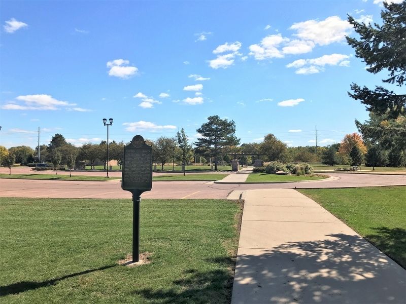
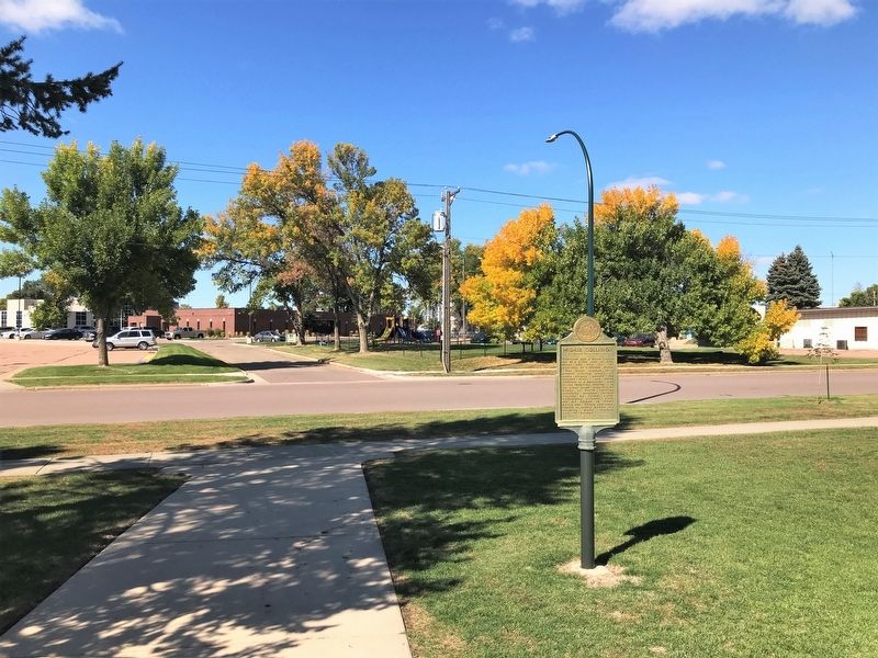
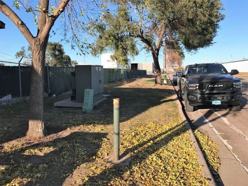
Location. 43° 33.731′ N, 96° 44.49′ W. Marker is in Sioux Falls, South Dakota, in Minnehaha County. Marker is on West Bailey Street, 0.1 miles east of North Covell Avenue, on the right when traveling east. Located northwest of Veterans' Memorial Park in Sioux Falls. Touch for map. Marker is at or near this postal address: 1021 W Bailey St, Sioux Falls SD 57104, United States of America. Touch for directions.
Other nearby markers. At least 8 other markers are within walking distance of this marker. "Eternal Sentry" (within shouting distance of this marker); Liberty Tree (within shouting distance of this marker); Daughters of the American Revolution (about 300 feet away, measured in a direct line); Going Home (about 400 feet away); Never Came Home (about 400 feet away); Michael John Fitzmaurice (about 500 feet away); Medal of Honor Garden (about 500 feet away); Gold Star Families Memorial Monument (about 500 feet away). Touch for a list and map of all markers in Sioux Falls.
More about this marker. This marker was previously located at 43° 34.199′ N, 96° 44.682′ W, on North Industrial Avenue, between West Cherokee Street & West Blackhawk Street.
Credits. This page was last revised on October 17, 2022. It was originally submitted on October 15, 2022. This page has been viewed 101 times since then and 13 times this year. Photos: 1, 2, 3, 4. submitted on October 15, 2022. 5. submitted on October 17, 2022.
