Elizabethtown in Hardin County, Kentucky — The American South (East South Central)
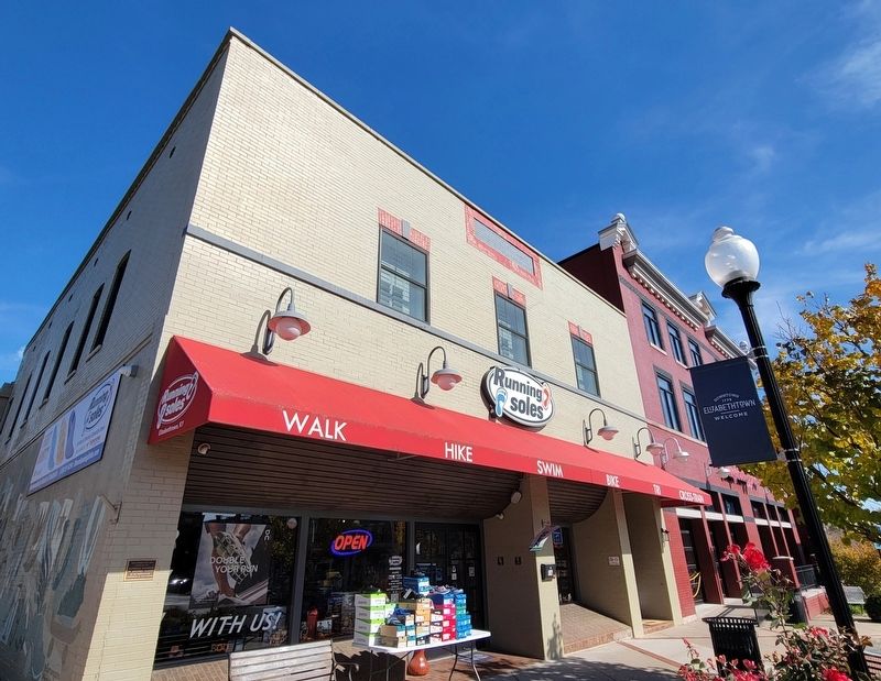
16 Public Square
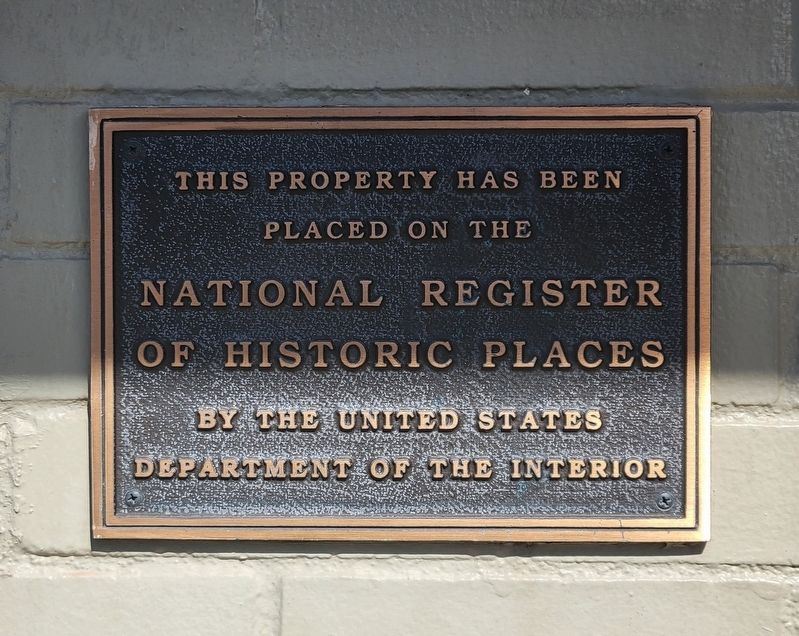
placed on the
National Register
of Historic Places
by the United States
Department of the Interior
Topics. This historical marker is listed in this topic list: Architecture.
Location. 37° 41.599′ N, 85° 51.462′ W. Marker is in Elizabethtown, Kentucky, in Hardin County. Marker is at the intersection of Public Square (U.S. 31W) and North Main Street, on the right when traveling west on Public Square. Touch for map. Marker is at or near this postal address: 16 Public Sq, Elizabethtown KY 42701, United States of America. Touch for directions.
Other nearby markers. At least 8 other markers are within walking distance of this marker. 23 Public Square (a few steps from this marker); 'Ordinary' Hospitality Here (within shouting distance of this marker); Bricks and Mortar of Elizabethtown's Early Economy (within shouting distance of this marker); Bell from the Courthouse (within shouting distance of this marker); Bicentennial Observance of the Birth of President Abraham Lincoln (within shouting distance of this marker); General Custer Here (within shouting distance of this marker); Hardin County (within shouting distance of this marker); Battle of Elizabethtown (within shouting distance of this marker). Touch for a list and map of all markers in Elizabethtown.
Regarding 16 Public Square. Part of the Elizabethtown Courthouse Square and Commercial District, this building was added to the National Register of Historic Places on March 19, 1980.
Credits. This page was last revised on October 29, 2022. It was originally submitted on October 26, 2022, by Bradley Owen of Morgantown, West Virginia. This page has been viewed 121 times since then and 16 times this year. Photos: 1, 2. submitted on October 26, 2022, by Bradley Owen of Morgantown, West Virginia. • Mark Hilton was the editor who published this page.

