Guelph in Wellington County, Ontario — Central Canada (North America)
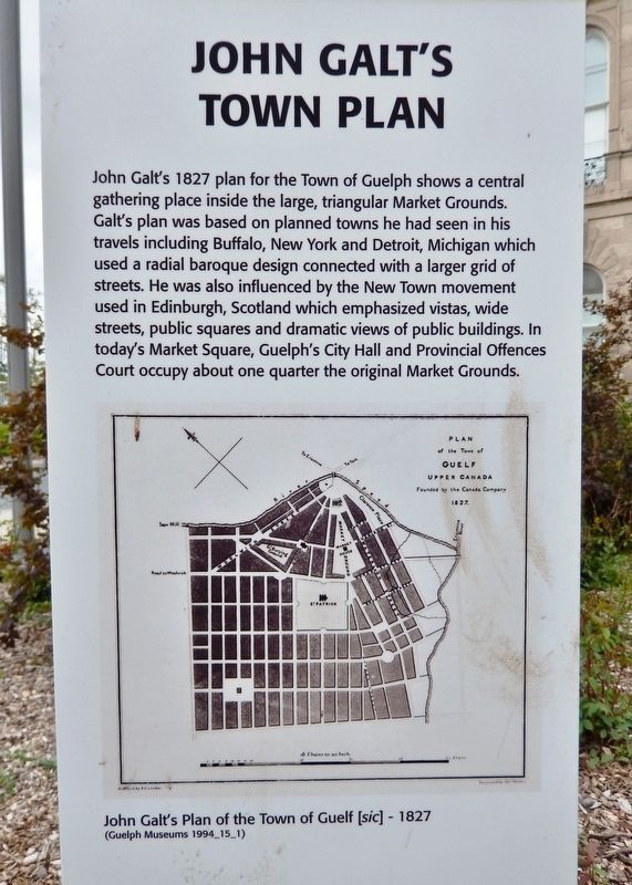
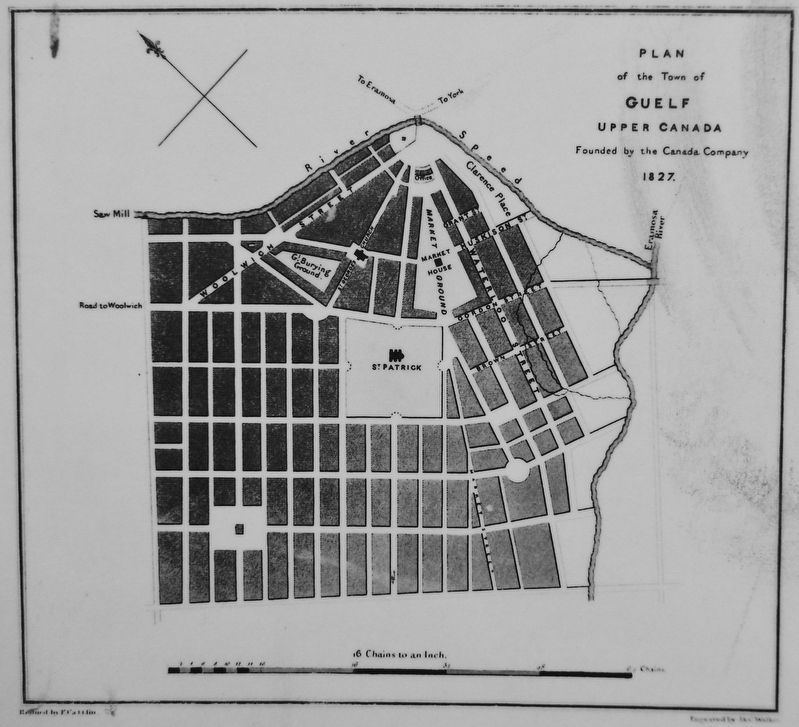
John Galt's Town Plan
John Galt's 1827 plan for the Town of Guelph shows a central gathering place inside the large, triangular Market Grounds. Galt’s plan was based on planned towns he had seen in his travels including Buffalo, New York and Detroit, Michigan which used a radial baroque design connected with a larger grid of streets. He was also influenced by the New Town movement used in Edinburgh, Scotland which emphasized vistas, wide streets, public squares and dramatic views of public buildings. In today's Market Square, Guelph's City Hall and Provincial Offences Court occupy about one quarter the original Market Grounds.
Topics. This historical marker is listed in this topic list: Settlements & Settlers. A significant historical year for this entry is 1827.
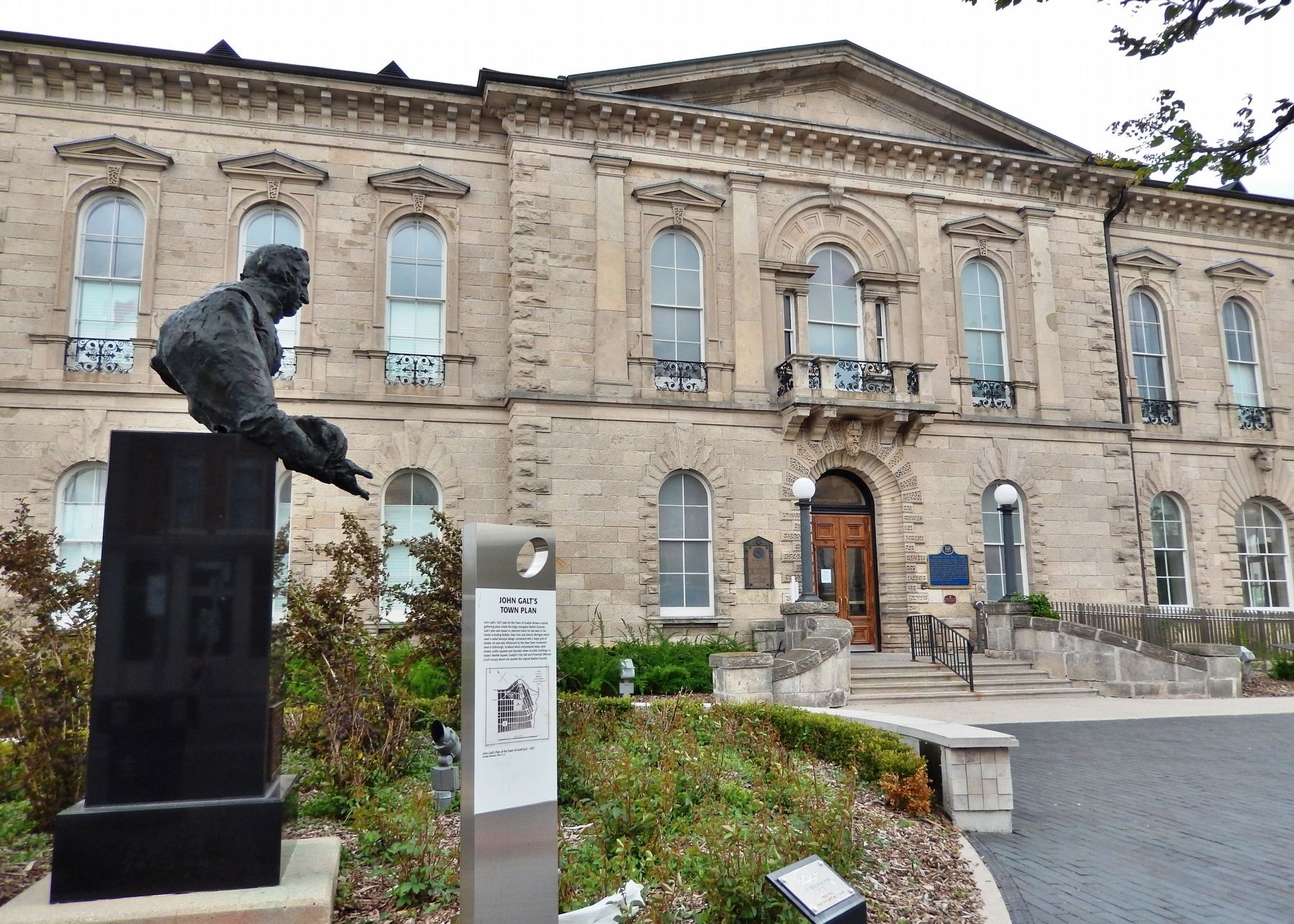
Location. 43° 32.647′ N, 80° 14.873′ W. Marker is in Guelph, Ontario, in Wellington County. Marker is on Carden Street just west of Wyndham Street North, on the left when traveling west. Marker is located beside the John Galt Monument, near the northeast corner of the Guelph Provincial Courthouse grounds. Touch for map. Marker is at or near this postal address: 59 Carden Street, Guelph ON N1H 2Z9, Canada. Touch for directions.
Other nearby markers. At least 8 other markers are within walking distance of this marker. John Galt (here, next to this marker); Guelph City Hall 1856 (a few steps from this marker); Guelph's Original Town Hall (a few steps from this marker); Guelph City Hall / L'hôtel de ville de Guelph (a few steps from this marker); The Toronto-Dominion Bank (about 90 meters away, measured in a direct line); Provincial Winter Fair Building (about 90 meters away); The Home of the First Mayor of Guelph (about 150 meters away); Guelph Salvation Army (approx. 0.3 kilometers away). Touch for a list and map of all markers in Guelph.
Also see . . . John Galt and the Founding of Guelph.
Guelph was a planned town, with roads and facilities laid out and built according to a plan. Galt adopted the concept of a “planned town” in advance of general settlement in order to stimulate sales of agricultural land. Galt’s original layout, with streets radiating from a single focal point, is still visible in Guelph’s downtown core. Galt named Guelph after Britain’s royal family, the Hanoverians, who were descended from the Guelfs. Guelph was first incorporated as a village in 1851, and then as a town in 1856.(Submitted on October 28, 2022, by Cosmos Mariner of Cape Canaveral, Florida.)
Credits. This page was last revised on October 28, 2022. It was originally submitted on October 27, 2022, by Cosmos Mariner of Cape Canaveral, Florida. This page has been viewed 178 times since then and 42 times this year. Photos: 1, 2, 3. submitted on October 28, 2022, by Cosmos Mariner of Cape Canaveral, Florida.


