Stevenson Ranch near Santa Clarita in Los Angeles County, California — The American West (Pacific Coastal)
Mentryville’s Barn
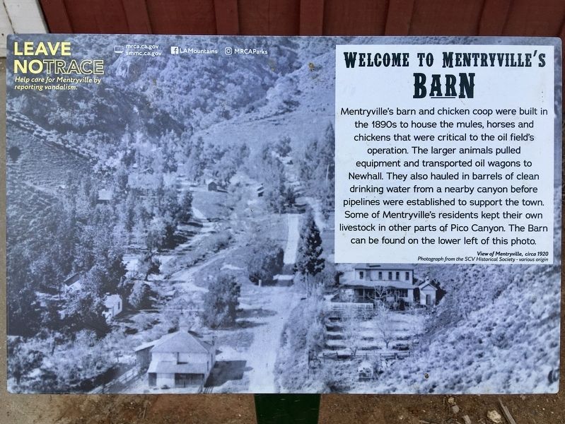
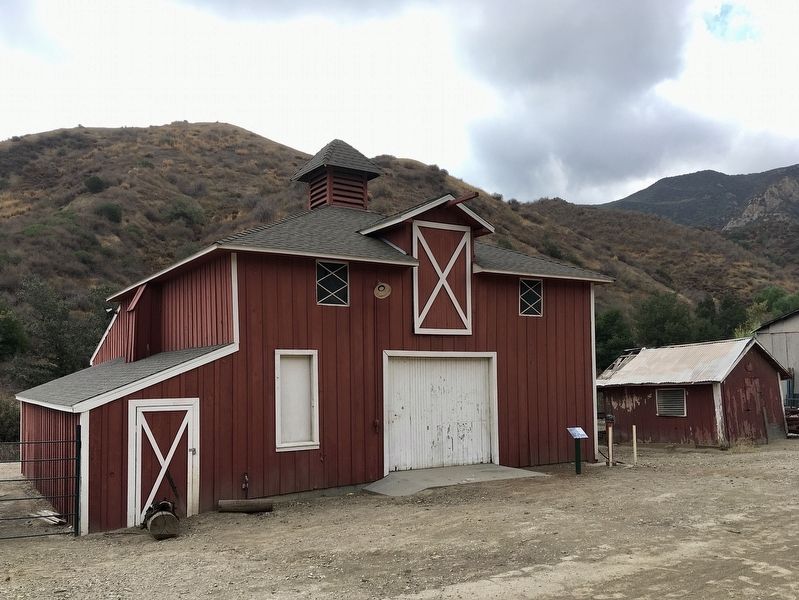
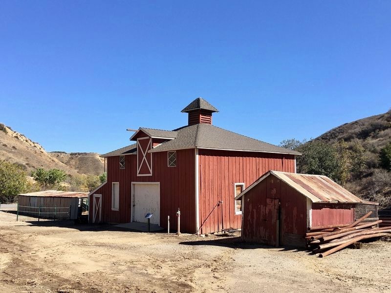
Mentryville's barn and chicken coop were built in the 1890s to house the mules, horses and chickens that were critical to the oil field's operation. The larger animals pulled equipment and transported oil wagons to Newhall. They also hauled in barrels of clean drinking water from a nearby canyon before pipelines were established to support the town. Some of Mentryville's residents kept their own livestock in other parts of Pico Canyon. The Barn can be found on the lower left of this photo.
View of Mentryville, circa 1920. Photograph from the SCV Historical Society.
Help care for Mentryville by reporting vandalism.
Erected 2021 by Mountains Recreation and Conservation Authority, and Santa Monica Mountains Conservancy.
Topics. This historical marker is listed in these topic lists: Architecture • Industry & Commerce. A significant historical year for this entry is 1920.
Location. 34° 22.761′ N, 118° 36.65′ W. Marker is near Santa Clarita, California, in Los Angeles County. It is in Stevenson Ranch. Marker can be reached from Pico Canyon Road, 3 miles west of Interstate 5. Touch for map. Marker is in this post office area: Stevenson Ranch CA 91381, United States of America. Touch for directions.
Other nearby markers. At least 8 other markers are within 4 miles of this marker, measured as the crow flies. Mentryville (a few steps from this marker); Pico Cottage (within shouting distance of this marker); Movie Façade House (within shouting distance of this marker); Felton School (about 600 feet away, measured in a direct line); First Commercial Oil Well In California (approx. 1.2 miles away); Pioneer Oil Refinery (approx. 2.7 miles away); Oak of the Golden Dream (approx. 2.7 miles away); a different marker also named Oak of the Golden Dream (approx. 3.7 miles away). Touch for a list and map of all markers in Santa Clarita.
Credits. This page was last revised on July 3, 2023. It was originally submitted on October 27, 2022, by Craig Baker of Sylmar, California. This page has been viewed 107 times since then and 18 times this year. Photos: 1, 2. submitted on October 27, 2022, by Craig Baker of Sylmar, California. 3. submitted on November 10, 2022, by Craig Baker of Sylmar, California.


