Near Stillwater in Saratoga County, New York — The American Northeast (Mid-Atlantic)
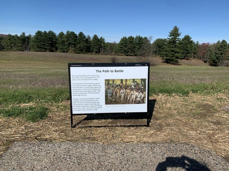
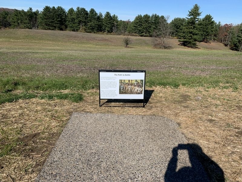
The Path to Battle
Morning skirmishing in the woods over a mile north of here on September 19, 1777 made clear. The British were coming.
General Arnold "took the liberty to give it as my Opinion that we ought to March out and attack them." General Gates agreed. He told Arnold to send Colonel Morgan and the light Infantry, and support them. This elite force totaled over over 700 and included Stockbridge warriors.
Morgan's men moved toward the sounds of gunfire on the wooded path to your right. Ahead lay the unknown perils and uncertainties of combat. Could they beat the British? Would their courage fail? Would they survive? Most- but not all-passed this point again as they returned to camp
Topics. This historical marker is listed in this topic list: War, US Revolutionary. A significant historical date for this entry is September 19, 1777.
Location. 42° 59.721′ N, 73° 38.57′ W. Marker is near Stillwater, New York, in Saratoga County. Marker is on Tour Road, on the right when traveling north. Spot No. 4 on the tour road. Touch for map. Marker is in this post office area: Stillwater NY 12170, United States of America. Touch for directions.
Other nearby markers. At least 8 other markers are within walking distance of this marker. Asa Chatfield Farm (within shouting distance of this marker); Saratoga 1777 (approx. ¼ mile away); a different marker also named Saratoga 1777 (approx. ¼ mile away); Rockefeller Memorial (approx. 0.3 miles away); a different marker also named Saratoga 1777 (approx. 0.3 miles away); Timothy Murphy (approx. 0.3 miles away); Brig. Gen. Abraham Ten Broeck (approx. 0.4 miles away); The Battle Begins at Barber’s Wheat Field (approx. 0.4 miles away). Touch for a list and map of all markers in Stillwater.
Credits. This page was last revised on November 1, 2022. It was originally submitted on October 29, 2022, by Steve Stoessel of Niskayuna, New York. This page has been viewed 96 times since then and 27 times this year. Photos: 1, 2. submitted on October 29, 2022, by Steve Stoessel of Niskayuna, New York. • Bill Pfingsten was the editor who published this page.

