Near Shawsville in Montgomery County, Virginia — The American South (Mid-Atlantic)
American Revolution on the Frontier
Inscription.
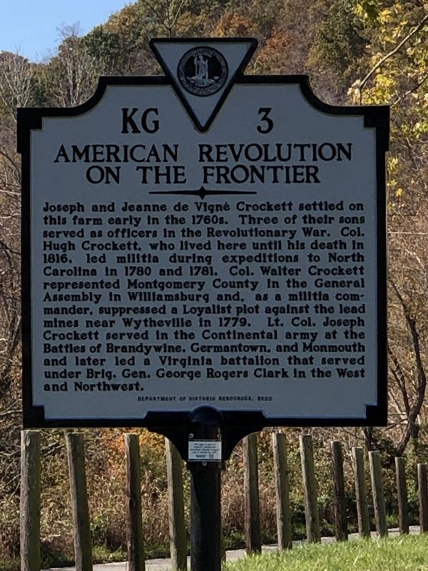
Joseph and Jeanne de Vigné Crockett settled on this farm early in the 1760s. Three of their sons served as officers in the Revolutionary War. Col. Hugh Crockett, who lived here until his death in 1816, led militia during expeditions to North Carolina in 1780 and 1781. Col. Walter Crockett represented Montgomery County in the General Assembly in Williamsburg and, as a militia commander, suppressed a Loyalist plot against the lead mines near Wytheville in 1779. Lt. Col. Joseph Crockett served in the Continental army at the Battles of Brandywine, Germantown, and Monmouth and later led a Virginia battalion that served under Brig. Gen. George Rogers Clark in the West and Northwest.
Erected 2020 by Virginia Department of Historic Resources. (Marker Number KG-3.)
Topics and series. This historical marker is listed in these topic lists: Patriots & Patriotism • War, US Revolutionary. In addition, it is included in the Virginia Department of Historic Resources (DHR) series list. A significant historical year for this entry is 1779.
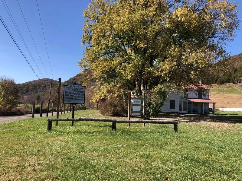
Location. 37° 9.251′ N, 80° 15.667′ W. Marker is near Shawsville, Virginia, in Montgomery County. Marker is on Alleghany Spring Road (Virginia Route 637) half a mile south of Slusher Lane, on the right when traveling south. Touch for map. Marker is at or near this postal address: 847 Alleghany Spring Rd, Shawsville VA 24162, United States of America. Touch for directions.
Other nearby markers. At least 8 other markers are within 8 miles of this marker, measured as the crow flies. Fort Vause (approx. 1.2 miles away); Bow String Arch Truss (approx. 6.2 miles away); Montgomery White Sulphur Springs (approx. 6.2 miles away); The “Bowstring” Truss Bridge (approx. 6.2 miles away); Montgomery County / Roanoke County (approx. 6.7 miles away); Christiansburg (approx. 7.1 miles away); Floyd County / Roanoke County (approx. 7½ miles away); The Oaks (approx. 8 miles away).
Related markers. Click here for a list of markers that are related to this marker.
Credits. This page was last revised on November 3, 2022. It was originally submitted on November 3, 2022, by Duane and Tracy Marsteller of Murfreesboro, Tennessee. This page has been viewed 300 times since then and 87 times this year. Photos: 1, 2. submitted on November 3, 2022, by Duane and Tracy Marsteller of Murfreesboro, Tennessee.

