Marietta in Washington County, Ohio — The American Midwest (Great Lakes)
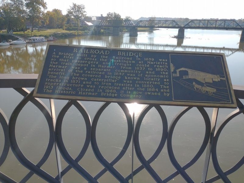
Railroad Bridge
Erected by Marietta Kiwanis Club.
Topics. This historical marker is listed in these topic lists: Bridges & Viaducts • Railroads & Streetcars. A significant historical year for this entry is 1859.
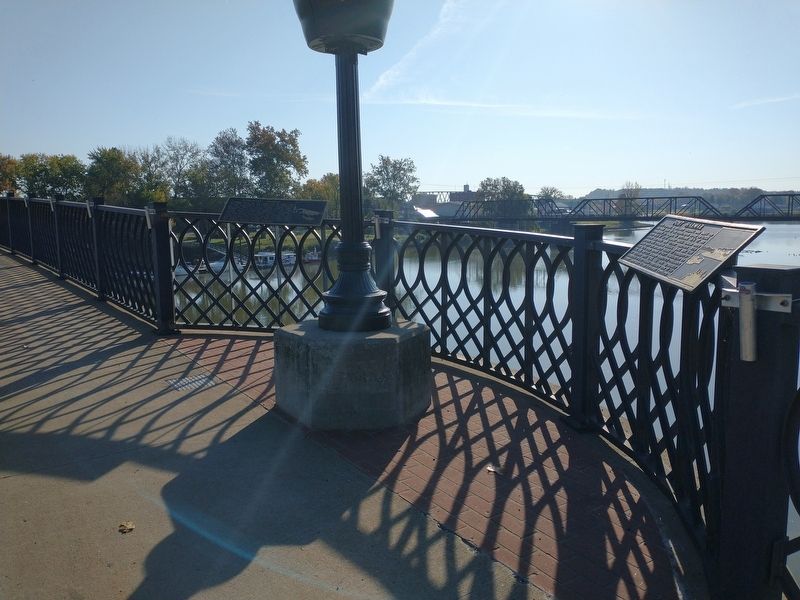
Location. 39° 24.797′ N, 81° 27.497′ W. Marker is in Marietta, Ohio, in Washington County. Marker is on Putnam Bridge east of Gilman Avenue, on the right when traveling east. Touch for map. Marker is at or near this postal address: 521 Putnam Bridge, Marietta OH 45750, United States of America. Touch for directions.
Other nearby markers. At least 8 other markers are within walking distance of this marker. Fort Harmar (here, next to this marker); Natural History (a few steps from this marker); Steamboat Era (a few steps from this marker); Offenberger & White, Inc. (within shouting distance of this marker); Putnam House (within shouting distance of this marker); Rowing History (within shouting distance of this marker); David Putnam House (about 300 feet away, measured in a direct line); Watershed (about 300 feet away). Touch for a list and map of all markers in Marietta.
Credits. This page was last revised on November 10, 2022. It was originally submitted on November 3, 2022, by Craig Doda of Napoleon, Ohio. This page has been viewed 61 times since then and 9 times this year. Photos: 1, 2. submitted on November 3, 2022, by Craig Doda of Napoleon, Ohio. • Devry Becker Jones was the editor who published this page.

