Two Bridges in Manhattan in New York County, New York — The American Northeast (Mid-Atlantic)
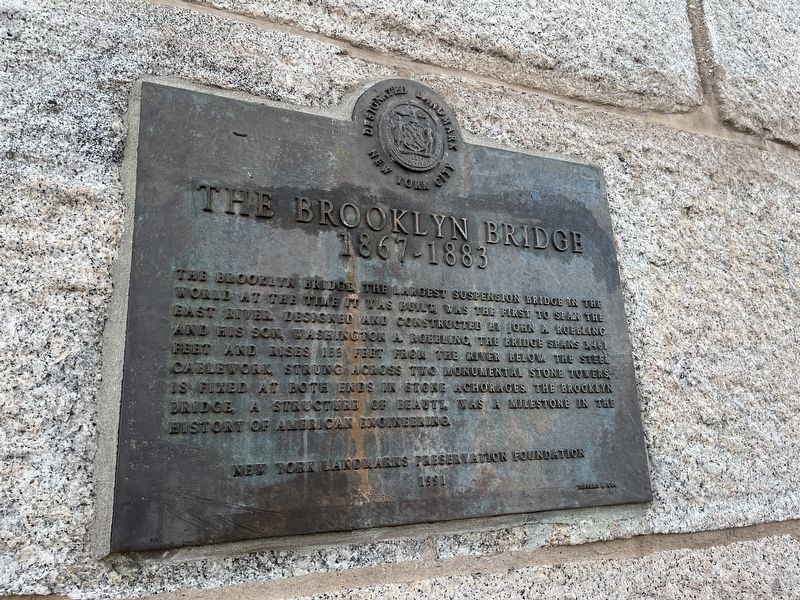
The Brooklyn Bridge
1867 - 1883
— Designated Landmark, New York City —
Erected 1991 by New York Landmarks Preservation Foundation.
Topics. This historical marker is listed in these topic lists: Bridges & Viaducts • Landmarks.
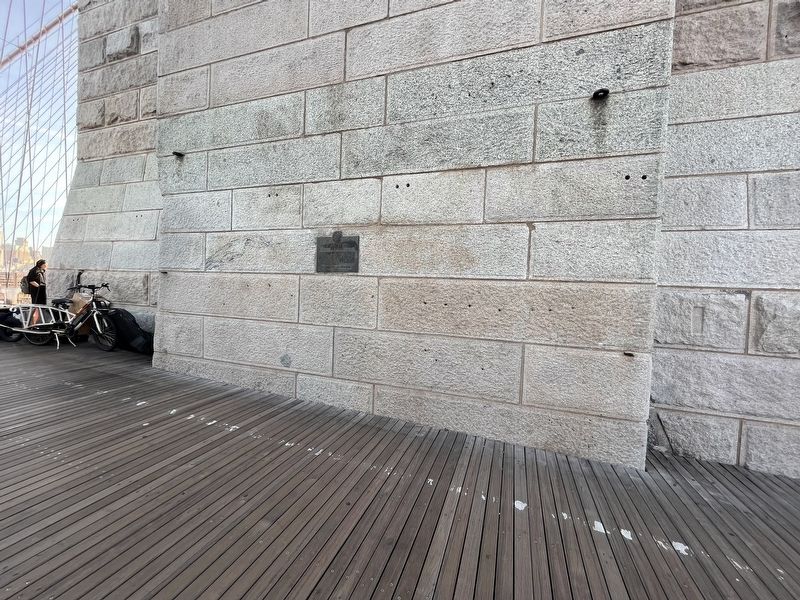
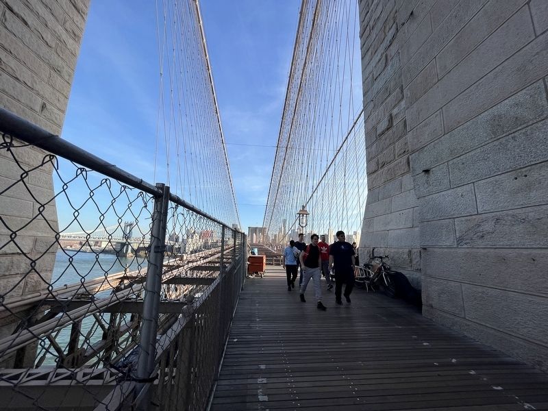
Location. 40° 42.461′ N, 73° 59.903′ W. Marker is in Manhattan, New York, in New York County. It is in Two Bridges. Marker is on Brooklyn Bridge Promenade, in the median. Touch for map. Marker is at or near this postal address: 52 Brooklyn Bridge Promenade, New York NY 10038, United States of America. Touch for directions.
Other nearby markers. At least 8 other markers are within walking distance of this marker. How the Bridge was Built (within shouting distance of this marker); Panaroma of Brooklyn South of the Brooklyn Bridge (within shouting distance of this marker); 1883 The City of Brooklyn (within shouting distance of this marker); Lower East Side - Peck Slip (about 700 feet away, measured in a direct line); Lower East Side – 1767 (about 700 feet away); Peck Slip (about 700 feet away); The East River Bikeway and Esplanade (about 700 feet away); Catherine Street (about 800 feet away). Touch for a list and map of all markers in Manhattan.
More about this marker. An identical marker can be found on Brooklyn side of the bridge.
Credits. This page was last revised on January 31, 2023. It was originally submitted on November 6, 2022, by Devry Becker Jones of Washington, District of Columbia. This page has been viewed 76 times since then and 15 times this year. Photos: 1, 2, 3. submitted on November 6, 2022, by Devry Becker Jones of Washington, District of Columbia.


