Marion in Smyth County, Virginia — The American South (Mid-Atlantic)
Mount Pleasant Methodist Church
Inscription.
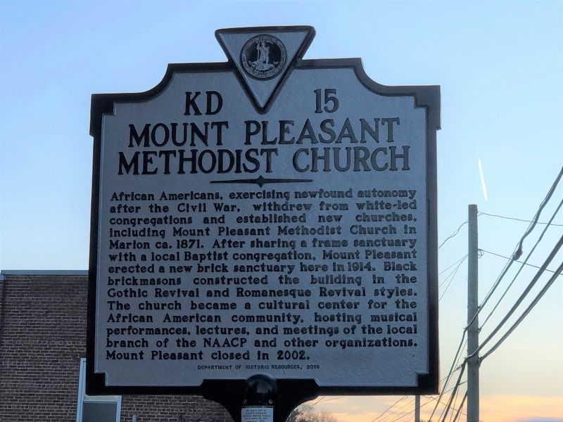
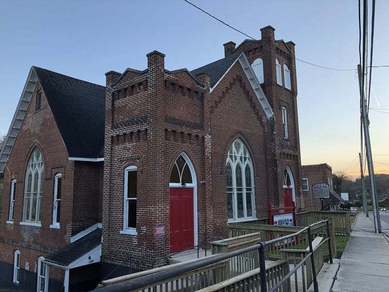
African Americans, exercising newfound autonomy after the Civil War, withdrew from white-led congregations and established new churches, including Mount Pleasant Methodist Church in Marion ca. 1871. After sharing a frame sanctuary with a local Baptist congregation, Mount Pleasant erected a new brick sanctuary here in 1914. Black brick masons constructed the building in the Gothic Revival and Romanesque Revival styles. The church became a cultural center for the African American community, hosting musical performances, lectures, and meetings of the local branch of the NAACP and other organizations. Mount Pleasant closed in 2002.
Erected 2019 by Virginia Department of Historic Resources. (Marker Number KD-15.)
Topics and series. This historical marker is listed in these topic lists: African Americans • Churches & Religion. In addition, it is included in the Virginia Department of Historic Resources (DHR) series list. A significant historical year for this entry is 1871.
Location. 36° 49.828′ N, 81° 31.453′ W. Marker is in Marion, Virginia, in Smyth County. Marker is on South Main Street (U.S. 11) 0.1 miles east of South Poston Street, on the right when traveling east. Touch for map. Marker is at or near this postal address: 320 S Main St, Marion VA 24354, United States of America. Touch for directions.
Other nearby markers. At least 8 other markers are within walking distance of this marker. Marion 9/11 Memorial (about 600 feet away, measured in a direct line); “The Crying Tree” (about 700 feet away); J. C. Campbell House (approx. 0.2 miles away); Marion Municipal Building (approx. 0.2 miles away); Royal Oak Presbyterian Church (approx. ¼ mile away); Sherwood Anderson (approx. ¼ mile away); D.C. Miller Law Office (approx. ¼ mile away); Smyth County War Memorial (approx. ¼ mile away). Touch for a list and map of all markers in Marion.
Credits. This page was last revised on November 8, 2022. It was originally submitted on November 8, 2022, by Duane and Tracy Marsteller of Murfreesboro, Tennessee. This page has been viewed 115 times since then and 24 times this year. Photos: 1, 2. submitted on November 8, 2022, by Duane and Tracy Marsteller of Murfreesboro, Tennessee.

