Douglas in Tucker County, West Virginia — The American South (Appalachia)
Douglas, W. Va.
A Mining Town from 1891 to 1972
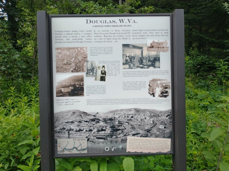
Company-owned mining towns usually included a railroad station, a company general store, a school, a post office, churches, and multi-family homes. Douglas was named for Douglas Gorman, Jr., an associate of Henry Gassaway Davis. At its peak, Douglas had around 900 residents. Reported one resident, “you’d see a line of lights along the hillside in evening in the winter…the miners’ lights on their helmets on their way home from work. They went to work before daylight and came home after the sun went down.”
[Captions]:
In this view, the road, river, and railroad curve toward Thomas at right. The small shelter in front of the large, rectangular company store serves as a waiting area for trains. Homes include several duplexes and a boarding house.
The company store was a main gathering spot in Douglass. Guy Bassalone, left, and Tony Lambruno pass time on the store’s front railing as young men. Tony’s wife, Alma Davis Lambruno, is pictured with him. She was Postmistress for the Douglas Post Office.
The Douglas Grade School building, at above right, was added in the 1930s. It included a Parent-Teacher Association, whose members posed for the photo above. One former student recalled, “The school…had a coal stove. The janitor had to build a fire every morning…a bus took high school students from Douglas to Thomas.”
Like company stores, barber shops were centers of social activity. Here, Frank Colabrese cuts hair for Arlie Shawn Davis in his shop, which overhung the railroad tracks. Davis was the last of four generations of men in his family to have his hair cut here.
A few years after the photo above, the passenger shelter is gone, leaving an open platform, and more houses reflect a growing population and changing architectural styles. Vegetation is filling in where freshly-cut trees and debris lay before.
Douglas was less than ten years old in the panoramic photograph. Note the lack of trees – results of a quick, late 19th century timber boom. The company store is visible along the track (A); some residents walked to the store in Thomas for better prices and selection. Today, people, walking the rail grade to see the waterfalls just downriver usually park beside the railroad bridge across Long Run (B). At least three coal mine tipples are visible (C, D, E). There are also “gob piles” (F) for mine waste and a narrow-gauge “dinky” railroad for moving material around (G). A row of coke ovens sits across the river (H).
“The coal miners would walk across a bridge from Douglas to the coal mines on the other side of the North Fork to go to work. Miners would go get a drink at the company store before going home. There was also a shower house in Douglas so that they could clean up after work…Each employee was assigned a number, and …a round metal tag with their number. When they had loaded a car with coal, they would put their tag on the car to make sure they got credit for it… There were six subsurface mines in the Douglas area, and …one “mine boss” living in town who was in charge of all six…When all the coke ovens were running, it lit up the valley.”
Topics. This historical marker is listed in these topic lists: Industry & Commerce • Settlements & Settlers.
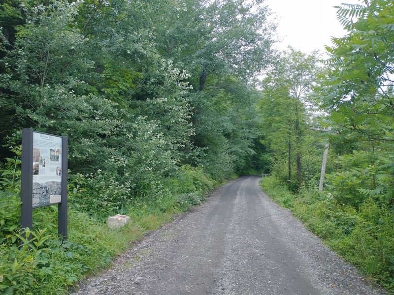
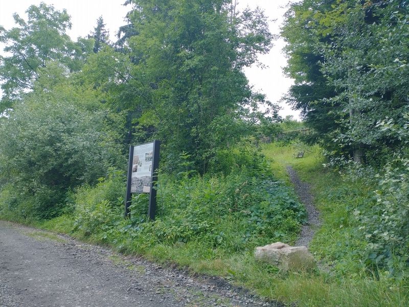
Location. 39° 7.653′ N, 79° 31.196′ W. Marker is in Douglas, West Virginia, in Tucker County. Marker is on Rail Falls Road (County Road 27/3) 0.9 miles south of Douglas Road (County Road 27), on the right when traveling south. Touch for map. Marker is at or near this postal address: 34 Shay Ln, Thomas WV 26292, United States of America. Touch for directions.
Other nearby markers. At least 8 other markers are within 2 miles of this marker, measured as the crow flies. Black Fork Grade (about 600 feet away, measured in a direct line); Reclaiming the Future (approx. 0.4 miles away); Creating Coke, Created More Than Smoke (approx. 0.4 miles away); From Coal to Coke (approx. 0.4 miles away); Mine Portal No. 29 (approx. ¾ mile away); Coketon Colored School (approx. 1.2 miles away); Engineering Building (approx. 1.2 miles away); The Company Store (approx. 1.2 miles away).
Also see . . . Douglas. (Submitted on November 11, 2022, by Tom Bosse of Jefferson City, Tennessee.)
Credits. This page was last revised on November 15, 2022. It was originally submitted on November 11, 2022, by Tom Bosse of Jefferson City, Tennessee. This page has been viewed 113 times since then and 18 times this year. Photos: 1, 2, 3, 4. submitted on November 11, 2022, by Tom Bosse of Jefferson City, Tennessee. • Devry Becker Jones was the editor who published this page.


