Near Strawberry Plains in Sevier County, Tennessee — The American South (East South Central)
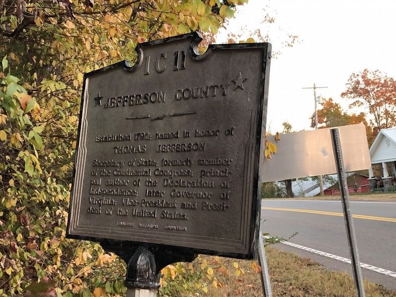
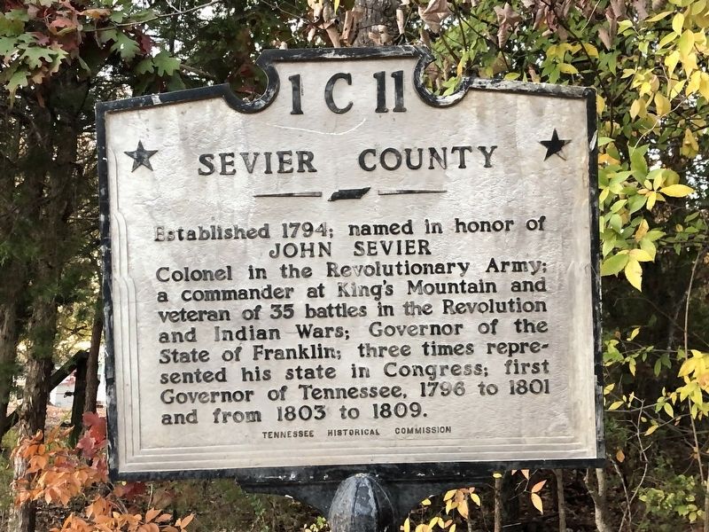
Jefferson County / Sevier County
Established 1792; named in honor of
Thomas Jefferson
Established 1794; named in honor of
John Sevier
Erected by Tennessee Historical Commission. (Marker Number 1 C 11.)
Topics and series. This historical marker is listed in this topic list: Political Subdivisions. In addition, it is included in the Tennessee Historical Commission series list. A significant historical year for this entry is 1792.
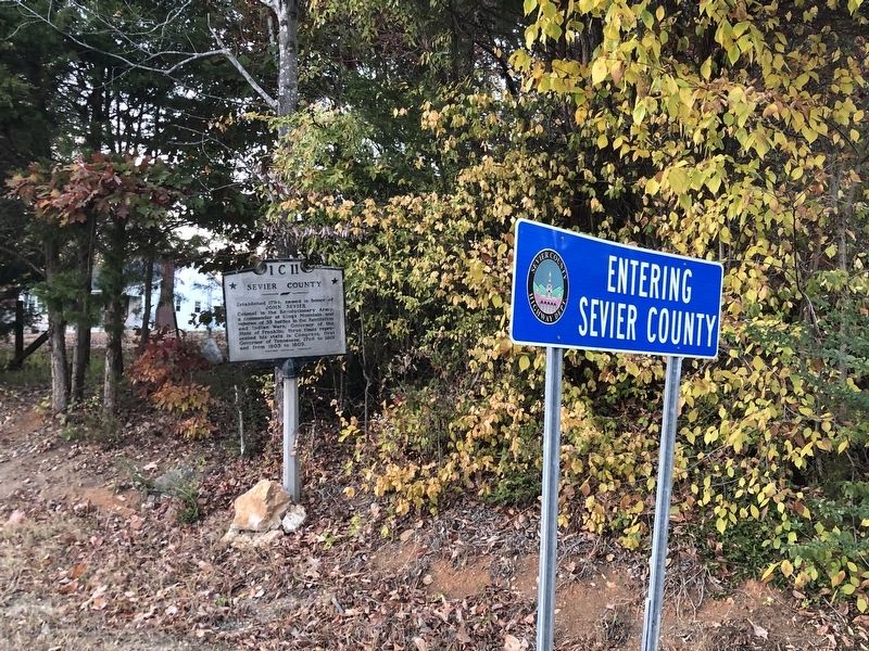
Location. 36° 1.164′ N, 83° 37.134′ W. Marker is near Strawberry Plains, Tennessee, in Sevier County. Marker is on Asheville Highway (U.S. 25W/70) ¼ mile west of Vickie Way, on the right when traveling west. Touch for map. Marker is at or near this postal address: 203 Asheville Hwy, Strawberry Plains TN 37871, United States of America. Touch for directions.
Other nearby markers. At least 8 other markers are within 7 miles of this marker, measured as the crow flies. Dumplin Creek Treaty (approx. 2.8 miles away); Henry's Station (approx. 3.2 miles away); Treaty of Dumplin Creek (approx. 3.4 miles away); Major Hugh Henry (approx. 4 miles away); Frances Hodgson Burnett (approx. 6.2 miles away); The Kelly Family Farm (approx. 6.3 miles away); Manifold Station (approx. 6.7 miles away); Steamboat Times on the French Broad (approx. 6.8 miles away).
Credits. This page was last revised on November 13, 2022. It was originally submitted on November 13, 2022, by Duane and Tracy Marsteller of Murfreesboro, Tennessee. This page has been viewed 131 times since then and 18 times this year. Photos: 1, 2, 3. submitted on November 13, 2022, by Duane and Tracy Marsteller of Murfreesboro, Tennessee.


