Branson in Stone County, Missouri — The American Midwest (Upper Plains)
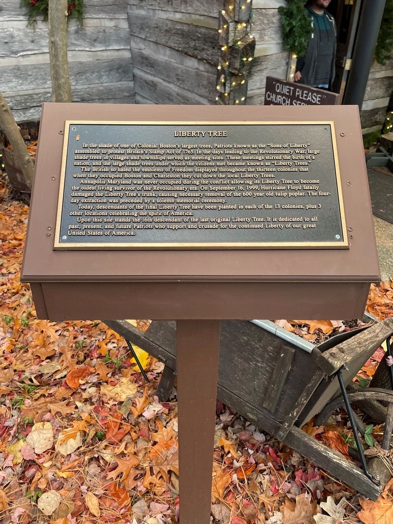
Liberty Tree
In the shade of one of Colonial Boston's largest trees, Patriots known as the "Sons of Liberty" assembled to protest Britain's Stamp Act of 1765. In the days leading to the Revolutionary War, large shade trees in villages and townships served as meeting sites. These meetings stirred the birth of a nation, and the large shade trees under which the citizens met became known as "Liberty Trees!"
The British so hated the emblems of Freedom displayed throughout the thirteen colonies that when they occupied Boston and Charleston they cut down the local Liberty Trees.
Annapolis Maryland was never occupied during the conflict allowing its Liberty Tree to become the oldest living survivor of the Revolutionary era. On September 16, 1999, Hurricane Floyd fatally damaged the Liberty Tree's trunk, causing necessary removal of the 600 year old tulip poplar. The four-day extraction was preceded by a solemn memorial ceremony.
Today, descendants of the final Liberty Tree have been planted in each of the 13 colonies, plus 3 other locations celebrating the spirit of America.
Upon this site stands the 16th descendant of the last original Liberty Tree. It is dedicated to all past, present, and future Patriots who support and crusade for the continued Liberty of our great United States of America.
Topics. This historical marker is listed in these topic lists: Horticulture & Forestry • Patriots & Patriotism • War, US Revolutionary. A significant historical date for this entry is September 16, 1999.
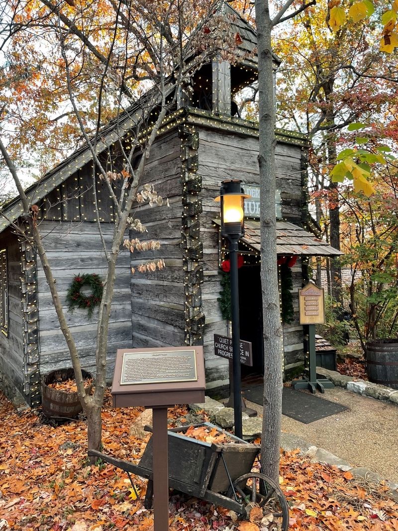
Location. 36° 40.089′ N, 93° 20.421′ W. Marker is in Branson, Missouri, in Stone County. Marker can be reached from Silver Dollar City Parkway, 0.2 miles north of Food Warehouse Lane, on the left when traveling north. The marker lies to the Wilderness Church in Silver Dollar City. Touch for map. Marker is at or near this postal address: 399 Silver Dollar City Pkwy, Reeds Spring MO 65737, United States of America. Touch for directions.
Other nearby markers. At least 8 other markers are within 4 miles of this marker, measured as the crow flies. Marvel Cave (about 300 feet away, measured in a direct line); M29 Weasel Tracked Vehicle (approx. 3.8 miles away); M25 Tank Transporter / LARC-V / M211 Deuce and a Half (approx. 3.8 miles away); LVT 4 Water Buffalo / M56 Scorpion / M43 Dodge Ambulance (approx. 3.8 miles away); M3 Half-Track / M59 Armored Personnel Carrier / GMC M220 Shop Van (approx. 3.8 miles away); The United States Armed Forces (approx. 3.8 miles away); WCTC-6 (approx. 3.8 miles away); Ripley's Mobile Military Marvels (approx. 3.8 miles away). Touch for a list and map of all markers in Branson.
Credits. This page was last revised on November 16, 2022. It was originally submitted on November 14, 2022, by Thomas Smith of Waterloo, Ill. This page has been viewed 179 times since then and 53 times this year. Photos: 1, 2. submitted on November 14, 2022, by Thomas Smith of Waterloo, Ill. • Devry Becker Jones was the editor who published this page.

