Boone in Watauga County, North Carolina — The American South (South Atlantic)
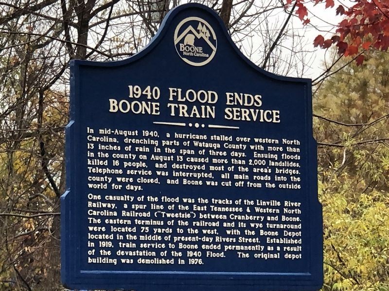
1940 Flood Ends Boone Train Service
Inscription.
In mid-August 1940, a hurricane stalled over western North
Carolina, drenching parts of Watauga County with more than
13 inches of rain in the span of three days. Ensuing floods
in the county on August 13 caused more than 2,000 landslides,
killed 16 people, and destroyed most of the area's bridges.
Telephone service was interrupted, all main roads into the
county were closed, and Boone was cut off from the outside
world for days.
One casualty of the flood was the tracks of the Linville River Railway, a spur line of the East Tennessee & Western North Carolina Railroad (“Tweetsie”) between Cranberry and Boone. The eastern terminus of the railroad and its wye turnaround were located 75 yards to the west, with the Boone Depot located in the middle of present-day Rivers Street. Established in 1919, train service to Boone ended permanently as a result of the devastation of the 1940 Flood. The original depot building was demolished in 1976.
Erected by Boone Historic Preservation Commission.
Topics. This historical marker is listed in these topic lists: Disasters • Railroads & Streetcars. A significant historical month for this entry is August 1940.
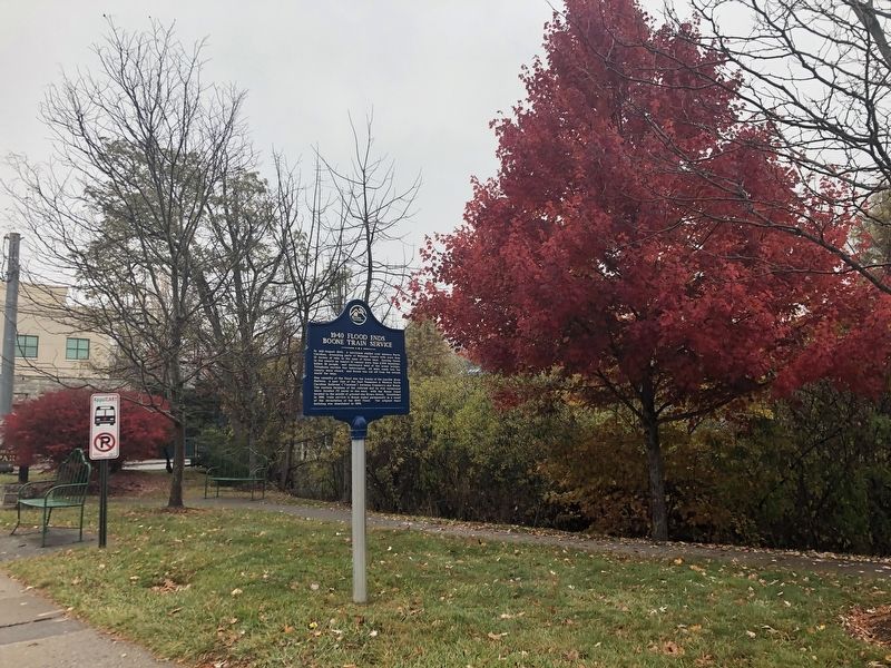
Location. 36° 13.035′ N, 81° 41.077′ W. Marker is in Boone, North Carolina, in Watauga County . Marker is at the intersection of Rivers Street and Depot Street, on the right when traveling east on Rivers Street. Marker is in Jimmy Smith Park. Touch for map. Marker is at or near this postal address: 884 Rivers St, Boone NC 28607, United States of America. Touch for directions.
Other nearby markers. At least 8 other markers are within walking distance of this marker. Councill's Store (about 600 feet away, measured in a direct line); Jones House (about 700 feet away); United States Post Office (about 700 feet away); The Junaluska Community (approx. 0.2 miles away); Ginseng Trade (approx. 0.2 miles away); Stoneman's Raid (approx. ¼ mile away); Historic Black Cemetery (approx. 0.4 miles away); Stanley Harris (approx. half a mile away). Touch for a list and map of all markers in Boone.
Credits. This page was last revised on November 16, 2022. It was originally submitted on November 16, 2022, by Duane and Tracy Marsteller of Murfreesboro, Tennessee. This page has been viewed 193 times since then and 53 times this year. Photos: 1, 2. submitted on November 16, 2022, by Duane and Tracy Marsteller of Murfreesboro, Tennessee.

