Blowing Rock in Watauga County, North Carolina — The American South (South Atlantic)
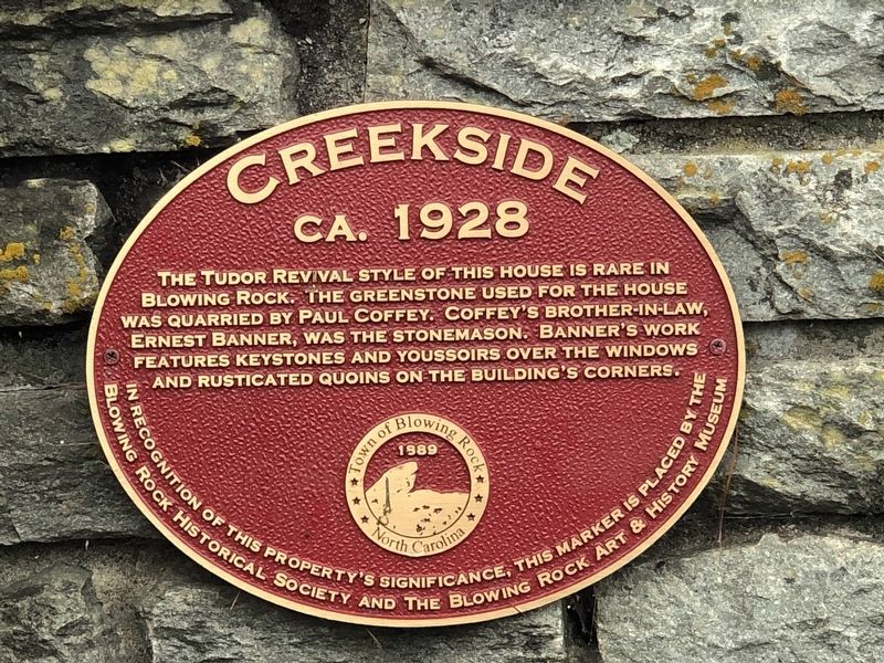
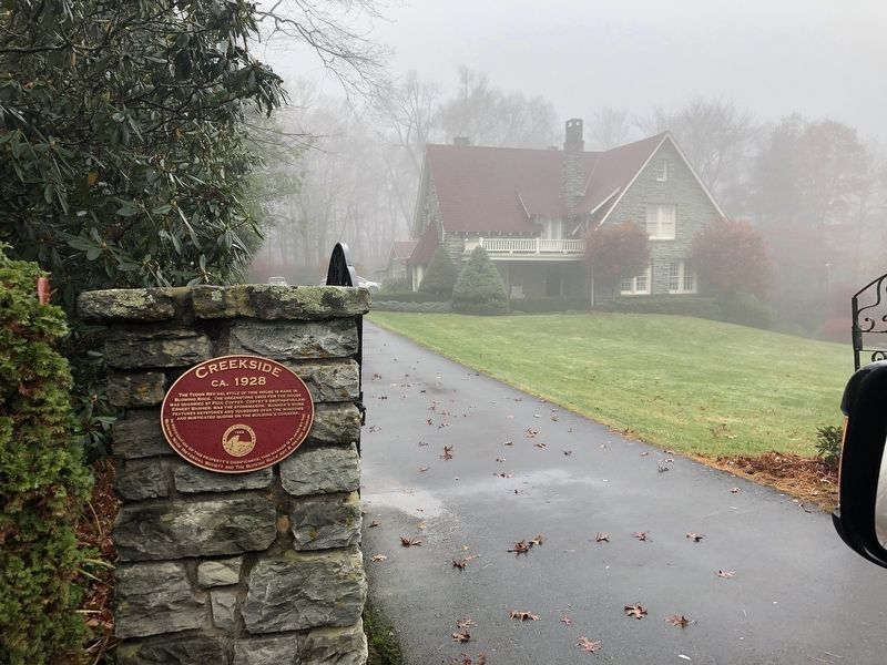
Creekside
ca. 1928
Blowing Rock Historical Society and the Blowing Rock Art & History Museum
Erected by Blowing Rock Historical Society • Blowing Rock Art and History Museum.
Topics. This historical marker is listed in this topic list: Architecture. A significant historical year for this entry is 1928.
Location. 36° 7.89′ N, 81° 40.796′ W. Marker is in Blowing Rock, North Carolina, in Watauga County. Marker is at the intersection of Wallingford Street and Pine Street, on the right when traveling south on Wallingford Street. Touch for map. Marker is at or near this postal address: 223 Wallingford St, Blowing Rock NC 28605, United States of America. Touch for directions.
Other nearby markers. At least 8 other markers are within walking distance of this marker. Home of Dr. and Mrs. Charles Carter (within shouting distance of this marker); Mayview Park (about 300 feet away, measured in a direct line); Uncle Joe Clark and Becoming a Town (about 300 feet away); Watauga Hotel and Memorial Park (about 400 feet away); Lenoir-Blowing Rock Turnpike (about 400 feet away); Schenck House (about 400 feet away); Early Visitors and Settlers (about 400 feet away); Rumple Memorial Presbyterian Church (about 400 feet away). Touch for a list and map of all markers in Blowing Rock.
Regarding Creekside. Coffey owned and operated a small quarry on Elk Creek in the Stony Fork community of Watauga County.
Credits. This page was last revised on November 17, 2022. It was originally submitted on November 16, 2022, by Duane and Tracy Marsteller of Murfreesboro, Tennessee. This page has been viewed 73 times since then and 18 times this year. Photos: 1, 2. submitted on November 16, 2022, by Duane and Tracy Marsteller of Murfreesboro, Tennessee.

