Hot Springs in Garland County, Arkansas — The American South (West South Central)
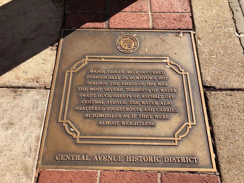
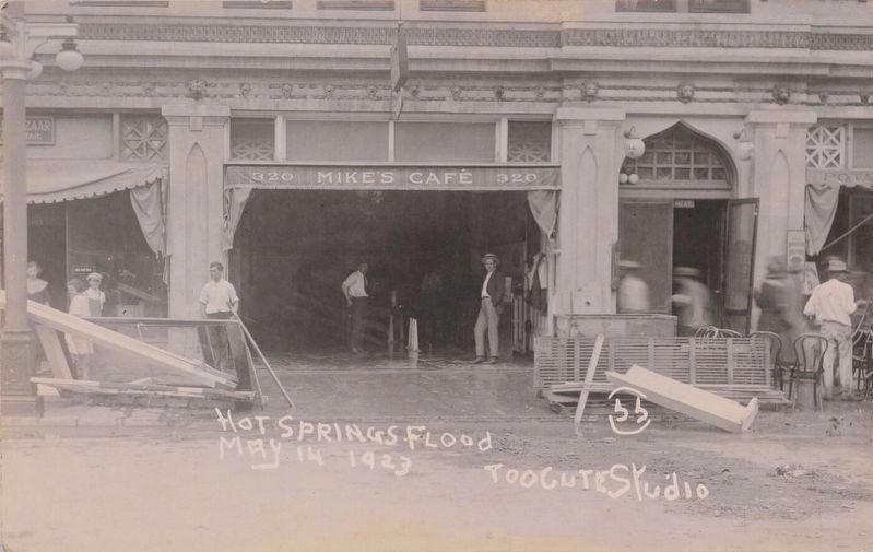
Hot Springs Flood of 1923
— Hot Springs Central Avenue Historic District —
Erected by City of Hot Springs.
Topics. This historical marker is listed in this topic list: Disasters. A significant historical year for this entry is 1923.
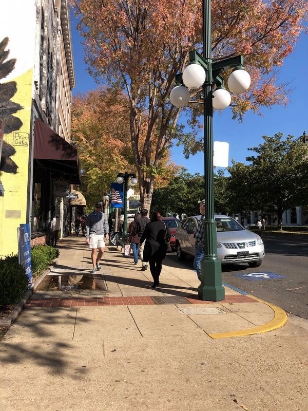
Location. 34° 30.774′ N, 93° 3.244′ W. Marker is in Hot Springs, Arkansas, in Garland County. Marker can be reached from Central Avenue (Arkansas Route 7) north of Bath, on the right when traveling south. Marker is on the sidewalk, by a streetlamp post. Touch for map. Marker is at or near this postal address: 424 Central Ave, Hot Springs National Park AR 71901, United States of America. Touch for directions.
Other nearby markers. At least 8 other markers are within walking distance of this marker. Horse Racing in Hot Springs (within shouting distance of this marker); Ozark Bathhouse (within shouting distance of this marker); The Flynn-Doran Battle (within shouting distance of this marker); Quapaw Bathhouse (within shouting distance of this marker); Hot Springs' Major Fires (within shouting distance of this marker); Bathhouse Row (within shouting distance of this marker); “We Bathe the World” (within shouting distance of this marker); Lamar Bathhouse (within shouting distance of this marker). Touch for a list and map of all markers in Hot Springs.
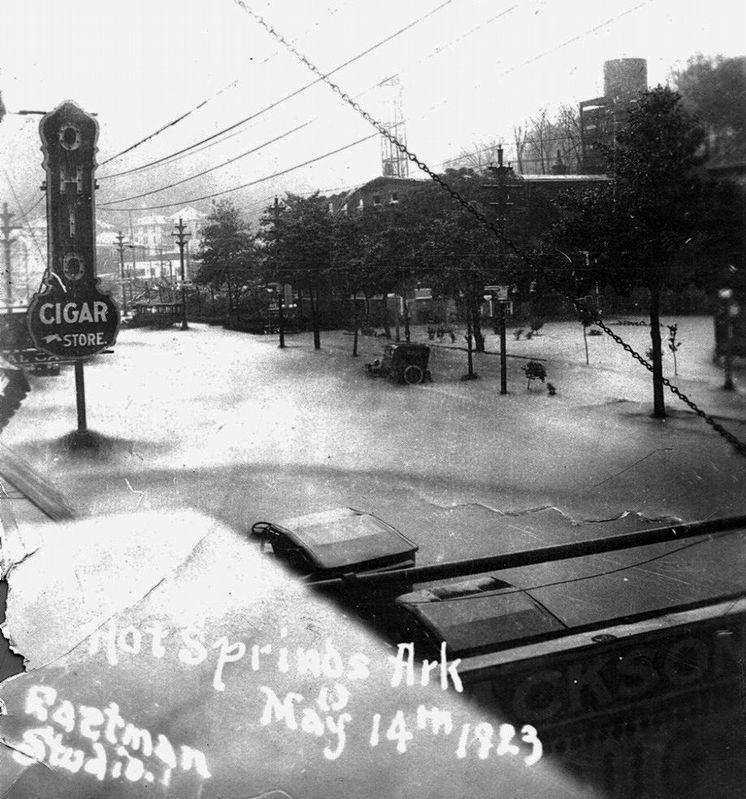
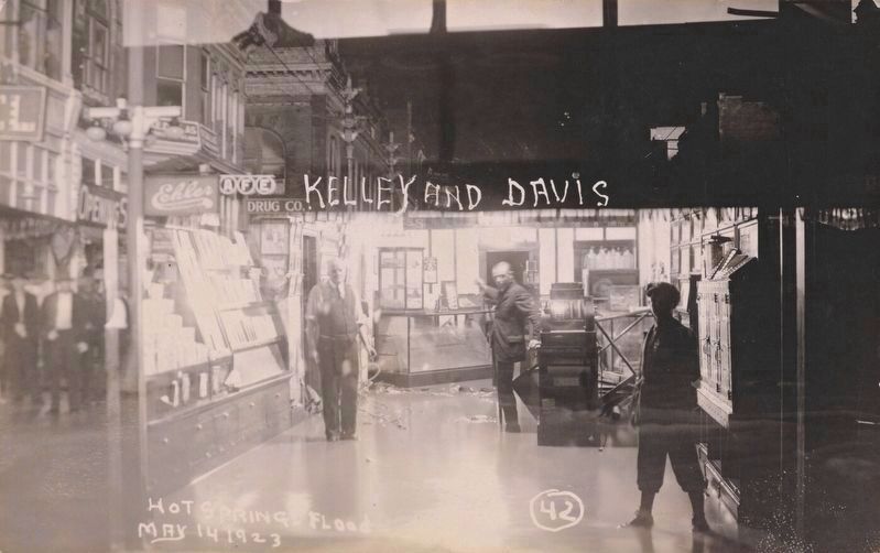
Regarding Hot Springs Flood of 1923. The May 14, 1923 flash flood was the result of more than 10 inches of rain falling on the surrounding mountains in just 24 hours. Up to nine feet of water swept through downtown, which sits on a natural floodplain. The flood wasn't the only disaster in Hot Springs on that late spring day in 1923: A lightning strike sparked a fire that destroyed a commercial block in downtown – just a month after fire had destroyed the second Arlington Hotel, the city's largest. Although the flood/fire caused a combined $2 million in damage (nearly $33 million in 2021 dollars), only one life was lost.
Also see . . . The floods of downtown. Although the 1923 flood is considered the most severe, it hasn't been the only one to damage Hot Springs' downtown. (Clay Farrar, The Sentinel-Record, posted May 29, 2019) (Submitted on November 23, 2022, by Duane and Tracy Marsteller of Murfreesboro, Tennessee.)
Credits. This page was last revised on November 25, 2022. It was originally submitted on November 23, 2022, by Duane and Tracy Marsteller of Murfreesboro, Tennessee. This page has been viewed 279 times since then and 54 times this year. Photos: 1, 2, 3, 4, 5. submitted on November 23, 2022, by Duane and Tracy Marsteller of Murfreesboro, Tennessee.
