Shaw in Northwest Washington in Washington, District of Columbia — The American Northeast (Mid-Atlantic)
The Evolution of a Neighborhood / Shaw, U Street, and Black Culture

Photographed By Devry Becker Jones (CC0), November 24, 2022
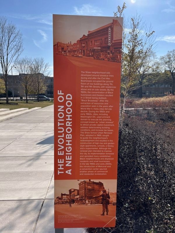
1. The Evolution of a Neighborhood side of the marker
The Evolution of a Neighborhood. The Shaw neighborhood was developed around streetcar lines during and after the Civil War. Businesses occupied the ground floors of row buildings along 7th, 9th and 11th Streets, with residences above and on side streets. By the 1920s, the concentration of Black businesses and theaters resulted in U Street being dubbed "Black Broadway". After the extraction of resources and population seen in the years after World War II, many cities fell into decline. During the 1950s and early 1960s, cities, including Washington DC, used eminent domain to execute the planning concept known as "urban renewal" to attract private capital investment, address deteriorating building conditions, and increase tax bases. The Shaw School Urban Renewal Plan, adopted in 1969, sought to guide the neighborhood's redevelopment and resulted in the construction of high-rise and garden style apartments, schools, a library, and a supermarket. Although the renewal plan intended to improve the city, its implementation removed the uprooted many established Black neighborhoods and displaced residents and small businesses. In the late 1990s and early 2000s, the introduction of Metrorail and a convention center spurred another phase of commercial and residential revitalization.
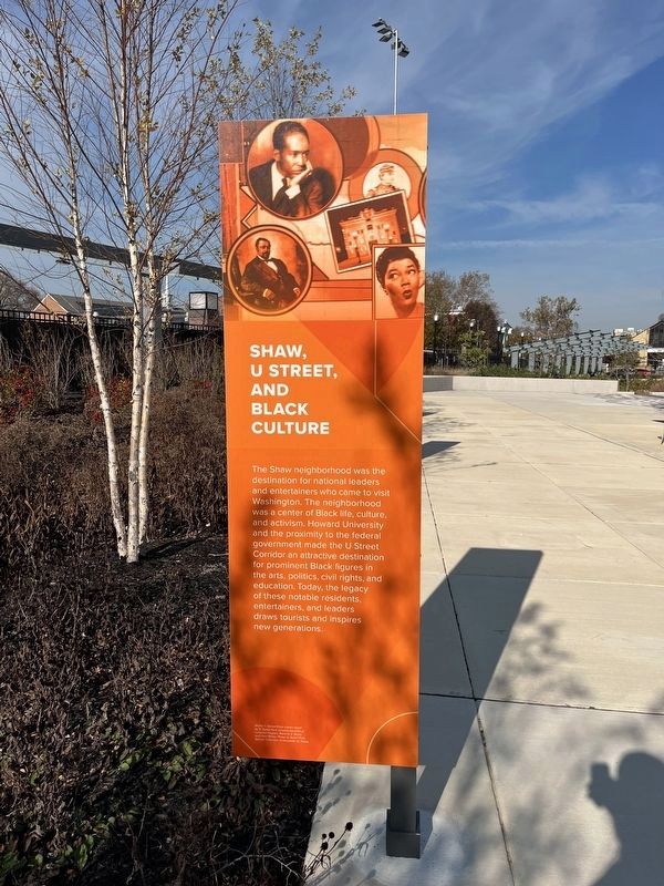
Shaw, U Street, and Black Culture. The Shaw neighborhood was the destination for national leaders and entertainers who came to visit Washington. The neighborhood was a center of Black life, culture, and activism. Howard University and the proximity to the federal government made the U Street Corridor an attractive destination for prominent Black figures in the arts, politics, civil rights, and education. Today, the legacy of these notable residents, entertainers, and leaders draws tourists and inspires new generations.
Topics. This historical marker is listed in these topic lists: African Americans • Industry & Commerce • Railroads & Streetcars • Settlements & Settlers. A significant historical year for this entry is 1969.
Location. 38° 54.699′ N, 77° 1.541′ W. Marker is in Northwest Washington in Washington, District of Columbia. It is in Shaw. Marker is at the intersection of Rhode Island Avenue Northwest (U.S. 29) and 10th Street Northwest, on the right when traveling west on Rhode Island Avenue Northwest. Touch for map. Marker is at or near this postal address: 925 Rhode Island Ave NW, Washington DC 20001, United States of America. Touch for directions.
Other nearby markers. At least 8 other markers are within walking distance of this marker. The Almanac of 1792 / The Naming of a Neighborhood (here, next to this marker); Shaw Junior High School (here, next to this marker); The City & The Stars (a few steps from this marker); Benjamin Banneker Academic High School

Photographed By Devry Becker Jones (CC0), November 24, 2022
2. Shaw, U Street, and Black Culture side of the marker

Photographed By Devry Becker Jones (CC0), November 24, 2022
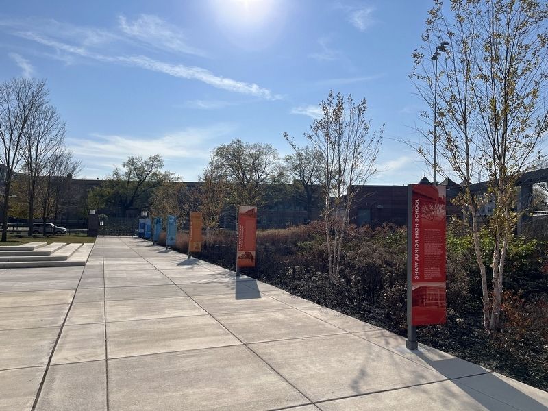
3. Markers on the grounds of Benjamin Banneker Academic High School from the north

Photographed By Devry Becker Jones (CC0), November 24, 2022
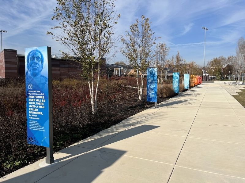
4. Markers on the grounds of Benjamin Banneker Academic High School from the south
Credits. This page was last revised on January 30, 2023. It was originally submitted on November 23, 2022, by Devry Becker Jones of Washington, District of Columbia. This page has been viewed 128 times since then and 39 times this year. Photos: 1, 2, 3, 4. submitted on November 25, 2022, by Devry Becker Jones of Washington, District of Columbia.