Camden in Camden County, North Carolina — The American South (South Atlantic)
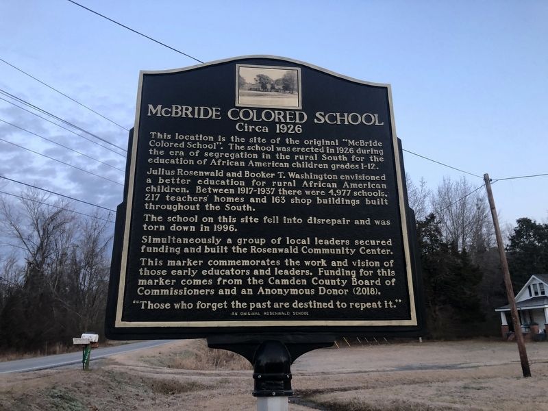
McBride Colored School
Circa 1926
— An Original Rosenwald School —
This location is the site of the original "McBride Colored School". The school was erected in 1926 during the era of segregation in the rural South for the education of African American children grades 1-12.
Julius Rosenwald and Booker T. Washington envisioned a better education for rural African American children. Between 1917-1937 there were 4,977 schools, 217 teachers' homes and 163 shop buildings built throughout the South.
The school on this site fell into disrepair and was torn down in 1996.
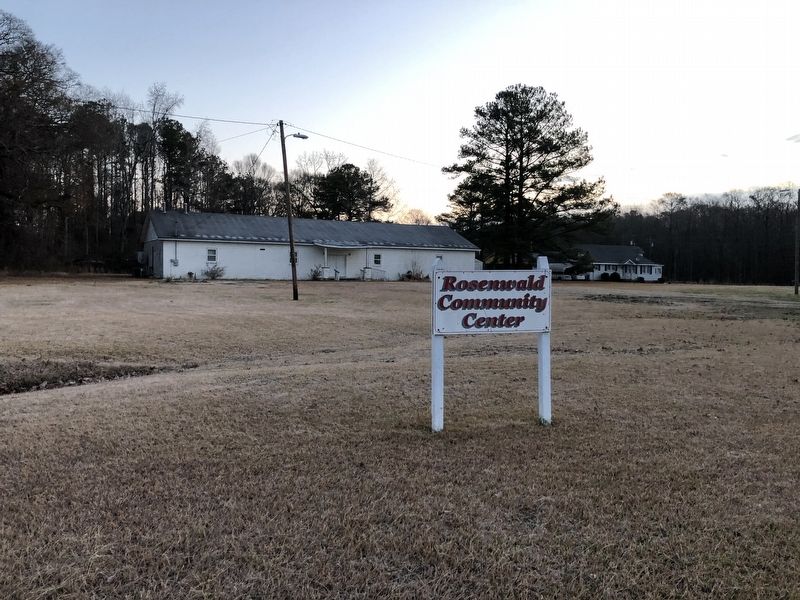
Simultaneously a group of local local leaders secured funding and built the Rosenwald Community Center.
This marker commemorates the work and vision of those early educators and leaders. Funding for this marker comes from the Camden County Board of Commissioners and an Anonymous Donor (2018).
"Those who forget the past are destined to repeat it."
Erected 2018 by The Camden County Board of Commissioners and an Anonymous Donor.
Topics and series. This historical marker is listed in these topic lists: African Americans • Charity & Public Work • Education. In addition, it is included in the Rosenwald Schools series list. A significant historical year for this entry is 1926.
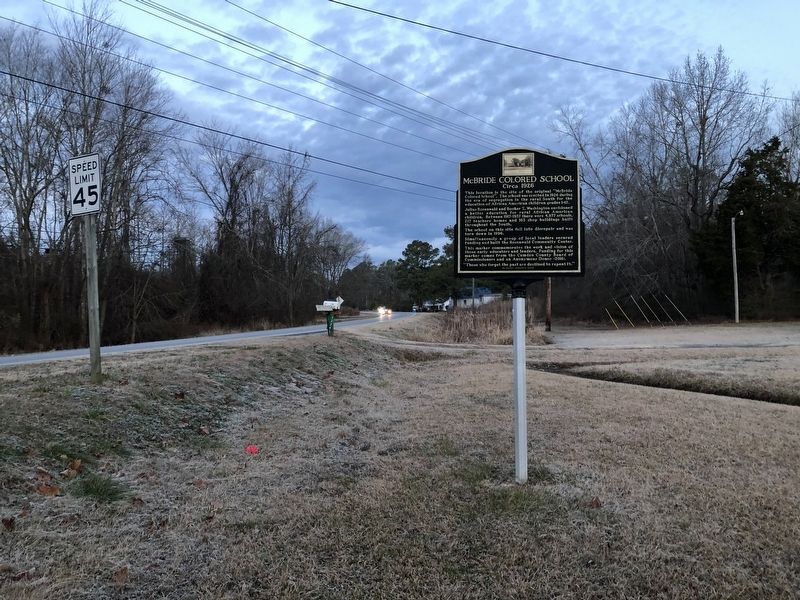
Location. 36° 26.521′ N, 76° 18.892′ W. Marker is in Camden, North Carolina, in Camden County. Marker is on Highway 343, 0.1 miles north of Bunker Hill Road (State Highway 1217), on the right when traveling north. Touch for map. Marker is at or near this postal address: 1334 N Carolina Hwy 343 S, South Mills NC 27976, United States of America. Touch for directions.
Other nearby markers. At least 8 other markers are within 10 miles of this marker, measured as the crow flies. Battle of South Mills (approx. 0.6 miles away); McBride Church (approx. 0.7 miles away); Dismal Swamp Canal (approx. 0.8 miles away); a different marker also named Battle of South Mills (approx. 2 miles away); Eastern North Carolina (approx. 5 miles away); a different marker also named Dismal Swamp Canal (approx. 5 miles away); Seven Patriot Heroes (approx. 9.6 miles away in Virginia); Former Site of Sawyer's Creek / Marian Anderson High School (approx. 9.7 miles away). Touch for a list and map of all markers in Camden.

Photographed By Devry Becker Jones (CC0), January 18, 2021
3. The Rosenwald Community Center sits on the grounds of the old school.
Credits. This page was last revised on November 25, 2022. It was originally submitted on January 20, 2021, by Devry Becker Jones of Washington, District of Columbia. This page has been viewed 288 times since then and 53 times this year. Last updated on November 24, 2022, by Carl Gordon Moore Jr. of North East, Maryland. Photos: 1, 2, 3. submitted on January 20, 2021, by Devry Becker Jones of Washington, District of Columbia. • Bernard Fisher was the editor who published this page.

