Bloomsburg in Columbia County, Pennsylvania — The American Northeast (Mid-Atlantic)
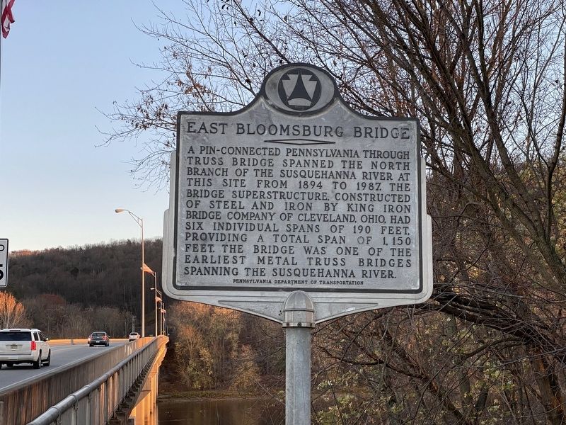
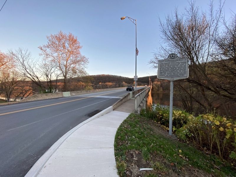
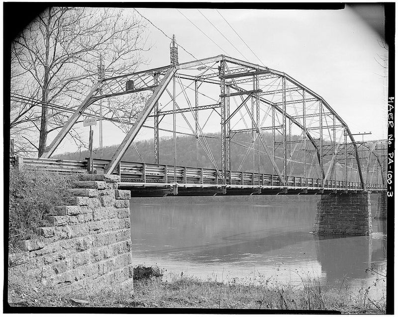
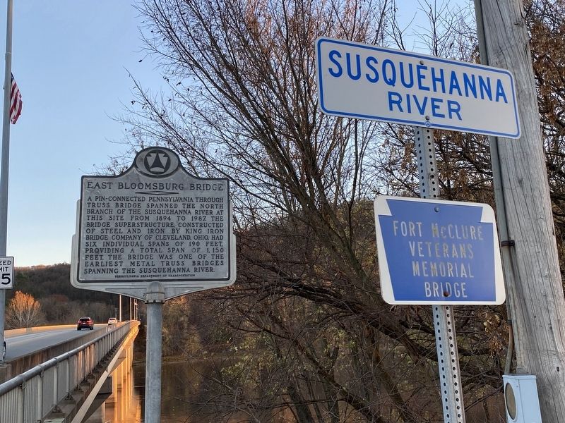
East Bloomsburg Bridge
Erected by Pennsylvania Department of Transportation.
Topics. This historical marker is listed in this topic list: Bridges & Viaducts. A significant historical year for this entry is 1894.
Location. 40° 59.636′ N, 76° 26.431′ W. Marker is in Bloomsburg, Pennsylvania, in Columbia County. Marker is at the intersection of Ferry Road (Pennsylvania Route 487) and Airport Road, on the right when traveling south on Ferry Road. Touch for map. Marker is in this post office area: Bloomsburg PA 17815, United States of America. Touch for directions.
Other nearby markers. At least 8 other markers are within walking distance of this marker. Beth Israel Congregation (approx. 0.8 miles away); Replica of the Statue of Liberty (approx. 0.8 miles away); 445-447 Market Street (approx. 0.9 miles away); 419 Market Street (approx. 0.9 miles away); 401 Market Street (approx. 0.9 miles away); First Presbyterian Church (approx. 0.9 miles away); 325 Market Street (approx. one mile away); 317 Market Street (approx. one mile away). Touch for a list and map of all markers in Bloomsburg.
Also see . . .
1. East Bloomsburg Bridge, Spanning Susquehanna River at Pennsylvania Route 487. Link:
Link to more historical photos of the bridge.(Submitted on November 27, 2022, by J.T. Lambrou of New Boston, Michigan.)
2. East Bloomsburg Bridge. Excerpt:
n August 23, 1892, a group of citizens created a petition requesting that a free county bridge be built across the Susquehanna River in the vicinity of Bloomsburg. The citizens delivered this petition to a nearby court. However, on September 21, 1892, a group of citizens from Catawissa created a petition requesting that the money that was to be used for the East Bloomsburg Bridge would instead be used to build a replacement for the existing bridge in Catawissa, which was in poor condition at the time.(Submitted on November 27, 2022, by J.T. Lambrou of New Boston, Michigan.)
Credits. This page was last revised on November 29, 2022. It was originally submitted on November 27, 2022, by J.T. Lambrou of New Boston, Michigan. This page has been viewed 92 times since then and 18 times this year. Photos: 1, 2, 3, 4. submitted on November 27, 2022, by J.T. Lambrou of New Boston, Michigan. • Bill Pfingsten was the editor who published this page.


