Chamberlain in Sarnia No. 221, Saskatchewan — The Prairie Region (North America)
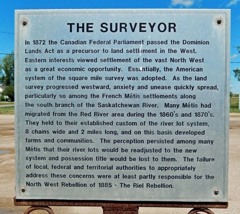
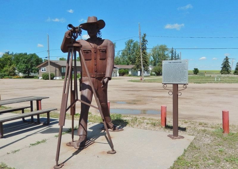
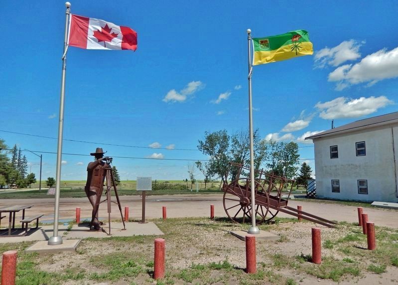
The Surveyor
Topics. This historical marker is listed in this topic list: Settlements & Settlers. A significant historical year for this entry is 1872.
Location. 50° 50.99′ N, 105° 33.884′ W. Marker is in Chamberlain, Saskatchewan, in Sarnia No. 221. Marker is at the intersection of Louis Riel Trail (Provincial Highway 11) and Norfolk Avenue, on the right when traveling north on Louis Riel Trail. Touch for map. Marker is in this post office area: Chamberlain SK S0G 0R0, Canada. Touch for directions.
Also see . . .
1. Dominion Lands Act.
It allowed for lands in Western Canada to be granted to individuals, colonization companies, the Hudson’s Bay Company, railway construction, municipalities and religious groups. The Act also set aside lands for what would become National Parks (1883). The Dominion Lands Act devised specific homestead policies to encourage settlement in the West. Some 1.25 million homesteads were made available over an expanse of about 80 million hectares — the largest survey grid in the world. The Act was repealed in 1930, when lands and resources were transferred from the federal government to the provinces of Manitoba, Saskatchewan and Alberta. From 1870 to 1930, roughly 625,000 land patents were issued to homesteaders. As a result, hundreds of thousands of settlers poured into the region.(Submitted on November 30, 2022, by Cosmos Mariner of Cape Canaveral, Florida.)
2. The North-West Resistance (or North-West Rebellion).
A violent, five-month insurgency against the Canadian government, fought mainly by Métis and their First Nations allies in what is now Saskatchewan and Alberta. It was caused by rising fear and insecurity among the Métis and First Nations peoples as well as the white settlers of the rapidly changing West. A series of battles and other outbreaks of violence in 1885 left hundreds of people dead, but the resisters were eventually defeated by federal troops. The result was the permanent enforcement of Canadian law in the West, the subjugation of Plains Indigenous Peoples in Canada, and the conviction and hanging of Louis Riel.(Submitted on November 30, 2022, by Cosmos Mariner of Cape Canaveral, Florida.)
Credits. This page was last revised on November 30, 2022. It was originally submitted on November 30, 2022, by Cosmos Mariner of Cape Canaveral, Florida. This page has been viewed 63 times since then and 5 times this year. Photos: 1, 2, 3. submitted on November 30, 2022, by Cosmos Mariner of Cape Canaveral, Florida.


