Sterling in Worcester County, Massachusetts — The American Northeast (New England)
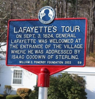
Lafayette’s Tour
Mapping the Farewell Tour™
— The Lafayette Trail —
Erected 2022 by William G. Pomeroy Foundation. (Marker Number 59.)
Topics and series. This historical marker is listed in this topic list: Patriots & Patriotism. In addition, it is included in the Lafayette’s Farewell Tour, and the William G. Pomeroy Foundation series lists. A significant historical date for this entry is September 3, 1824.
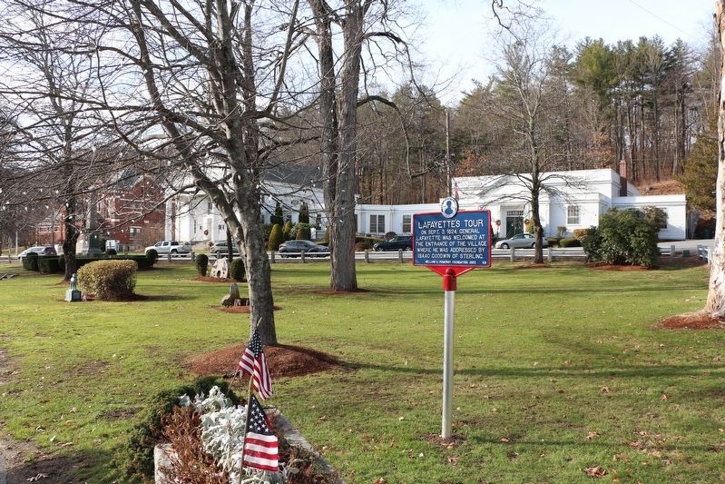
Location. 42° 26.269′ N, 71° 45.625′ W. Marker is in Sterling, Massachusetts, in Worcester County. Marker is at the intersection of Main Street (Massachusetts Route 12/62) and Park Street, on the right when traveling north on Main Street. Located at the NE corner of the Sterling Town Common. Touch for map. Marker is in this post office area: Sterling MA 01564, United States of America. Touch for directions.
Other nearby markers. At least 8 other markers are within 5 miles of this marker, measured as the crow flies. "Mary Had a Little Lamb" (within shouting distance of this marker); Mary Sawyer’s Birthplace (approx. 1.3 miles away); Lancaster (approx. 2.2 miles away); Rowlandson Rock (approx. 3.1 miles away); a different marker also named Rowlandson Rock (approx. 3.8 miles away); Prescott Grist Mill (approx. 4 miles away); Sawyer-Carter Bridge (approx. 4 miles away); Wickapickit Brook and Bridge (approx. 4.2 miles away). Touch for a list and map of all markers in Sterling.
More about this marker. The marker faces both Main Street and Meetinghouse Hill Road near the intersection of Park Street. The Town common is bound by these three roads. The Lafayette Tour marker is a few steps from the "Mary had a Little Lamb" marker/statue and the Sterling Civil War Monument.
Credits. This page was last revised on January 27, 2024. It was originally submitted on December 1, 2022, by Stephen St. Denis of Worcester, Massachusetts. This page has been viewed 221 times since then and 55 times this year. Photos: 1, 2. submitted on December 1, 2022, by Stephen St. Denis of Worcester, Massachusetts. • Bill Pfingsten was the editor who published this page.

