Battleford in Battle River No. 438, Saskatchewan — The Prairie Region (North America)
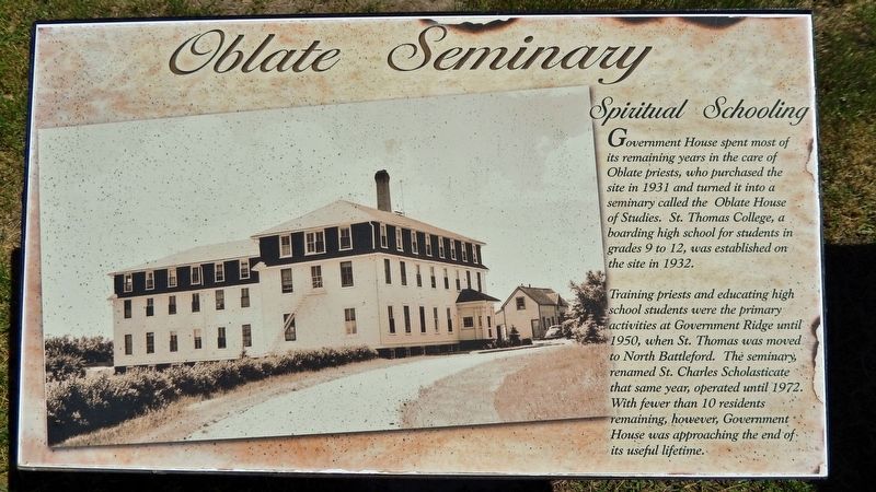
Oblate Seminary
Spiritual Schooling
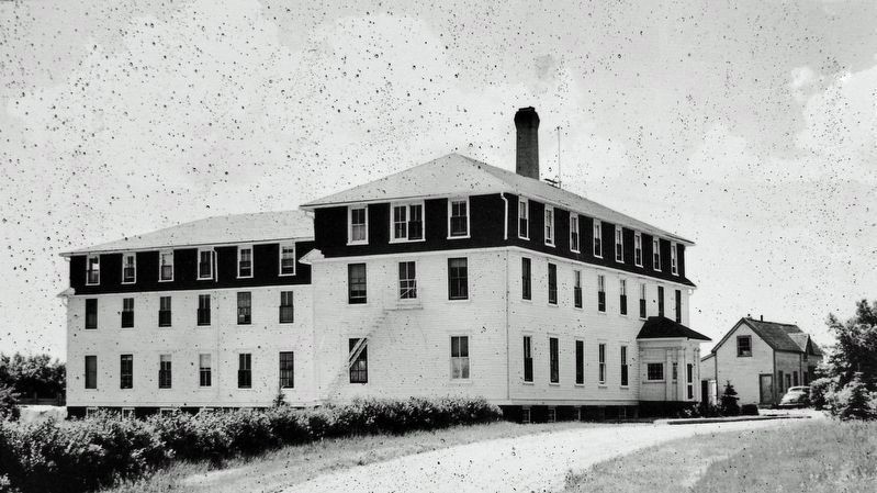
Government House spent most of its remaining years in the care of Oblate priests, who purchased the site in 1931 and turned it into a seminary called the Oblate House of Studies. St. Thomas College, a boarding high school for students in grades 9 to 12, was established on the site in 1932.
Training priests and educating high school students were the primary activities at Government Ridge until 1950, when St. Thomas was moved to North Battleford. The seminary, renamed St. Charles Scholasticate that same year, operated until 1972. With fewer than 10 residents remaining, however, Government House was approaching the end of its useful lifetime.
Topics. This historical marker is listed in these topic lists: Churches & Religion • Education. A significant historical year for this entry is 1931.
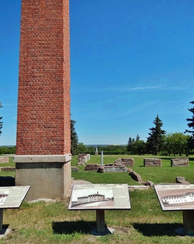
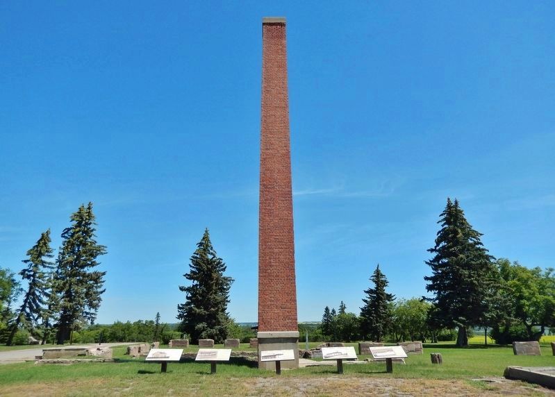
Location. 52° 42.702′ N, 108° 18.506′ W. Marker is in Battleford, Saskatchewan, in Battle River No. 438. Marker can be reached from 3 Avenue West, half a kilometer south of Old Saskatchewan Highway 4 (Provincial Highway 658), on the left when traveling south. Marker is located beside the chimney at the Old Government House Site. It is 2nd from the right of 5 related markers at this location. Touch for map. Marker is in this post office area: Battleford SK S0M 0E0, Canada. Touch for directions.
Other nearby markers. At least 8 other markers are within walking distance of this marker. The End of an Era (here, next to this marker); Seventh Day Adventists Academy (here, next to this marker); Indian Industrial School (here, next to this marker); Government House (here, next to this marker); Government House Battleford (within shouting distance of this marker); Government House, Battleford (within shouting distance of this marker); Seat of the Territorial Government 1878-1883 (within shouting distance of this marker); Battleford Land Registry Building (approx. 0.6 kilometers away). Touch for a list and map of all markers in Battleford.
Regarding Oblate Seminary. Canadian Register of Historic Places, (1984/03/27).
Related markers. Click here for a list of markers that are related to this marker. Old Government House, Battleford, Saskatchewan
Also see . . .
1. Battleford Industrial School.
From 1932 to 1972 it was the Oblate House of Studies and the St. Charles Scholasticate (seminary) which closed in 1972. The Oblates left the building in 1984. Old Government House was designated a national historic site of Canada in 1973.(Submitted on December 5, 2022, by Cosmos Mariner of Cape Canaveral, Florida.)
2. Old Government House / Saint-Charles Scholasticate National Historic Site of Canada.
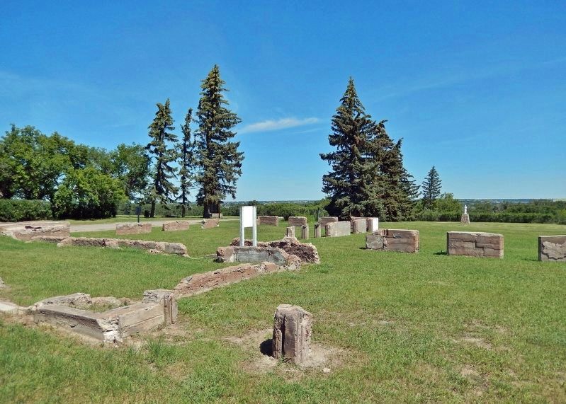
The building was destroyed by fire in 2003 and the site now consists of a grassy plateau with archaeological remains of the former structure. It overlooks the vast valley of the Saskatchewan and Battle rivers. The designation refers to the site, defined as the property at the time of designation (1973).(Submitted on December 5, 2022, by Cosmos Mariner of Cape Canaveral, Florida.)
Credits. This page was last revised on December 5, 2022. It was originally submitted on December 4, 2022, by Cosmos Mariner of Cape Canaveral, Florida. This page has been viewed 165 times since then and 47 times this year. Photos: 1, 2, 3, 4, 5. submitted on December 5, 2022, by Cosmos Mariner of Cape Canaveral, Florida.
