Battleford in Battle River No. 438, Saskatchewan — The Prairie Region (North America)
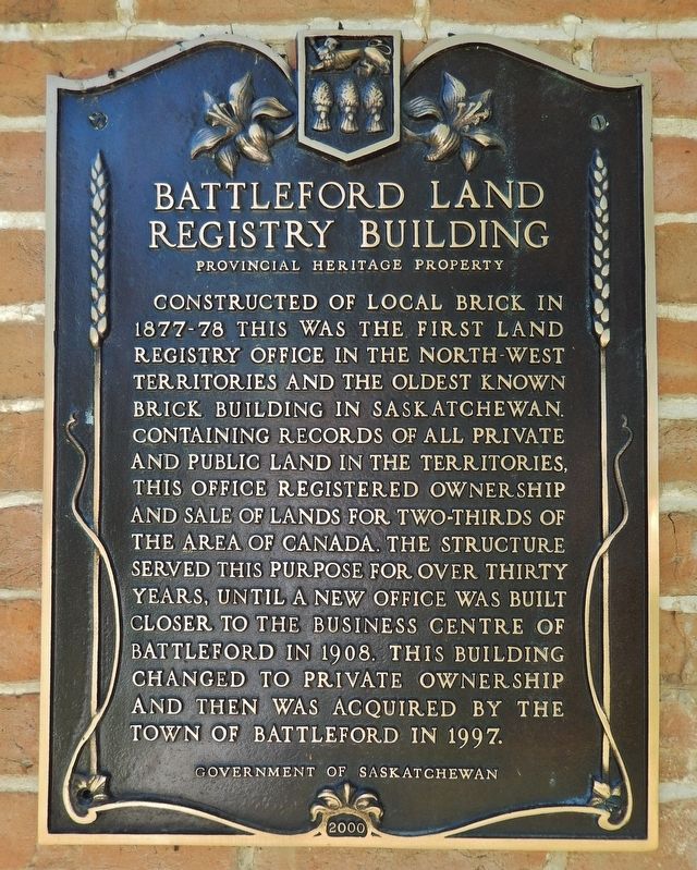
Battleford Land Registry Building
Provincial Heritage Property
Erected 2000 by Government of Saskatchewan.
Topics. This historical marker is listed in these topic lists: Architecture • Industry & Commerce • Notable Buildings • Settlements & Settlers. A significant historical year for this entry is 1877.
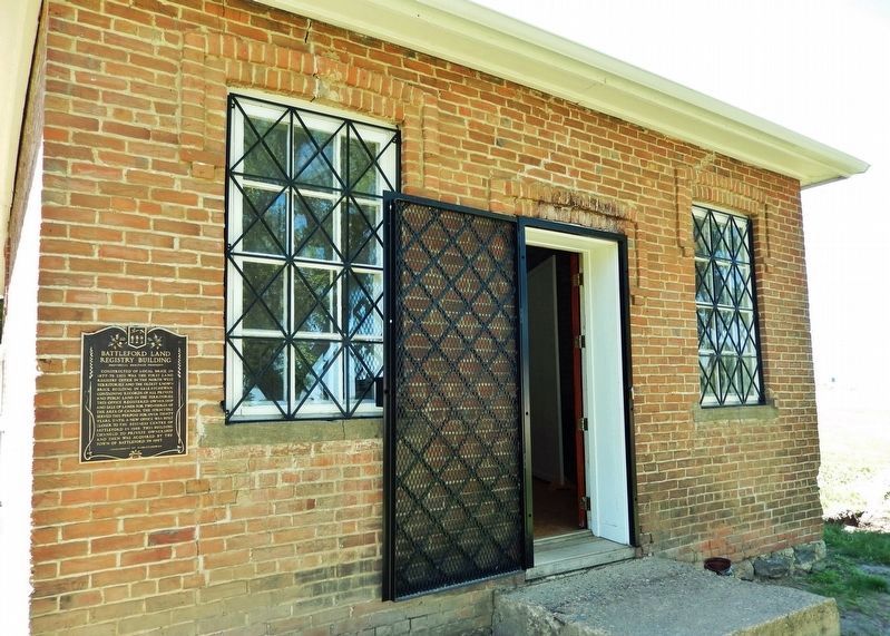
Location. 52° 42.871′ N, 108° 18.94′ W. Marker is in Battleford, Saskatchewan, in Battle River No. 438. Marker is on Old Saskatchewan Highway 4 (Provincial Highway 658) 1.1 kilometers west of Provincial Highway 4, on the left when traveling west. Marker is mounted at eye-level at the southeast corner of the subject building. Touch for map. Marker is in this post office area: Battleford SK S0M 0E0, Canada. Touch for directions.
Other nearby markers. At least 8 other markers are within walking distance of this marker. Land Registry Office (here, next to this marker); Seat of the Territorial Government 1878-1883 (approx. 0.6 kilometers away); Government House, Battleford (approx. 0.6 kilometers away); Government House Battleford (approx. 0.6 kilometers away); a different marker also named Government House (approx. 0.6 kilometers away); Indian Industrial School (approx. 0.6 kilometers away); Seventh Day Adventists Academy (approx. 0.6 kilometers away); Oblate Seminary (approx. 0.6 kilometers away). Touch for a list and map of all markers in Battleford.
Regarding Battleford Land Registry Building. Canadian Register of Historic Places (2005/01/31).
Also see . . .
1. Land Title Registry Office & Museum.
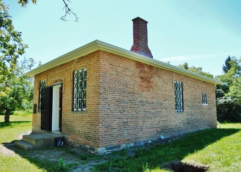
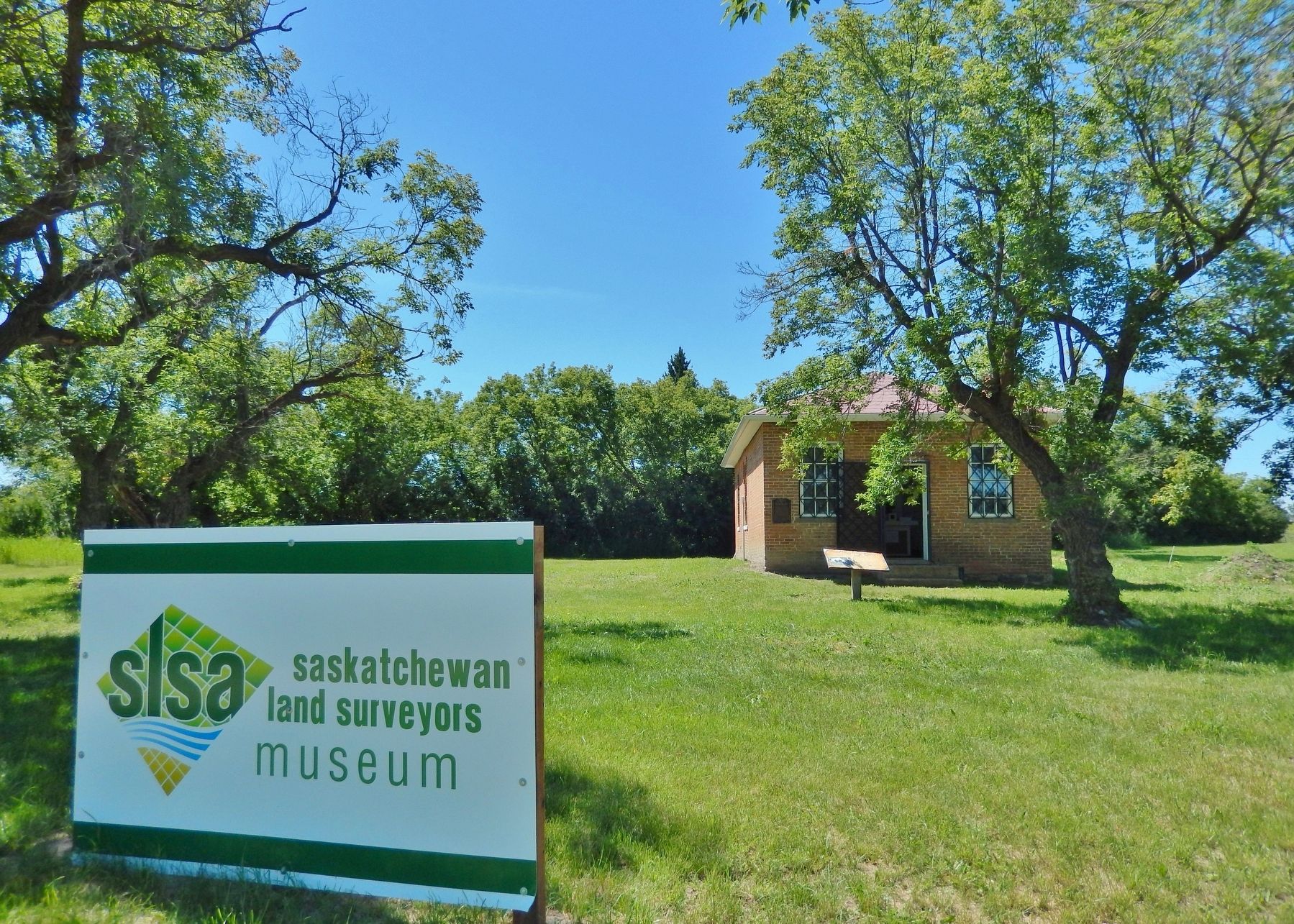
The first known and oldest standing brick building in Saskatchewan. It served as the Land Titles Office, housing all land deeds in the area when Battleford was the capital of the Northwest Territories, until 1907. Between the years of 1907 to 1917 it had been sold to Henry Felix Smart and used as a private residence. In 1955 the residence had been sold to Clinton Greenwood. It was designated a Provincial Heritage Property in 1983. The Saskatchewan Land Surveyors Association is now operating a museum out of the building.(Submitted on December 5, 2022, by Cosmos Mariner of Cape Canaveral, Florida.)
2. Battleford Land Registry Office.
Built from brick manufactured on-site specifically for use in this building and other nearby Territorial Government structures, the 1½-foot thick brick walls and the metal roof created a nearly fireproof building. This factor was fundamental to the protection of the irreplaceable land registration documents and attested to the value that the government placed on official land holding records. The brick also contributes to the Georgian style of architecture that is reflected in the Land Registry Office. With its minimal exterior detailing, symmetrical façade, and hipped roof, the only detailing on the building are the brick corbels above the doors and windows.(Submitted on December 5, 2022, by Cosmos Mariner of Cape Canaveral, Florida.)
Credits. This page was last revised on December 5, 2022. It was originally submitted on December 5, 2022, by Cosmos Mariner of Cape Canaveral, Florida. This page has been viewed 73 times since then and 8 times this year. Photos: 1, 2, 3, 4. submitted on December 5, 2022, by Cosmos Mariner of Cape Canaveral, Florida.


