Downtown in Lincoln in Lancaster County, Nebraska — The American Midwest (Upper Plains)
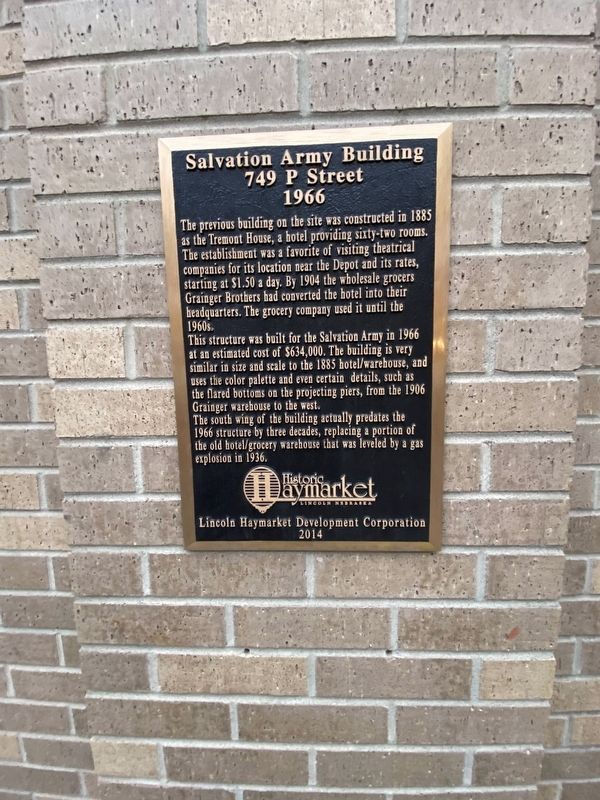
Salvation Army Building
749 P Street
— 1966 —
The previous building on the site was constructed in 1885 as the Tremont House, a hotel providing sixty-two rooms. The establishment was a favorite of visiting theatrical companies for its location near the Depot and its rates, starting at $1.50 a day. By 1904 the wholesale grocers Grainger Brothers had converted the hotel into their headquarters. The grocery company used it until the 1960s.
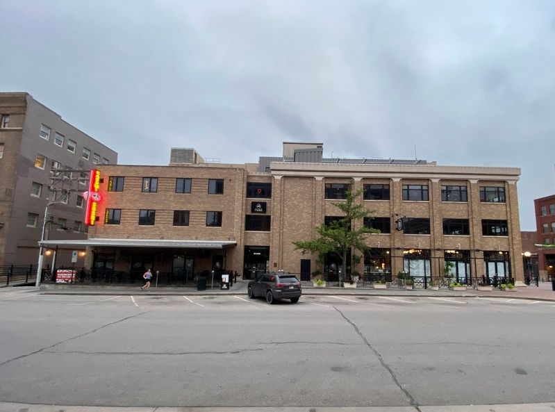
This structure was built for the Salvation Army in 1966 at an estimated cost of $634,000. The building is very similar in size and scale to the 1885 hotel/warehouse, and uses the color palette and even certain details, such as the flared bottoms on the projecting piers, from the 1906 Grainger warehouse to the west.
The south wing of the building actually predates the 1966 structure by three decades, replacing a portion of the old hotel/grocery warehouse that was leveled by a gas explosion in 1936.
Erected 2014 by Lincoln Haymarket Development Corporation.
Topics. This historical marker is listed in these topic lists: Charity & Public Work • Industry & Commerce. A significant historical year for this entry is 1885.
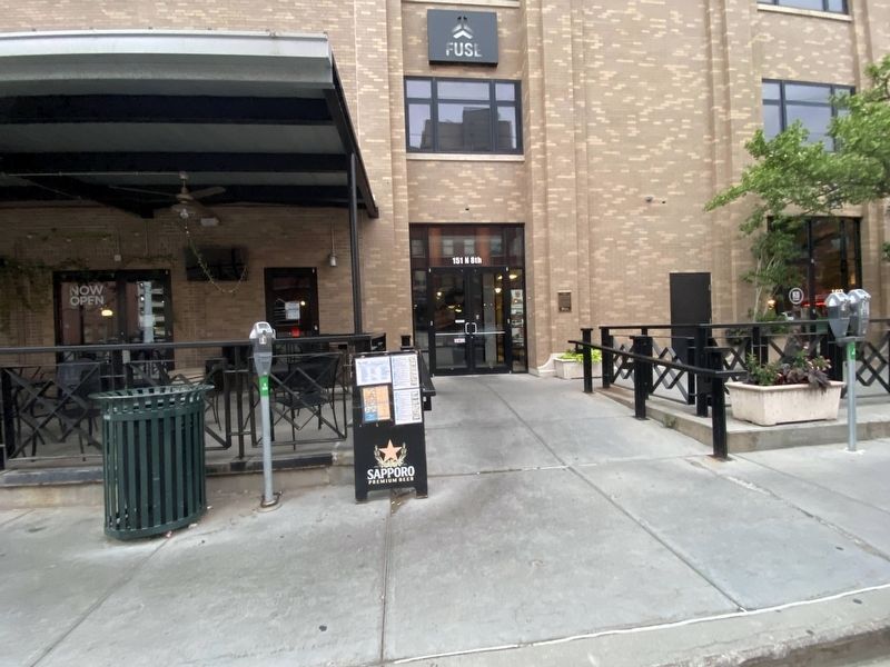
Location. 40° 48.866′ N, 96° 42.6′ W. Marker is in Lincoln, Nebraska, in Lancaster County. It is in Downtown. Marker is on North 8th Street near P Street. Touch for map. Marker is at or near this postal address: 151 North 8th Street, Lincoln NE 68501, United States of America. Touch for directions.
Other nearby markers. At least 8 other markers are within walking distance of this marker. Lincoln Drug Company Building (within shouting distance of this marker); Stacy Brothers Building (within shouting distance of this marker); Harpham Building (within shouting distance of this marker); Veith Building (within shouting distance of this marker); Ridnour Building (within shouting distance of this marker); Old Woods Bros. Companies Building (within shouting distance of this marker); Beatrice Creamery Building (about 300 feet away, measured in a direct line); Lincoln Fixture Building (about 300 feet away). Touch for a list and map of all markers in Lincoln.
Credits. This page was last revised on February 16, 2023. It was originally submitted on December 8, 2022, by J.T. Lambrou of New Boston, Michigan. This page has been viewed 114 times since then and 20 times this year. Photos: 1, 2, 3. submitted on December 8, 2022, by J.T. Lambrou of New Boston, Michigan. • J. Makali Bruton was the editor who published this page.


