Bluff Dale in Erath County, Texas — The American South (West South Central)
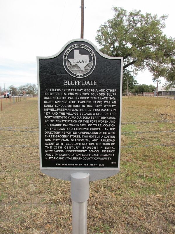
Bluff Dale
Settlers from Ellijay, Georgia, and other southern U.S. communities founded Bluff Dale near the Paluxy River in the late 1860's. Bluff Springs (the earlier name) was an early school district in 1867. Capt. Wesley Newell Freeman was the first postmaster in 1877, and the village became a stop on the Fort Worth to Yuma (Arizona Territory) mail route. Construction of the Fort Worth and Rio Grande Railway in 1889 led to relocation of the town and economic growth. An 1895 Directory reported a population of 800 with three grocery stores, two hotels, a cotton gin, physician, blacksmith and railroad agent with telegraph station. the turn of the 20th century brought a bank, newspaper, independent school district and city incorporation. Bluff Dale remains a historic and vital Erath community.
Erected 2019 by Texas Historical Commission. (Marker Number 22510.)
Topics. This historical marker is listed in this topic list: Settlements & Settlers.
Location. 32° 21.023′ N, 98° 1.691′ W. Marker is in Bluff Dale, Texas, in Erath County. Marker is at the intersection of U.S. 377 and Church Street, on the left when traveling west on U.S. 377. Touch for map. Marker is in this post office area: Bluff Dale TX 76433, United States of America. Touch for directions.
Other nearby markers. At least 8 other markers are within 14 miles of this marker, measured as the crow flies. The Bluff Dale Suspension Bridge (approx. ¼ mile away); The Denny Cemetery (approx. 1.1 miles away); Wesley Chapel Cemetery (approx. 1.6 miles away); Morgan Mill Tabernacle (approx. 8.6 miles away); a different marker also named Morgan Mill Tabernacle (approx. 8.6 miles away); Morgan Mill Cemetery (approx. 8.6 miles away); The Colony Cemetery (approx. 11.3 miles away); Stephenville Church (approx. 13.3 miles away). Touch for a list and map of all markers in Bluff Dale.
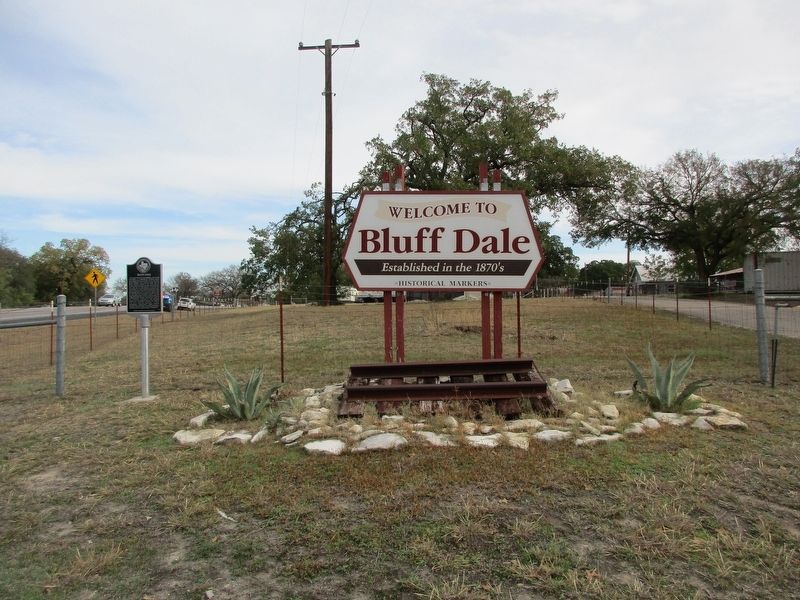
More about this marker. The marker is next to the western Bluff Dale welcome sign.
Credits. This page was last revised on December 13, 2022. It was originally submitted on December 8, 2022, by Jeff Leichsenring of Garland, Texas. This page has been viewed 184 times since then and 59 times this year. Photos: 1, 2. submitted on December 8, 2022, by Jeff Leichsenring of Garland, Texas. • J. Makali Bruton was the editor who published this page.

