Alto in Cherokee County, Texas — The American South (West South Central)
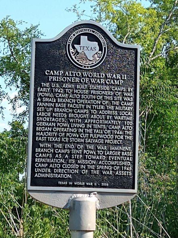
Camp Alto, World War II Prisoner of War Camp
Inscription.
The U.S. Army built stateside camps by early 1942 to house prisoners of war (POWs). Camp Alto south of this site was a small branch operation of the Camp Fannin base facility in Tyler. The military set up branch camps to address local labor needs brought about by wartime shortages. With approximately 100 German POWs living in tents, Camp Alto began operating in the fall of 1944. The majority of POWs cut pulpwood for the East Texas ice storm salvage project. With the end of the war imminent, branch camps sent POWs to larger base camps as a step toward eventual repatriation. Its mission accomplished, Camp Alto closed in the spring of 1945 under direction of the War Assets Administration. Texas in World War II
Erected 2006 by Texas Historical Commission. (Marker Number 13703.)
Topics. This historical marker is listed in this topic list: War, World II.
Location. 31° 39.023′ N, 95° 5.564′ W. Marker is in Alto, Texas, in Cherokee County. Marker is on State Highway 294, 0.9 miles State Highway 21. Touch for map. Marker is in this post office area: Alto TX 75925, United States of America. Touch for directions.
Other nearby markers. At least 8 other markers are within 4 miles of this marker, measured as the crow flies. Site of the Delaware Indian Village (approx. 0.9 miles away); Stella Salmon Hill (approx. one mile away); Robert F. Mitchell (approx. 1.1 miles away); Site of Lacy's Fort (approx. 1.1 miles away); Kings Highway Camino Real — Old San Antonio Road (approx. 1.2 miles away); A. Frank Smith United Methodist Church (approx. 1.2 miles away); Chief Bowles' Last Homesite (approx. 2.2 miles away); a different marker also named Kings Highway Camino Real — Old San Antonio Road (approx. 3.2 miles away). Touch for a list and map of all markers in Alto.
Credits. This page was last revised on December 13, 2022. It was originally submitted on December 8, 2022, by Jeff Leichsenring of Garland, Texas. This page has been viewed 243 times since then and 45 times this year. Photo 1. submitted on December 8, 2022, by Jeff Leichsenring of Garland, Texas. • J. Makali Bruton was the editor who published this page.
