Santa Cruz in Santa Cruz County, California — The American West (Pacific Coastal)
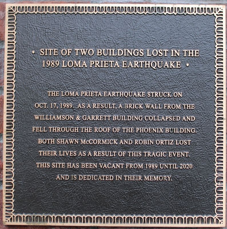
Site of Two Buildings Lost in the 1989 Loma Prieta Earthquake
Inscription.
The Loma Prieta Earthquake struck on Oct. 17, 1989. As a result, a brick wall from the Williamson & Garrett Building collapsed and fell through the roof of the Phoenix Building. Both Shawn McCormick and Robin Ortiz lost their lives as a result of this tragic event. This site has been vacant from 1989 until 2020 and is dedicated in their memory.
Topics. This historical marker is listed in this topic list: Disasters. A significant historical date for this entry is October 17, 1989.
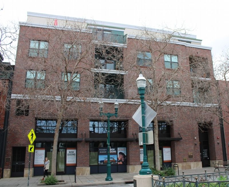
Location. 36° 58.585′ N, 122° 1.622′ W. Marker is in Santa Cruz, California, in Santa Cruz County. Marker is on Pacific Avenue near Front Street, on the right when traveling south. The plaque is mounted to the left side of the building. Touch for map. Marker is at or near this postal address: 1547 Pacific Avenue, Santa Cruz CA 95060, United States of America. Touch for directions.
Other nearby markers. At least 8 other markers are within walking distance of this marker. Alfred Baldwin's Building (here, next to this marker); a different marker also named Site of Two Buildings Lost in the 1989 Loma Prieta Earthquake (a few steps from this marker); Santa Cruz County World War Memorial (within shouting distance of this marker); Santa Cruz Main Post Office (within shouting distance of this marker); St. George Building (within shouting distance of this marker); St. George Hotel (within shouting distance of this marker); Town Clock (within shouting distance of this marker); People's Bank (about 400 feet away, measured in a direct line). Touch for a list and map of all markers in Santa Cruz.
Credits. This page was last revised on December 10, 2022. It was originally submitted on December 10, 2022, by Joseph Alvarado of Livermore, California. This page has been viewed 95 times since then and 9 times this year. Photos: 1, 2. submitted on December 10, 2022, by Joseph Alvarado of Livermore, California.

