Port Huron in St. Clair County, Michigan — The American Midwest (Great Lakes)
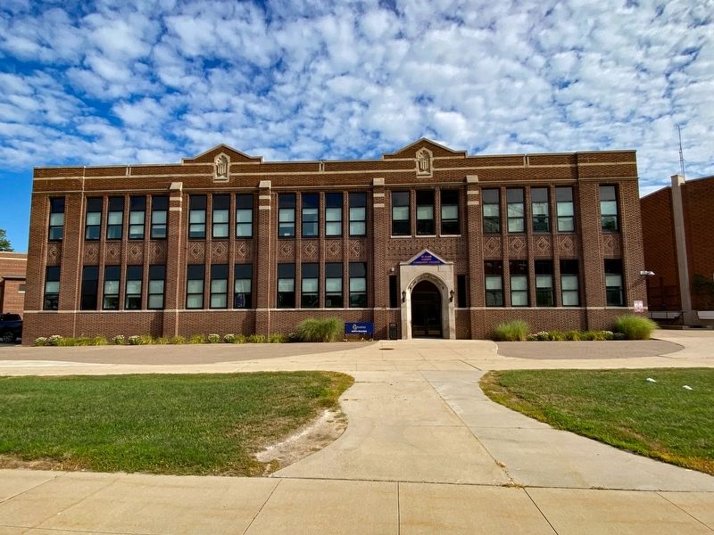
Port Huron High School
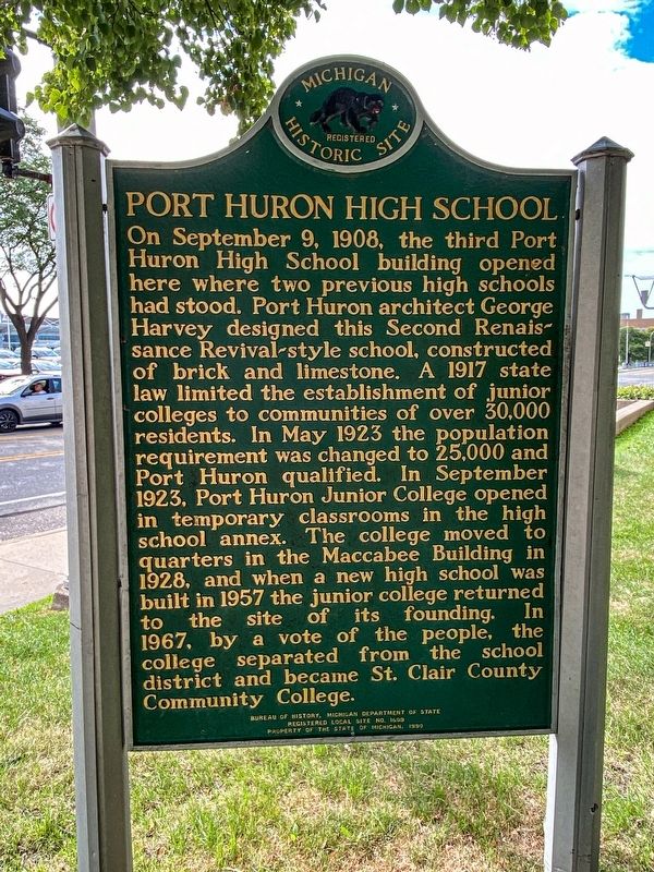
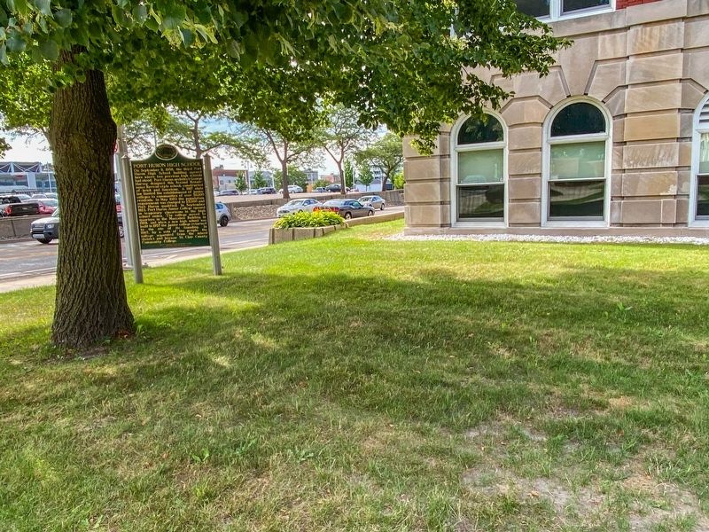
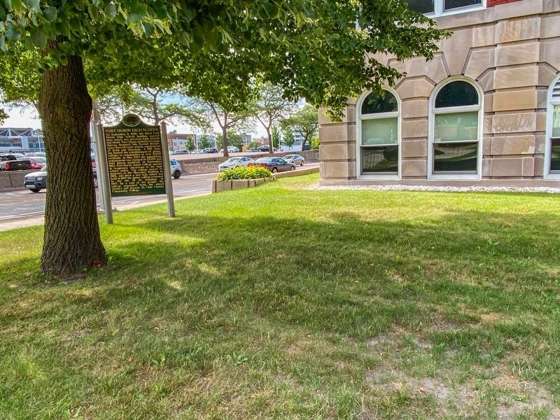
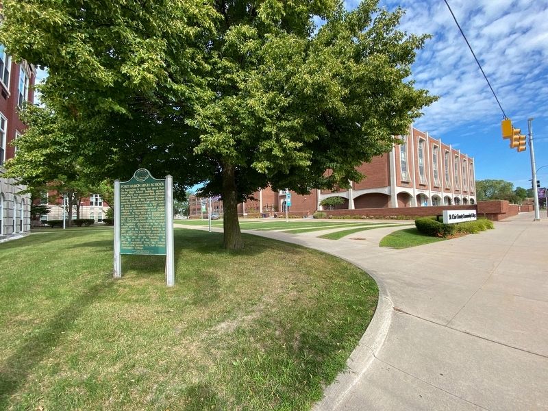
On September 9, 1908, the third Port Huron High School building opened here, where two previous high schools had stood. Port Huron architect George Harvey designed this Second Renaissance Revival-style school, constructed of brick and limestone. A 1917 state law limited the establishment of junior colleges to communities of over thirty thousand residents. In May 1923 the population requirement was changed to twenty- five thousand and Port Huron qualified. In September 1923 Port Huron Junior College opened in temporary classrooms in the high school annex. The college moved to quarters in the Maccabee Building in 1928, and when a new high school was built in 1957 the junior college returned to the site of its founding. In 1967, by a vote of the people, the college separated from the school district and became St. Clair County Community College.
Erected 1990 by Bureau of History, Michigan Department of State. (Marker Number L1609.)
Topics and series. This historical marker is listed in this topic list: Education. In addition, it is included in the Michigan Historical Commission series list. A significant historical month for this entry is May 1923.
Location. 42° 58.707′ N, 82° 25.65′ W. Marker is in Port Huron, Michigan, in St. Clair County. Marker is at the intersection of Erie Street and McMorran Boulevard, on the right when traveling south on Erie Street. Touch for map. Marker is at or near this postal address: 323 Erie Street, Port Huron MI 48060, United States of America. Touch for directions.
Other nearby markers. At least 8 other markers are within walking distance of this marker. Civil War Memorial (approx. ¼ mile away); Customhouse (approx. ¼ mile away); Intersection of Military Road and Indian Reservation (approx. 0.3 miles away); Port Huron to Mackinac Race / Yacht Clubs and World War II (approx. 0.3 miles away); Commerce & Catastrophe (approx. 0.3 miles away); St. John's United Church of Christ (approx. 0.3 miles away); a different marker also named St. John’s United Church of Christ (approx. 0.3 miles away); Admiralty Anchor (approx. 0.4 miles away). Touch for a list and map of all markers in Port Huron.
Credits. This page was last revised on December 22, 2022. It was originally submitted on December 16, 2022, by J.T. Lambrou of New Boston, Michigan. This page has been viewed 118 times since then and 23 times this year. Photos: 1, 2, 3, 4, 5. submitted on December 16, 2022, by J.T. Lambrou of New Boston, Michigan. • J. Makali Bruton was the editor who published this page.
