Ocracoke in Hyde County, North Carolina — The American South (South Atlantic)
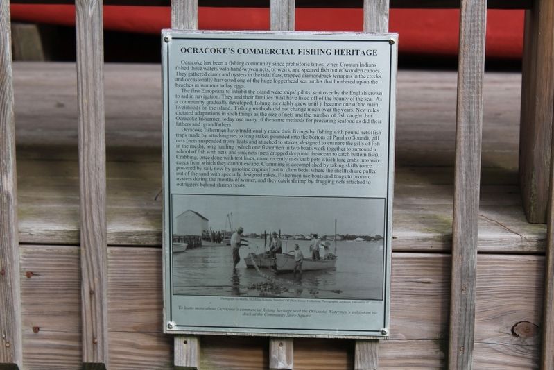
Ocracoke’s Commercial Fishing Heritage
The first Europeans to inhabit the island were ships’ pilots, send over by the English crown to aid in navigation. They and their families must have lived off the bounty of the sea. As a community gradually developed, fishing inevitably grew until it became one of the main livelihoods on the island. Fishing methods did not change much over the years. New rules dictated adaptions in such things as the size of nets and the number of fish caught, but Ocracoke fisherman today use may of the same methods for procuring seafood as did their fathers and grandfathers.
Ocracoke fishermen have traditionally made their livings by fishing with pound nets (fish traps made by attaching net to long stakes pounded into the bottom of Pamlico Sound), gill nets (nets suspended from floats and attached to stakes, designed to ensnare the gills of fish in the mesh), long hauling (which one fishermen in two boats work together to surround a school of fish with net), and sink nets (nets dropped deep into the ocean to catch bottom fish). Crabbing, once done with trot lines, ore recently uses crab pots which lure crabs into wire cages from which they cannot escape. Clamming is accomplished by taking skiffs (once powered by sail, now by gasoline engines) out to clam beds, where the shellfish are pulled out of the sand with specially designed rakes. Fishermen use boats and tongs to procure oysters during the months of winter, and they catch shrimp by dragging nets attached to outriggers behind shrimp boats.
(caption) To learn more about Ocracoke’s commercial fishing heritage visit the Ocracoke Watermen’s exhibit on the dock at the Community Store Square. Photograph by Martha MacMillan Roberts, Standard Oil (New Jersey) Collection, Photographic Archives, University of Louisville.
Erected by Ocracoke Preservation Society Museum.
Topics. This historical marker is listed in this topic list: Industry & Commerce.
Location. 35° 7.011′ N, 75° 59.077′ W. Marker is in Ocracoke, North Carolina, in Hyde County. Marker can be reached from NPS Road near Water Plant Road, on the left when traveling north. Marker located on the grounds of the Ocracoke Preservation Society Museum. Touch for map
. Marker is at or near this postal address: 49 Water Plant Rd, Ocracoke NC 27960, United States of America. Touch for directions.
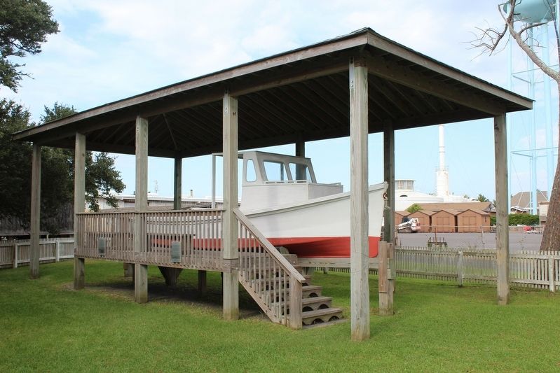
Other nearby markers. At least 8 other markers are within walking distance of this marker. The Blanche (here, next to this marker); Late 19th Century Cistern (a few steps from this marker); Ocracoke Windmills (within shouting distance of this marker); Welcome to Ocracoke… (within shouting distance of this marker); Ship's Rudder (within shouting distance of this marker); USRC Mercury (about 400 feet away, measured in a direct line); Lt. Robert Maynard (about 400 feet away); Harboring Change (about 400 feet away). Touch for a list and map of all markers in Ocracoke.
Also see . . . Ocracoke Preservation Society. (Submitted on December 27, 2022.)
Credits. This page was last revised on December 27, 2022. It was originally submitted on December 24, 2022, by Tom Bosse of Jefferson City, Tennessee. This page has been viewed 95 times since then and 7 times this year. Photos: 1, 2. submitted on December 24, 2022, by Tom Bosse of Jefferson City, Tennessee. • Bernard Fisher was the editor who published this page.

