Le Plateau-Mont-Royal in Montréal in Communauté-Urbaine-de-Montréal, Québec — Central Canada (French-Canadian)
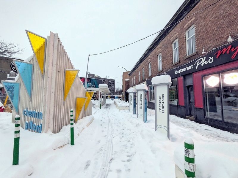
Le Coteau Saint-Louis
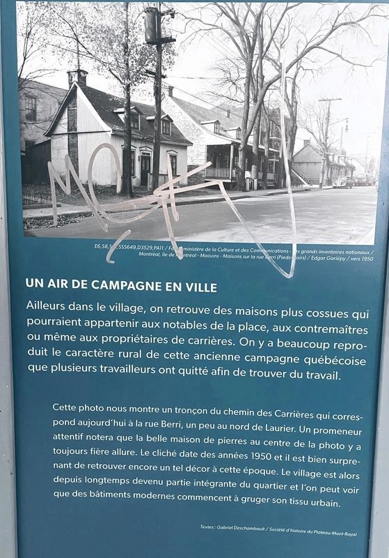
(panel 1) Un Air De Campagne En Ville
Ailleurs dans le village, on retrouve des maisons plus cossues qui pourraient appartenir aux notables de la place, aux contremaîtres ou même aux propriétaires de carrières. On y a beaucoup repro- duit le caractère rural de cette ancienne campagne québécoise que plusieurs travailleurs ont quitté afin de trouver du travail.
Cette photo nous montre un tronçon du chemin des Carrières qui correspond aujourd'hui à la rue Berri, un peu au nord de Laurier. Un promeneur attentif notera que la belle maison de pierres au centre de la photo y a toujours fière allure. Le cliché date des années 1950 et il est bien surpre- nant de retrouver encore un tel décor à cette époque. Le village est alors depuis longtemps devenu partie intégrante du quartier et l'on peut voir que des bâtiments modernes commencent à gruger son tissu urbain.
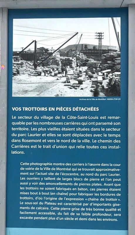
(panel 2) Vos Trottoirs En Pièces Détachées
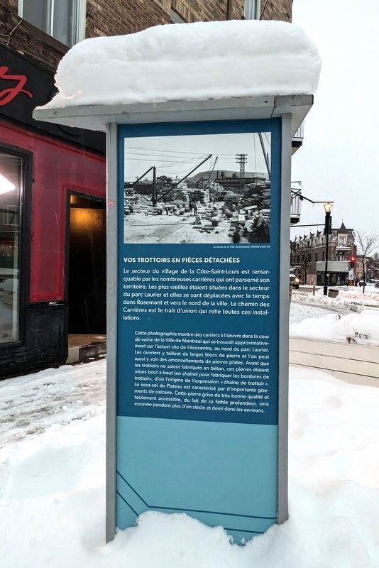
Le secteur du village de la Côte-Saint-Louis est remarquable par les nombreuses carrières qui ont parsemé son territoire. Les plus vieilles étaient situées dans le secteur du parc Laurier et elles se sont déplacées avec le temps dans Rosemont et vers le nord de la ville. Le chemin des Carrières est le trait d'union qui relie toutes ces installations.
Cette photographie montre des carriers à l'œuvre dans la cour de voirie de la Ville de Montréal qui se trouvait approximativement sur l'actuel site de l'écocentre, au nord du parc Laurier. Les ouvriers y taillent de larges blocs de pierre et l'on peut aussi y voir des amoncellements de pierres plates. Avant que les trottoirs ne soient fabriqués en béton, ces pierres étaient mises bout à bout (en chaîne) pour fabriquer les bordures de trottoirs, d'où l'origine de l'expression “chaîne de trottoir”. Le sous-sol du Plateau est caractérisé par d'importants gise- ments de calcaire. Cette pierre grise de très bonne qualité et facilement accessible, du fait de sa faible profondeur, sera excavée pendant plus d'un siècle et demi dans les environs.
(English)
(panel 1) A Countryside In The City
Elsewhere in the village, there are more opulent houses that could belong to local notables, foremen or even quarry owners. Much of the rural character of this old Quebec countryside has been reproduced there, which many workers left in order to find work.
This photo shows us a section of chemin des Carrières which today corresponds to rue Berri, a little north of Laurier. An attentive walker will note that the beautiful stone house in the center of the photo still looks great there. The photograph dates from the 1950s and it is quite surprising to still find such a setting at that time. The village has long since become an integral part of the district and we can see that modern buildings are beginning to eat away at its urban fabric.
(panel 2) Your Sidewalk In Spare Parts
The sector of the village of Côte-Saint-Louis is remarkable for the many quarries that have dotted its territory. The oldest were located in the Parc Laurier sector and they moved over time to Rosemont and to the north of the city. The Chemin des Carrières is the link that connects all these installations.
This photograph shows quarry workers at work in the City of Montreal's road yard, which was located approximately on the current site of the ecocentre, north of Laurier Park. The workers cut large blocks of stone there and you can also see heaps of flat stones. Before sidewalks were made of concrete, these stones were placed end to end (in a chain) to make curbs, hence the origin of the term "sidewalk chain". The subsoil of the Plateau is characterized by large deposits of limestone. This gray stone of very good quality and easily accessible, because of its shallow depth, will be excavated for more than a century and a half in the surroundings.
Topics. This historical marker is listed in these topic lists: Industry & Commerce • Settlements & Settlers.
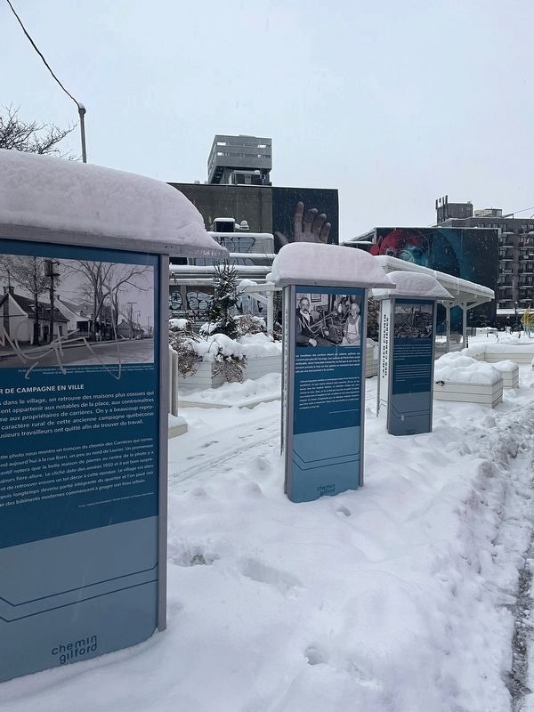
Location. 45° 31.535′ N, 73° 35.163′ W. Marker is in Montréal, Québec, in Communauté-Urbaine-de-Montréal. It is in Le Plateau-Mont-Royal. Marker is at the intersection of Rue Gilford and Rue Saint-Denis, on the right when traveling north on Rue Gilford. Touch for map. Marker is at or near this postal address: 408 Rue Gilford, Montréal QC H2J 2L5, Canada. Touch for directions.
Other nearby markers. At least 8 other markers are within 3 kilometers of this marker, measured as the crow flies. Le Petit Village Des Pieds-Noirs (here, next to this marker); L’Ancien Chemin Des Carrieres (here, next to this marker); Place Delia-Tetreault (approx. 1.8 kilometers away); Belvédère Kondiaronk (approx. 2.5 kilometers away); Arrondissement Historique Et Naturel Du Mont-Royal (approx. 2.5 kilometers away); Jacques Cartier (approx. 2.5 kilometers away); Hochelaga (approx. 2.6 kilometers away); La Basilique Saint-Patrick / Saint Patrick's Basilica (approx. 2.9 kilometers away). Touch for a list and map of all markers in Montréal.
Credits. This page was last revised on March 25, 2023. It was originally submitted on December 26, 2022, by Bernard Fisher of Richmond, Virginia. This page has been viewed 117 times since then and 38 times this year. Photos: 1, 2, 3, 4, 5, 6, 7. submitted on December 26, 2022, by Bernard Fisher of Richmond, Virginia.
