Lancaster Township in Lancaster County, Pennsylvania — The American Northeast (Mid-Atlantic)
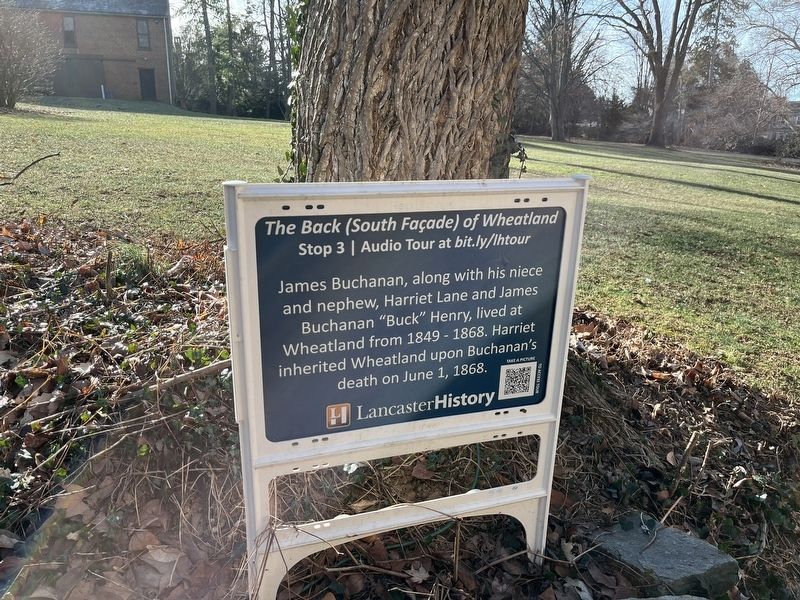
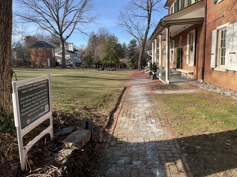
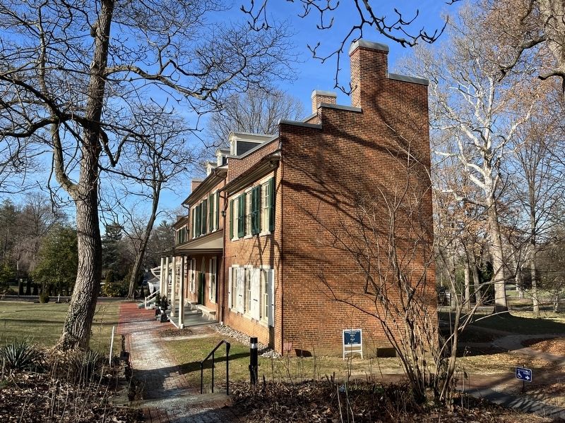
The Back (South Façade) of Wheatland
Stop 3 | Audio Tour at bit.ly/lhtour
Erected by LancasterHistory. (Marker Number 3.)
Topics. This historical marker is listed in this topic list: Settlements & Settlers. A significant historical date for this entry is June 1, 1868.
Location. 40° 2.579′ N, 76° 19.836′ W. Marker is near Lancaster, Pennsylvania, in Lancaster County. It is in Lancaster Township. Marker can be reached from Marietta Avenue. Touch for map. Marker is at or near this postal address: 1120 Marietta Ave, Lancaster PA 17603, United States of America. Touch for directions.
Other nearby markers. At least 8 other markers are within walking distance of this marker. The Front (North Façade) of Wheatland (within shouting distance of this marker); The Privy (within shouting distance of this marker); a different marker also named Privy (within shouting distance of this marker); James Buchanan Home (within shouting distance of this marker); The Outbuildings (within shouting distance of this marker); Smokehouse / Icehouse (within shouting distance of this marker); Corn Milling Stones (within shouting distance of this marker); The Frog Pond & West Meadow (about 400 feet away, measured in a direct line). Touch for a list and map of all markers in Lancaster.
Credits. This page was last revised on February 7, 2023. It was originally submitted on December 26, 2022, by Adam Margolis of Mission Viejo, California. This page has been viewed 310 times since then and 28 times this year. Photos: 1, 2, 3. submitted on December 26, 2022, by Adam Margolis of Mission Viejo, California. • Bill Pfingsten was the editor who published this page.


