Markleeville in Alpine County, California — The American West (Pacific Coastal)
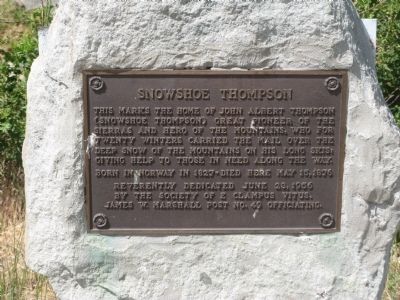
Snowshoe Thompson
By the Society of E Clampus Vitus
James W. Marshall Post No.49 Officiating
Erected 1956 by James W Marshall Post No.49, E Clampus Vitus.
Topics and series. This historical marker is listed in these topic lists: Communications • Settlements & Settlers. In addition, it is included in the E Clampus Vitus series list. A significant historical date for this entry is June 23, 1920.
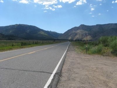
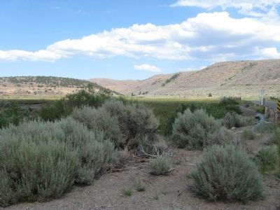
Location. 38° 46.368′ N, 119° 46.349′ W. Marker is in Markleeville, California, in Alpine County. Marker is on Diamond Valley Road, 3 miles east of California Highway 89, on the right when traveling west. Touch for map. Marker is in this post office area: Markleeville CA 96120, United States of America. Touch for directions.
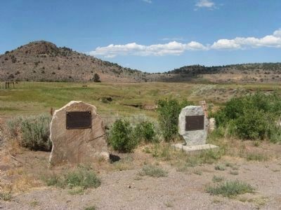
Other nearby markers. At least 8 other markers are within 6 miles of this marker, measured as the crow flies. Snowshoe Thompson Home (here, next to this marker); Snowshoe Thomson (within shouting distance of this marker); Carson Trail - To West Carson Canyon (approx. 2.6 miles away); The Pony Express - Woodfords (approx. 2.7 miles away); Woodfords Station (approx. 2.7 miles away); The Sign of the Elephant (approx. 2.8 miles away); Carson Trail - First Crossing in Mad Canyon (approx. 3.6 miles away); The Hurdy House (approx. 5.4 miles away). Touch for a list and map of all markers in Markleeville.
Photographed By Syd Whittle
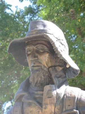
5. John A. “Snowshoe” Thompson
This statue and monument is located at the Mormon Station State Historic Park in Genoa, Nevada
Click for more information.
Click for more information.
Credits. This page was last revised on November 3, 2019. It was originally submitted on August 1, 2009, by Syd Whittle of Mesa, Arizona. This page has been viewed 1,507 times since then and 25 times this year. Photos: 1, 2, 3, 4. submitted on August 1, 2009, by Syd Whittle of Mesa, Arizona. 5. submitted on July 10, 2009, by Syd Whittle of Mesa, Arizona.
