Gloucester in Carteret County, North Carolina — The American South (South Atlantic)
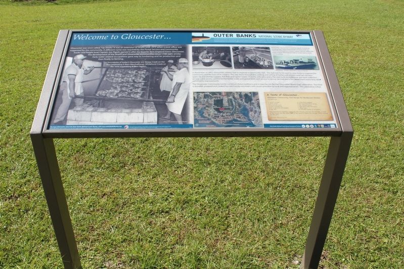
Welcome to Gloucester…
— The Outer Banks National Scenic Byway —
The boundaries of today’s Gloucester are Sleepy Creek on the east (separating it from Marshallberg), Whitehurst Creek on the west (separating it from Straits).
In November of 1955, Gloucester citizens met to organize a community club. The club was used to raise funds to improve the community and the lives of its citizens. This was done through the cooking and selling of barbecued chicken and ham dinners, spare-rib and shrimp suppers, fish fries and oyster roasts. Over the sixty-plus years, the club build its clubhouse, got trash collection service, cable access, petitioned for better roads and speed limits with access to rescue services and a fire department and many other community improvements.
The Gloucester Community Center continues these traditions and is now the site for the “Gloucester Mardi Gras” celebration. The food is donated, prepped and cooked by community volunteers with music provided by local and regional bands. This celebration is free.
(captions)
Gloucester Community Club Collection
Gloucester Community Club Collection
Gloucester Community Club Collection
Gloucester was home to Harkers Island’s first ferry, running from “Ferry Dock Road” on Gloucester to “Ferry Dock Road” on Harkers Island. Stories reflect the major impact this transportation route had on both communities.
Gloucester - Harkers Island Ferry | GB Lewis Collection
A Taste of Gloucester…
Gloucester Community Club Recipe for Barbequed Chicked
(10 servings)
1 quart vinegar
˝ tsp black pepper
1 pint water
2 tsp Worcestershire sauce
8 oz tomato juice
1 tsp Tabasco sauce
1 stick margarine
1 tsp Texas Pete hot sauce
˝ oz ground red pepper
1 tbsp sugar
4 tsp salt
10 chicken halve-s (5 chickens)
Mix ingredients together, marinate the chicken not over 30 minutes, in half of the sauce. Use the other half of the sauce to base the chicken while cooking on the grill.
Gloucester Community Club
The Outer Banks National Scenic Byway
The Outer Banks National Scenic Byway traverses one of the nation's great coastal landscapes. Tidal marshes, wind-swept dunes, lonesome beaches and beautiful sounds line the 138-mile route. Two national seashores are home to four lighthouses. Two national wildlife refuges highlight the region's rich biological diversity. You are invited to experience the maritime heritage of 21 traditional villages and communities.
Erected by Federal Highway Administration National Scenic Byways Program; Dare, Hyde, and Carteret Counties; Dare County Tourism Board.
Topics and series. This historical marker is listed in this topic list: Notable Places. In addition, it is included in the Outer Banks National Scenic Byway series list. A significant historical month for this entry is November 1955.
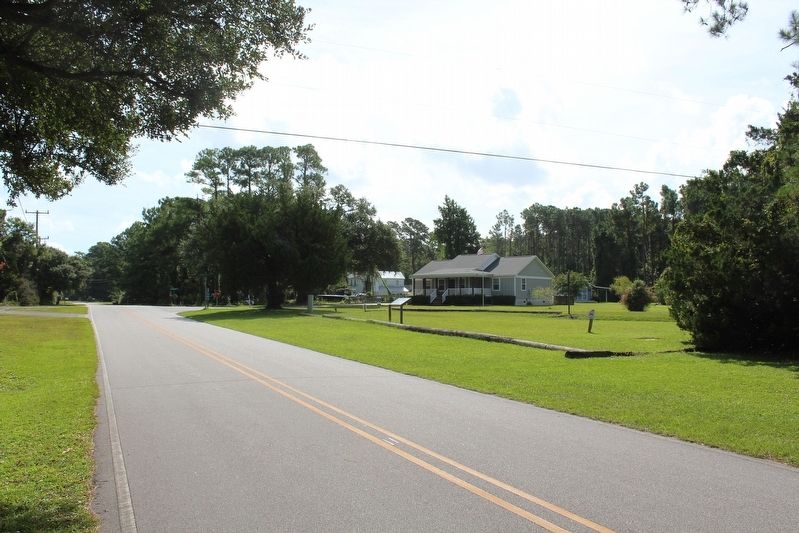
Location. 34° 43.572′ N, 76° 32.487′ W. Marker is in Gloucester, North Carolina, in Carteret County. Marker is at the intersection of Pigott Road and Ferry Dock Road, on the left when traveling west on Pigott Road. Touch for map. Marker is at or near this postal address: 476 Pigott Rd, Gloucester NC 28528, United States of America. Touch for directions.
Other nearby markers. At least 8 other markers are within 3 miles of this marker, measured as the crow flies. Welcome to Straits… (approx. one mile away); Marshallberg Harbor (approx. 1.3 miles away); Welcome to Marshallberg… (approx. 1.3 miles away); In Honor and Rememberance (approx. 2.3 miles away); In Honor of Our Veterans (approx. 2.3 miles away); Welcome to Harkers Island… (approx. 2.4 miles away); Rain Gardens (approx. 2.8 miles away); Cisterns (approx. 2.8 miles away).
Credits. This page was last revised on December 28, 2022. It was originally submitted on December 27, 2022, by Tom Bosse of Jefferson City, Tennessee. This page has been viewed 170 times since then and 66 times this year. Photos: 1, 2. submitted on December 27, 2022, by Tom Bosse of Jefferson City, Tennessee. • Bernard Fisher was the editor who published this page.

