Knights Ferry in Stanislaus County, California — The American West (Pacific Coastal)
Mill House
Tulloch Grist Mill
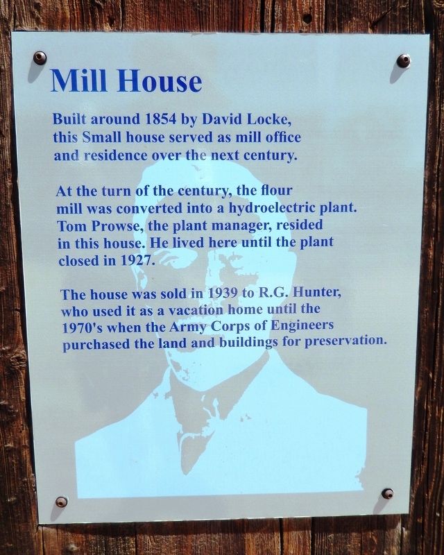
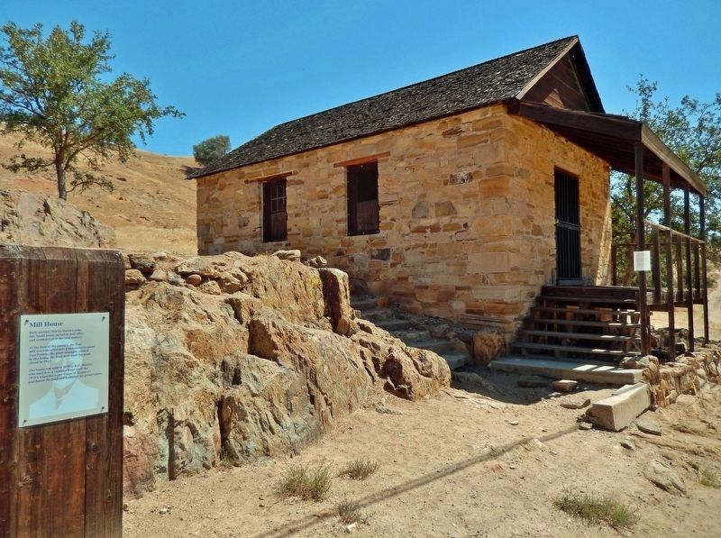
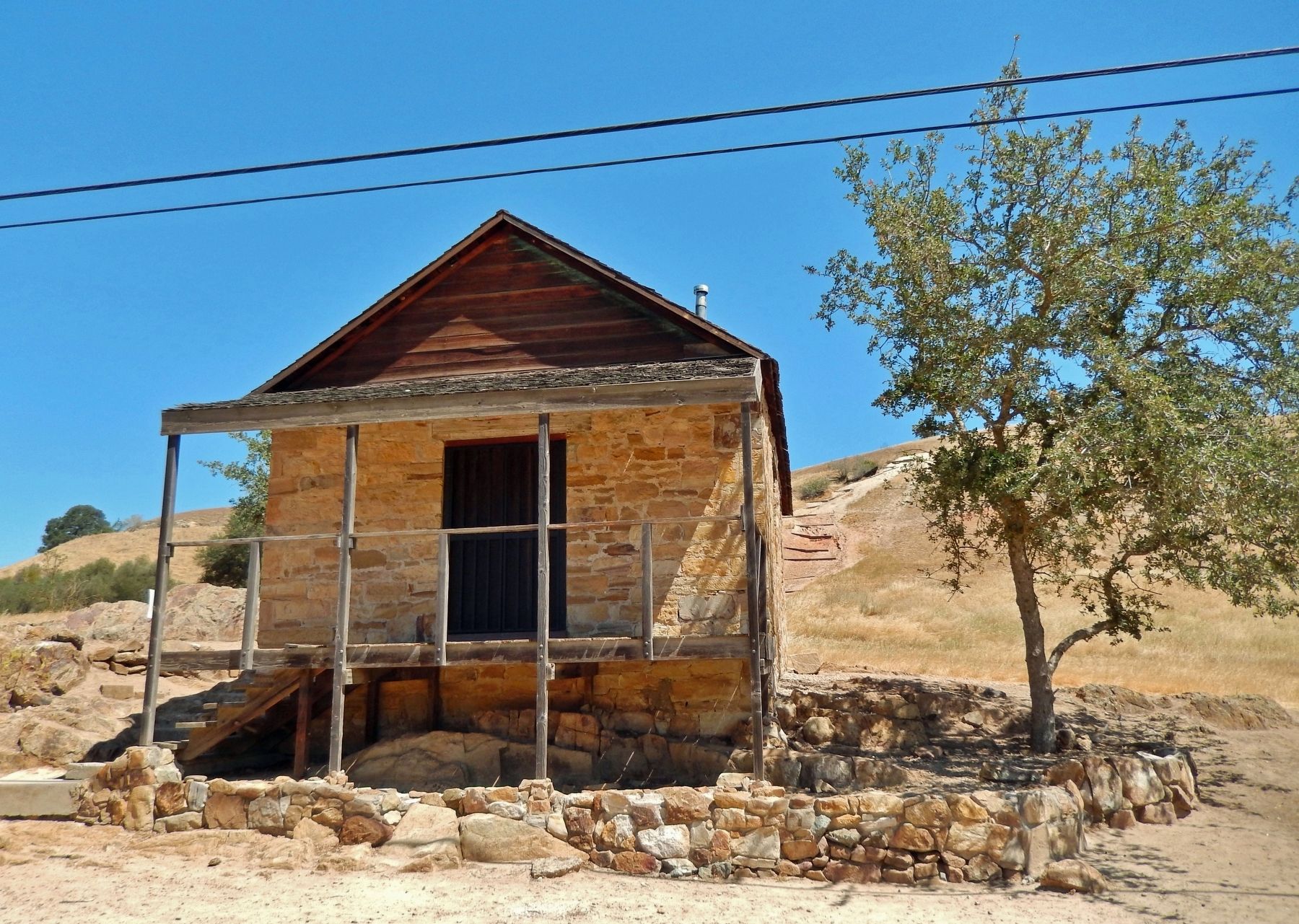
Built around 1854 by David Locke, this small house served as mill office and residence over the next century.
At the turn of the century, the flour mill was converted into a hydroelectric plant. Tom Prowse, the plant manager, resided in this house. He lived here until the plant closed in 1927.
The house was sold in 1939 to R.G. Hunter, who used it as a vacation home until the 1970's when the Army Corps of Engineers purchased the land and buildings for preservation.
Topics. This historical marker is listed in these topic lists: Architecture • Industry & Commerce • Settlements & Settlers. A significant historical year for this entry is 1854.
Location. 37° 49.227′ N, 120° 39.876′ W. Marker is in Knights Ferry, California, in Stanislaus County. Marker can be reached from Covered Bridge Road, 0.2 miles east of Sonora Road (Main Street). Marker and Mill House are located in the Knights Ferry-Stanislaus River Park, near the north portal of the Knight's Ferry Covered Bridge. Touch for map. Marker is at or near this postal address: 17968 Covered Bridge Road, Oakdale CA 95361, United States of America. Touch for directions.
Other nearby markers. At least 8 other markers are within walking distance of this marker. Knights Ferry Covered Bridge (a few steps from this marker); Tulloch’s Mill (within shouting distance of this marker); Knight's Ferry Bridge (within shouting distance of this marker); Power Generation (within shouting distance of this marker); The Ancient and Honorable Order of E Clampus Vitus (approx. 0.3 miles away); Knights Ferry No. 2 (approx. 0.4 miles away); Knights Ferry - The Store (approx. 0.4 miles away); Miller's Saloon (approx. 0.4 miles away). Touch for a list and map of all markers in Knights Ferry.
Related markers. Click here for a list of markers that are related to this marker. Tulloch Grist Mill
Credits. This page was last revised on December 27, 2022. It was originally submitted on December 27, 2022, by Cosmos Mariner of Cape Canaveral, Florida. This page has been viewed 115 times since then and 28 times this year. Photos: 1, 2, 3. submitted on December 27, 2022, by Cosmos Mariner of Cape Canaveral, Florida.


