Sault Ste. Marie in Chippewa County, Michigan — The American Midwest (Great Lakes)
New Fort Brady
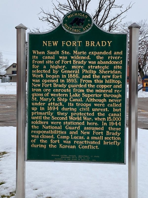
When Sault Ste. Marie expanded and its canal was widened, the riverfront site of Fort Brady was abandoned for a higher, more strategic site selected by General Philip Sheridan. Work began in 1886, and the new fort was opened in 1893. From this hilltop, New Fort Brady guarded the copper and iron ore enroute from the mineral regions of western Lake Superior through St. Mary’s Ship Canal. Although never under attack, its troops were called up in 1894 during civil unrest, but primarily they protected the canal until the Second World War, when fifteen thousand soldiers were stationed here. In 1944 the National Guard assumed these responsibilities and New Fort Brady was closed. Camp Lucas, a small section of the fort, was reactivated briefly during the Korean Conflict.
Erected 1976 by Michigan History Division, Department of State. (Marker Number S305.)
Topics and series. This historical marker is listed in this topic list: Forts and Castles. In addition, it is included in the Michigan Historical Commission series list. A significant historical year for this entry is 1886.
Location. 46° 29.605′ N, 84° 21.576′ W. Marker is in Sault Ste. Marie, Michigan, in Chippewa County. Marker is at the intersection of Ryan Avenue and College Drive on Ryan Avenue . The marker is in the same parking lot for the Kenneth J. Shouldice Library on the campus of Lake Superior State University. Touch for map. Marker is at or near this postal address: 906 Ryan Avenue, Sault Sainte Marie MI 49783, United States of America. Touch for directions.
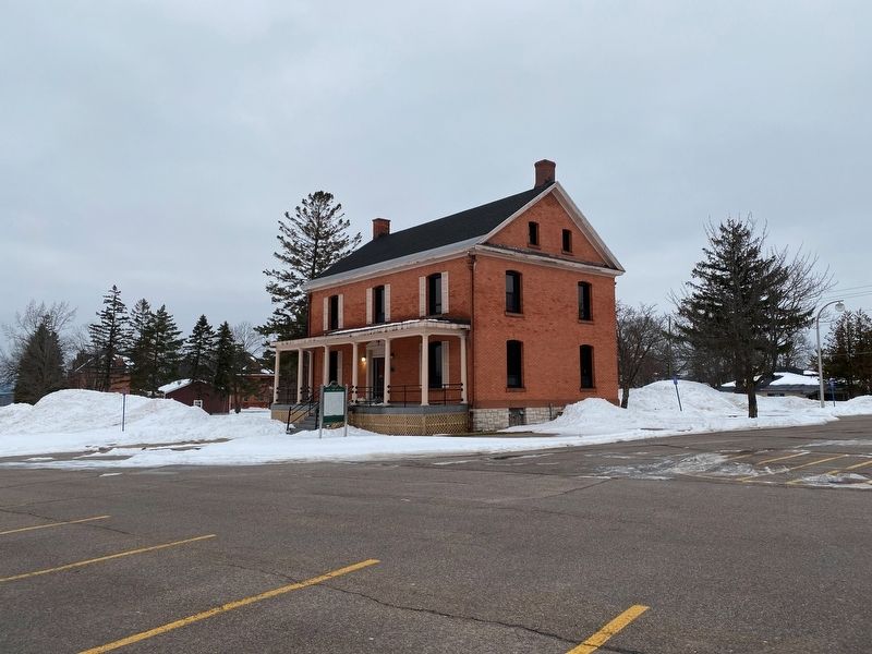
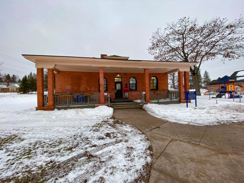
Other nearby markers. At least 8 other markers are within walking distance of this marker. Brown Hall (here, next to this marker); Chippewa Hall (within shouting distance of this marker); East Hall (within shouting distance of this marker); Laker Hall (about 300 feet away, measured in a direct line); Huron Hall (about 400 feet away); Ryan Hall (about 500 feet away); Ontario Hall (about 500 feet away); Easterday Hall (about 500 feet away). Touch for a list and map of all markers in Sault Ste. Marie.
Also see . . . Fort Brady. Excerpt:
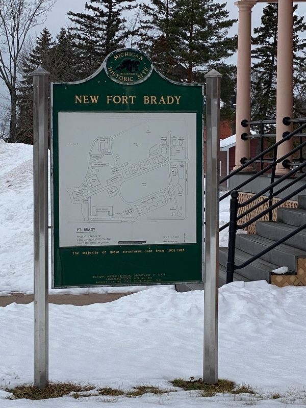
The original site of New Fort Brady consisted on 64 buildings sited on 73 acres. Fourteen of these buildings still exist.(Submitted on January 5, 2023, by J.T. Lambrou of New Boston, Michigan.)
Credits. This page was last revised on January 6, 2023. It was originally submitted on January 5, 2023, by J.T. Lambrou of New Boston, Michigan. This page has been viewed 110 times since then and 23 times this year. Photos: 1, 2, 3, 4. submitted on January 5, 2023, by J.T. Lambrou of New Boston, Michigan. • J. Makali Bruton was the editor who published this page.


