Ross in Marin County, California — The American West (Pacific Coastal)
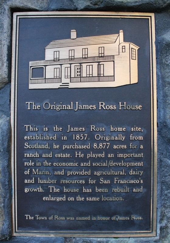
The Original James Ross House
The Town of Ross was named in honor of James Ross.
Topics. This historical marker is listed in this topic list: Settlements & Settlers. A significant historical year for this entry is 1857.
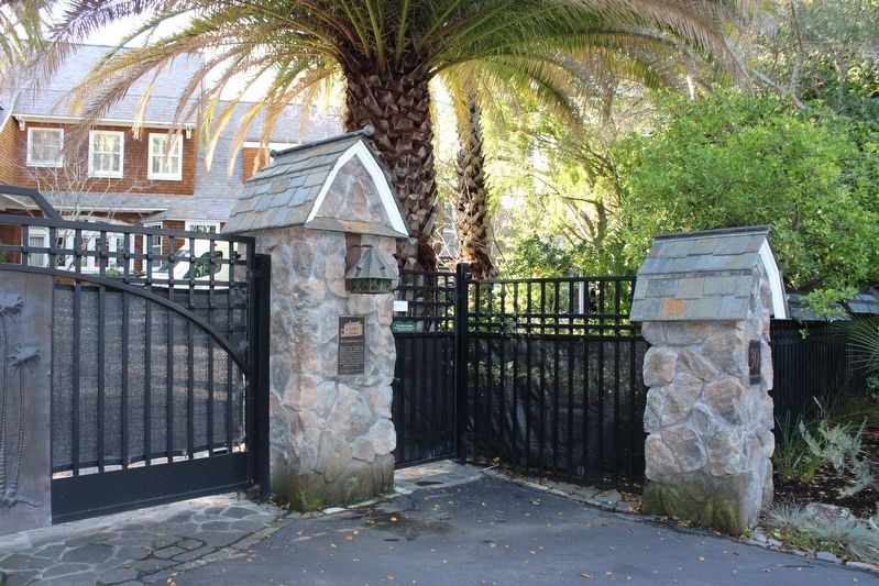
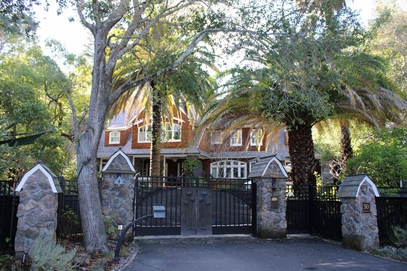
Location. 37° 57.523′ N, 122° 33.323′ W. Marker is in Ross, California, in Marin County. Marker is on Redwood Drive south of Brookwood Lane, on the left when traveling north. The plaque is mounted to the stone gate at the driveway. Touch for map. Marker is at or near this postal address: 30 Redwood Drive, Ross CA 94957, United States of America. Touch for directions.
Other nearby markers. At least 8 other markers are within 2 miles of this marker, measured as the crow flies. Ross War Memorial (approx. ¼ mile away); Historic Dedication of the Lagunitas Road Bridge (approx. ¼ mile away); Montgomery Chapel (approx. 0.8 miles away); Rev. Dr. Thoedore A, Gill (approx. 0.9 miles away); High Water Mark (approx. 1.1 miles away); a different marker also named High Water Mark (approx. 1.1 miles away); a different marker also named High Water Mark (approx. 1.2 miles away); Paul Chirone (approx. 1.2 miles away). Touch for a list and map of all markers in Ross.
Also see . . . Town of Ross: How We Became A Town.
"After the Mexican Revolution of 1821, the “land grant” system of parceling out land gave rise to what we now know as Marin County. Ross was originally part of an 8,877-acre Mexican land grant to Juan B.R. Cooper in 1840 known as Ranch Punta de Quentin Canada de San Anselmo. The Town of Ross itself was named in honor of James Ross, who purchased the land in 1857 for $50,000. Ross built his home on Redwood Drive and moved there with his wife and three children."(Submitted on January 9, 2023, by Joseph Alvarado of Livermore, California.)
Credits. This page was last revised on January 9, 2023. It was originally submitted on January 9, 2023, by Joseph Alvarado of Livermore, California. This page has been viewed 158 times since then and 57 times this year. Photos: 1, 2, 3. submitted on January 9, 2023, by Joseph Alvarado of Livermore, California.


