Sault Ste. Marie in Chippewa County, Michigan — The American Midwest (Great Lakes)
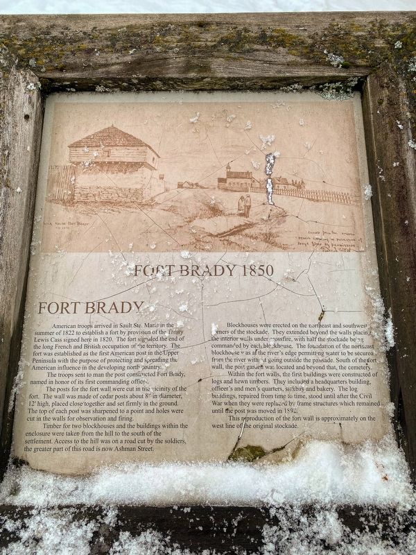
Fort Brady 1850
The troops sent to man the post constructed Fort Brady, named in honor of its first commanding officer.
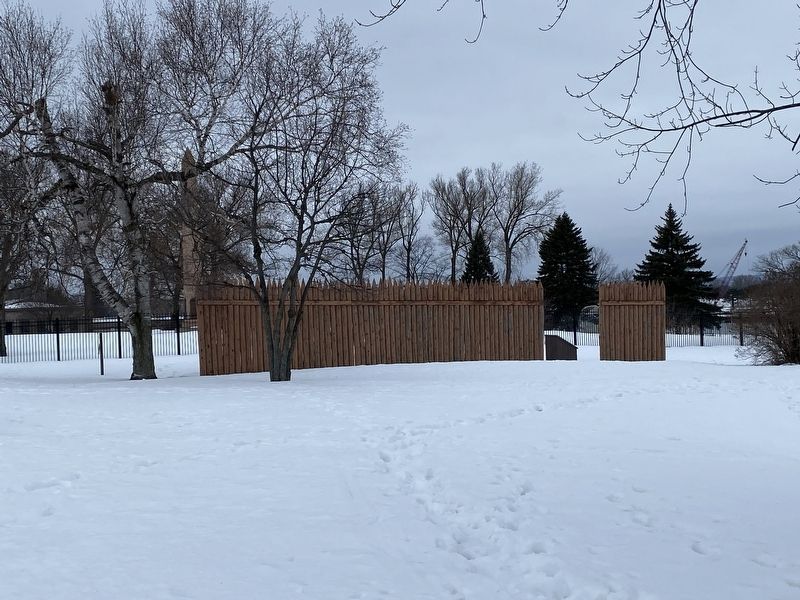
The posts for the fort wall were cut in the vicinity of the fort. The wall was made of cedar posts about 8” in diameter, 12' high, placed close together and set firmly in the ground. The top of each post was sharpened to a point and holes were cut in the walls for observation and firing.
Timber for two blockhouses and the buildings within the enclosure were taken from the hill to the south of the settlement. Access to the hill was on a road cut by the soldiers, the greater part of this road is now Ashman Street.
Blockhouses were erected on the northeast and southwest corners of the stockade. They extended beyond the walls placing the interior walls under "crossfire, with half the stockade being commanded by each blockhouse. The foundation of the northeast blockhouse was at the river's edge permitting water to be secured from the river with it going outside the palisade. South of the fort wall, the post garden was located and beyond that, the cemetery.
Within the fort walls, the first buildings were constructed of logs and hewn timbers. They included a headquarters building, officer's and men's quarters, sickbay and bakery. The log buildings, repaired from time to time, stood until after the Civil War when they were replaced by frame structures which remained until the post was moved in 1892.
This reproduction of the fort wall is approximately on the west line of the original stockade.
Topics. This historical marker is listed in this topic list: Forts and Castles. A significant historical year for this entry is 1822.
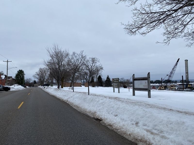
Location. 46° 29.98′ N, 84° 20.51′ W. Marker is in Sault Ste. Marie, Michigan, in Chippewa County. Marker is at the intersection of East Water Street and Brady Street, on the right when traveling west on East Water Street. Touch for map. Marker is at or near this postal address: 298 East Water Street, Sault Sainte Marie MI 49783, United States of America. Touch for directions.
Other nearby markers. At least 8 other markers are within walking distance of this marker. Statue of St. Mary (within shouting distance of this marker); Fort Brady (within shouting distance of this marker); Ancient Anishinaabek Burial Ground (within shouting distance of this marker); A Sampler of Vessels That Have Passed This Spot (within shouting
distance of this marker); a different marker also named Fort Brady (within shouting distance of this marker); The King's Grant (about 300 feet away, measured in a direct line); St. Mary's Church (about 300 feet away); Old Fort Brady (about 300 feet away). Touch for a list and map of all markers in Sault Ste. Marie.
Credits. This page was last revised on January 19, 2023. It was originally submitted on January 16, 2023, by J.T. Lambrou of New Boston, Michigan. This page has been viewed 87 times since then and 26 times this year. Photos: 1. submitted on January 18, 2023, by J.T. Lambrou of New Boston, Michigan. 2, 3. submitted on January 19, 2023, by J.T. Lambrou of New Boston, Michigan. • J. Makali Bruton was the editor who published this page.


