St. Clairsville in Belmont County, Ohio — The American Midwest (Great Lakes)
Governor Arthur St. Clair 1734-1818
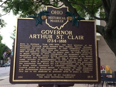
Photographed by Judy King, August 24, 2014
1. Governor Arthur St. Clair 1734-1818 Marker
Erected 2011 by The Rotary Club of St. Clairsville, The Ohio Historical Society. (Marker Number 17-7.)
Topics and series. This historical marker is listed
this page online
Location. 40° 4.833′ N, 80° 54.067′ W. Marker is in St. Clairsville, Ohio, in Belmont County. It is on West Main Street (U.S. 40) west of Market Street, on the right when traveling west. Touch for map. Marker is at or near this postal address: 111 W Main St, Saint Clairsville OH 43950, United States of America. Touch for directions.

Regionally, this marker is in Ohio’s High Valley. It is also in the American Midwest, in Appalachia, and specifically in Northern Appalachia. Globally, it is in North America, the Western Hemisphere, the Western World, and the Anglosphere. Historically, it finds itself in what was once the Haudenosaunee (Iroquois) Confederacy, the territory of the Mississippian Culture, and the Northwest Territory.
Other nearby markers. At least 8 other markers are within walking distance of this marker: The Historic National Road in Ohio (a few steps from
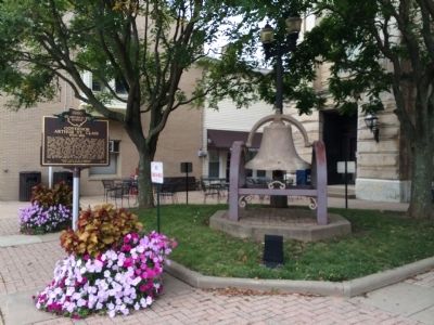
Photographed by Judy King, August 24, 2014
2. Governor Arthur St. Clair 1734-1818 Marker
Another marker is no longer nearby. Milestone Marks where Extension of National Road… (was within shouting distance of this marker but has been permanently removed).
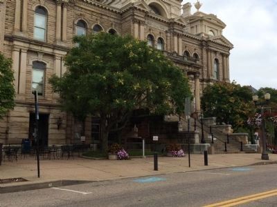
Photographed by Judy King, August 24, 2014
3. Governor Arthur St. Clair 1734-1818 Marker
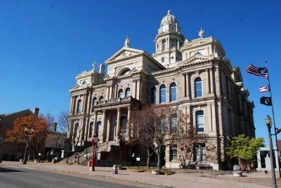
Photographed by Mike Wintermantel, November 2, 2014
4. Governor Arthur St. Clair 1734-1818 Marker and Belmont County Courthouse
Marker is on left side of photo.
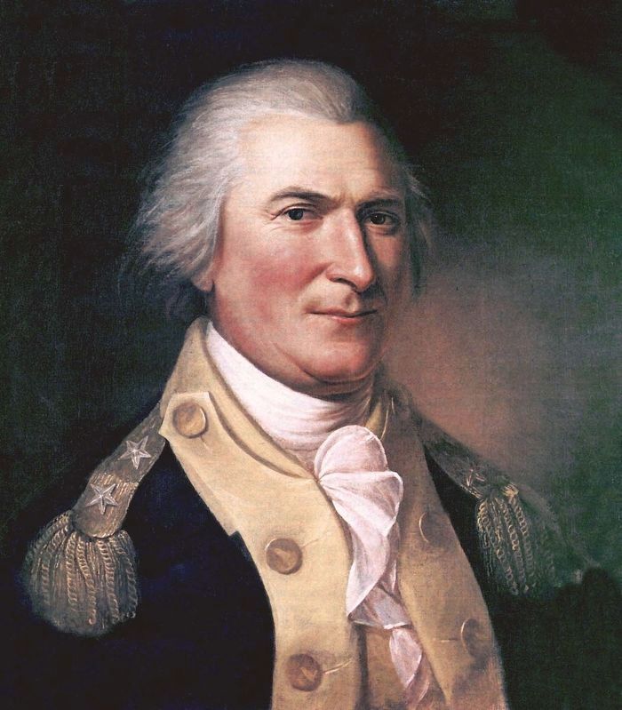
Photographed by Wikipedia
5. Governor Arthur St. Clair
Portrait by Charles Willson Peale between 1782 and 1784.
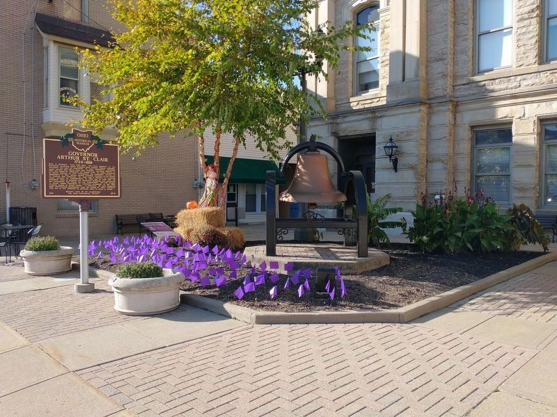
Photographed by Craig Doda, October 21, 2022
6. Governor Arthur St. Clair 1734-1818 Marker
New paint on the belfry.
Credits. This page was last revised on January 26, 2023. It was originally submitted on August 24, 2014, by Judy King of Pittsburgh, Pennsylvania. This page has been viewed 1,140 times since then and 52 times this year. Last updated on January 22, 2023, by Craig Doda of Napoleon, Ohio. Photos: 1, 2, 3. submitted on August 24, 2014, by Judy King of Pittsburgh, Pennsylvania. 4. submitted on November 2, 2014, by Mike Wintermantel of Pittsburgh, Pennsylvania. 5. submitted on February 20, 2021, by Allen C. Browne of Silver Spring, Maryland. 6. submitted on January 22, 2023, by Craig Doda of Napoleon, Ohio. • Devry Becker Jones was the editor who published this page.
