Marion in Grant County, Indiana — The American Midwest (Great Lakes)
Former Narrow Gauge Railroad / Railroad Construction
Side 1
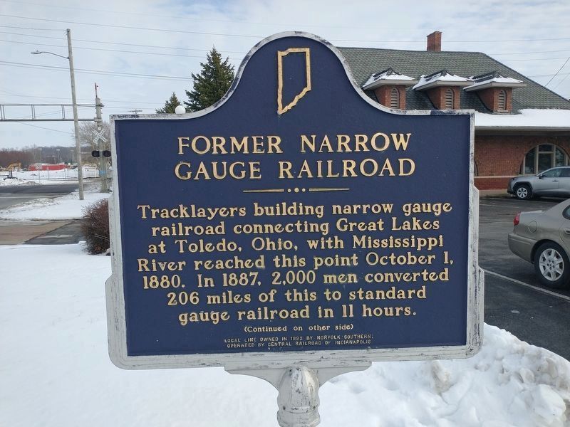
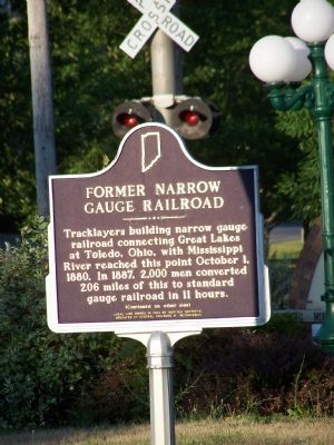
Tracklayers building narrow gauge railroad connecting Great Lakes at Toledo, Ohio, with Mississippi River reached this point October 1, 1880. In 1887, 2,000 men converted 206 miles of this to standard gauge railroad in 11 hours.
Side 2
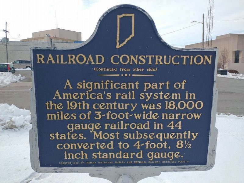
A significant part of America’s rail system in the 19th century was 18,000 miles of 3-foot-wide narrow gauge railroad in 44 states. Most subsequently converted to 4-foot, 8˝ inch standard gauge.
Erected 1992 by Indiana Historical Bureau and National Railway Historical Society. (Marker Number 27.1992.1.)
Topics and series. This historical marker is listed in this topic list: Railroads & Streetcars. In addition, it is included in the Indiana Historical Bureau Markers series list. A significant historical date for this entry is October 1, 1865.
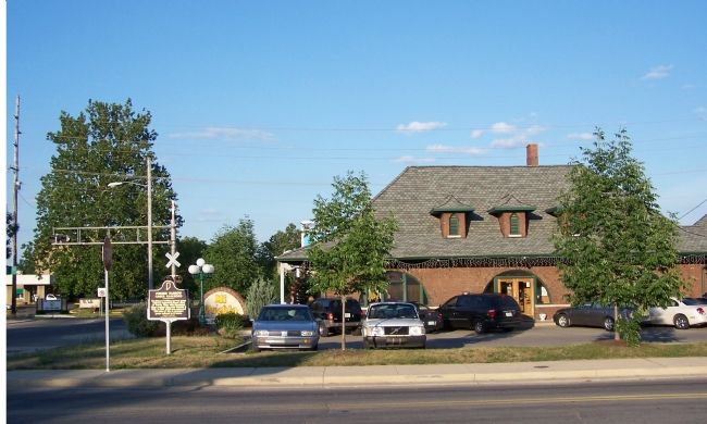
Location. 40° 33.466′ N, 85° 39.361′ W. Marker is in Marion, Indiana, in Grant County. Marker is at the intersection of East 4th Street and South McClure Street on East 4th Street. Touch for map. Marker is at or near this postal address: 406 E 4th St, Marion IN 46952, United States of America. Touch for directions.
Other nearby markers. At least 8 other markers are within walking distance of this marker. On This Site Stood The Seven Gables (within shouting distance of this marker); American Actor James Dean (within shouting distance of this marker); Birthplace of James Dean (within shouting distance of this marker); Vietnam Veterans Memorial (about 300 feet away, measured in a direct line); Madelyn Pugh Davis (about 600 feet away); Mildred Dilling (about 600 feet away); Marie Webster (about 600 feet away); Kenesaw Mountain Landis (about 600 feet away). Touch for a list and map of all markers in Marion.
Also see . . . A narrow-gauge railroad. Window to the Past website entry:
Does not mention Marion, Indiana, where this marker stands, but it does discuss the narrow-gauge railroad being developed to connect Toledo, the Great Lakes and St. Louis. (Submitted on July 26, 2007, by M. Bowyer of Indianapolis, Indiana.)
Additional commentary.
1. Norfolk Southern
The Norfolk Southern Railroad currently operates this rail line. The Indiana Department of Transportation makes available a 2006 map of active rail lines in Indiana.
— Submitted February 4, 2008, by Christopher Light of Valparaiso, Indiana.
2. The Cloverleaf RR (Narrow gauge)
The Toledo, St. Louis and Western Railroad was one of several narrow gauge lines operating out of a hub of narrow gauge lines in Delphos, Ohio. It began operations in 1877 and had reached East St. Louis on the Mississippi River under the name Toledo, Cincinnati and St. Louis Railroad by 1877. It was part of a greater scheme to connect Toledo with Mexico. In 1923, it was merged with the Nickle Plate Railroad. Ref:Railroads of Indiana; Richard S. Simms and Francis H. Parke; Indiana University Press, 1997, pg 124
— Submitted November 2, 2010, by Christopher Light of Valparaiso, Indiana.
Credits. This page was last revised on January 30, 2023. It was originally submitted on July 2, 2007, by M. Bowyer of Indianapolis, Indiana. This page has been viewed 2,140 times since then and 18 times this year. Last updated on January 29, 2023, by Craig Doda of Napoleon, Ohio. Photos: 1, 2. submitted on January 29, 2023, by Craig Doda of Napoleon, Ohio. 3, 4. submitted on July 2, 2007, by M. Bowyer of Indianapolis, Indiana. • J. J. Prats was the editor who published this page.


