Rohrerstown in Lancaster in Lancaster County, Pennsylvania — The American Northeast (Mid-Atlantic)
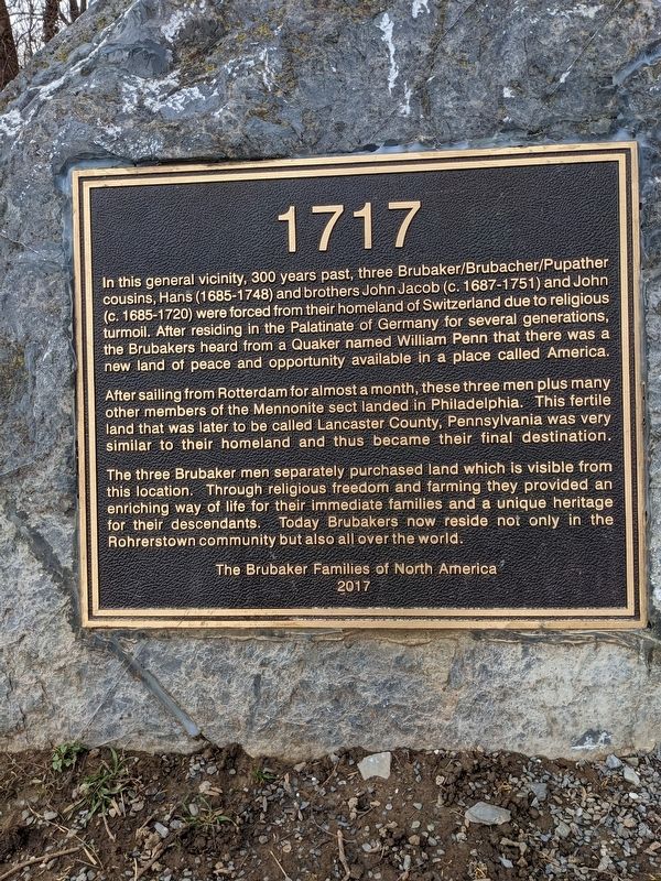
1717
After sailing from Rotterdam for almost a month, these three men plus many other members of the Mennonite sect landed in Philadelphia. This fertile land that was later to be called Lancaster County, Pennsylvania was very similar to their homeland and thus became their final destination.
v The three Brubaker men separately purchased land which is visible from this location. Through religious freedom and farming they provided an enriching way of life for their immediate families and a unique heritage for their descendants. Today Brubakers now reside not only in the Rohrerstown community but also all over the world.
Erected 2017 by The Brubaker Families of North America.
Topics. This historical marker is listed in this topic list: Settlements & Settlers. A significant historical year for this entry is 1717.
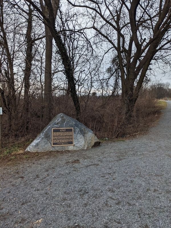
Location. 40° 3.288′ N, 76° 21.116′ W. Marker is in Lancaster, Pennsylvania, in Lancaster County. It is in Rohrerstown. Marker can be reached from Good Drive near Parklawn Court, on the right when traveling north. This marker is located at the entrance to the walking trail at Noel Dorwart Park. Touch for map. Marker is at or near this postal address: 405 Good Dr, Lancaster PA 17603, United States of America. Touch for directions.
Other nearby markers. At least 8 other markers are within 2 miles of this marker, measured as the crow flies. Lancaster Area Refuse Authority (approx. 0.3 miles away); Lancaster Brick Company (approx. half a mile away); Pennsylvania Rifle (approx. 0.7 miles away); Landis Mill Covered Bridge (1873) (approx. one mile away); Wheatland (approx. 1.4 miles away); The Frog Pond & West Meadow (approx. 1.4 miles away); Smokehouse / Icehouse (approx. 1.4 miles away); The Outbuildings (approx. 1.4 miles away). Touch for a list and map of all markers in Lancaster.
More about this marker. This marker can not be seen from the road but can be seen from the parking area for the park.
Credits. This page was last revised on February 2, 2023. It was originally submitted on January 31, 2023, by William Pope of Marietta, Pennsylvania. This page has been viewed 86 times since then and 30 times this year. Photos: 1, 2. submitted on January 31, 2023, by William Pope of Marietta, Pennsylvania. • Bill Pfingsten was the editor who published this page.

