Oak Ridge in Anderson County, Tennessee — The American South (East South Central)
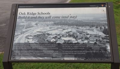
Oak Ridge Schools
Build it and they will come (and stay)
— Manhattan Project National Historical Park —
The rapidly increasing population of Oak Ridge during the early 1940s led to a high demand for housing. At one point, homes within the Secret City were being completed every 30 minutes. Oak Ridge needed a school system to meet the educational needs of its community.
General Leslie Groves, military commander of the Manhattan Project insisted that the schools be of the highest quality, if he wanted to keep scientists in rural Tennessee. The school system hired the most highly qualified teachers from all over the country and from neighboring communities How? By paying them more.
Schools were constructed within walking distance of most homes, and by 1946, three years after Oak Ridge was established, had roughly 7,000 students enrolled in 10 elementary schools, one high school, and one junior high.
The building you see before you today was Highland View Elementary, one of the few remaining original Oak Ridge school buildings.
Erected by National Park Service / U.S. Department of the Interior.
Topics. This historical marker is listed in these topic lists: Architecture • Education • War, World II.
Location. 36° 1.404′ N, 84° 16.27′ W. Marker is in Oak Ridge, Tennessee , in Anderson County. Marker is on West Outer Drive. Touch for map. Marker is at or near this postal address: 454 W Outer Dr, Oak Ridge TN 37830, United States of America. Touch for directions.
Other nearby markers. At least 8 other markers are within one mile of this marker, measured as the crow flies. The Swimming Hole (approx. 0.6 miles away); Oak Ridge Municipal Outdoor Swimming Pool (approx. 0.6 miles away); Grove Center (approx. 0.7 miles away); The Robertsville Community (approx. ¾ mile away); Midtown Community Center (approx. 0.8 miles away); The Emery Road (approx. 0.8 miles away); International Friendship Bell (approx. 0.9 miles away); Y-12 – The Calutron Plant (approx. one mile away). Touch for a list and map of all markers in Oak Ridge.
Credits. This page was last revised on February 4, 2023. It was originally submitted on February 1, 2023, by Dave W of Co, Colorado. This page has been viewed 89 times since then and 16 times this year. Photo 1. submitted on February 1, 2023, by Dave W of Co, Colorado. • Bill Pfingsten was the editor who published this page.
