Waterfront in Boston in Suffolk County, Massachusetts — The American Northeast (New England)
The Great Fire
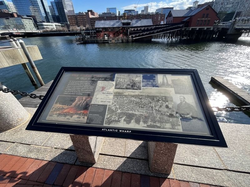
The Disaster that Changed Boston
— Atlantic Wharf —
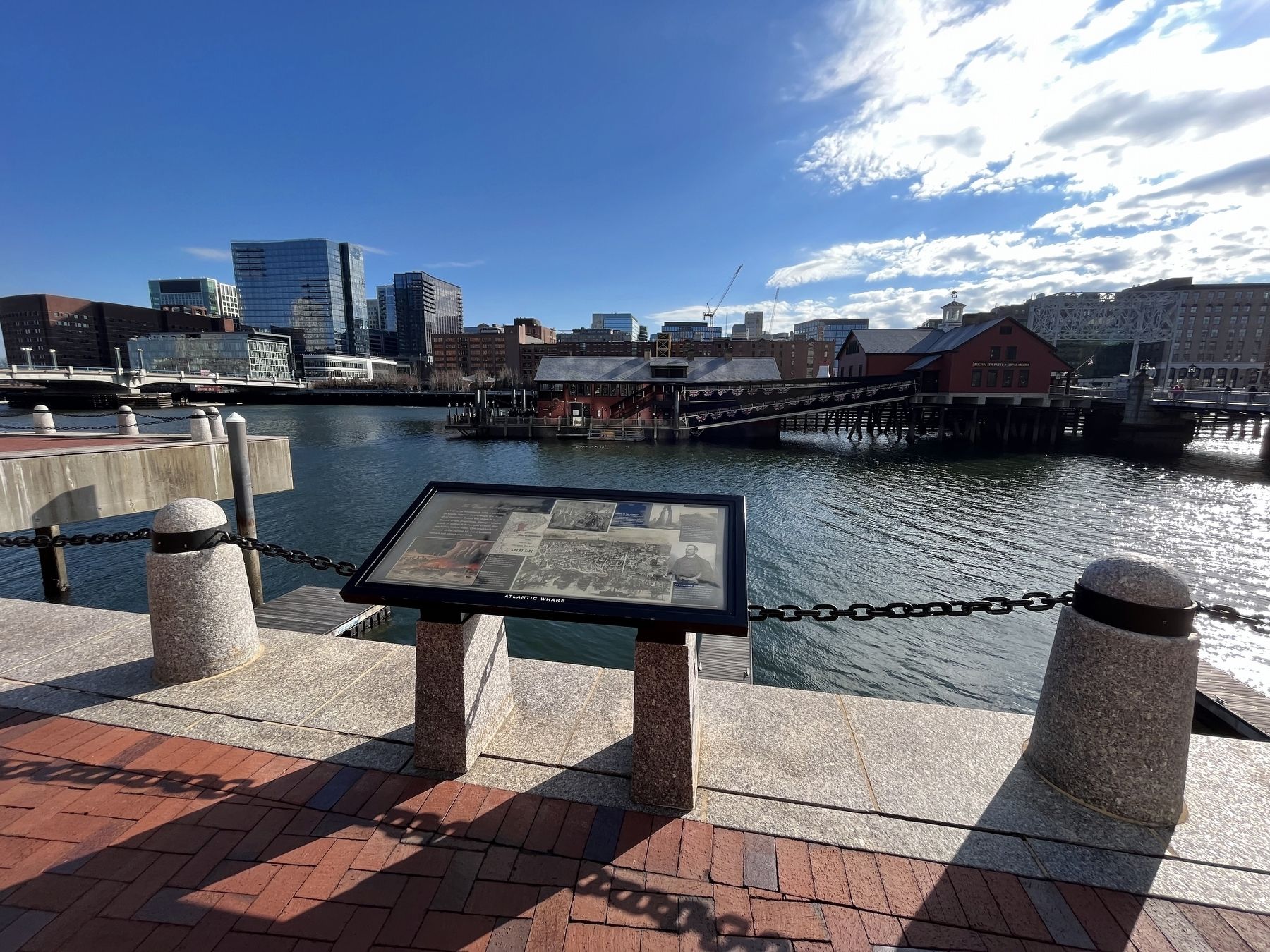
At 7:22 PM on November 9, 1872, a warehouse on nearby Summer Street caught fire. Soon all of downtown Boston was ablaze in a disaster of epic proportions. Damages totaled nearly 75 million dollars, equal to more than one billion dollars today. This neighborhood was one of the hardest hit. Local business owners lost almost everything.
[Captions:]
The Losses
The 12-hour fire consumed about 65 acres, represented by the pink area on this map. More than 775 buildings were destroyed and 20 people killed. Nine of the dead were firefighters.
Highly Flammable
Boston's buildings were tinderboxes. The exteriors may have been brick and granite, but roofs, elevator shafts, and stairways were wood. To make matters worse, many downtown warehouses contained flammable goods like fabric.
Chaos in the Streets
In addition to looters, firefighters faced many challenges that night. They also confronted low water pressure, tricky gas lines, far too few fire hydrants, and plain bad luck. Many of the horses needed to transport firefighting equipment happened to be sick that night.
A City in Ruins
"From all the city, all the surrounding towns, men and women come to see the desolation," according to an eyewitness account of the event and its aftermath. Cleanup began with a few days of the fire and continued for months afterward.
An Unheeded Warning
Prior to the disaster, Boston Fire Chief John Damrell repeatedly cautioned city officials that the city was extremely vulnerable to fire. As early as 1866, he requested—and was denied—building code updates and a better equipped fire department.
Topics. This historical marker is listed in these topic lists: Charity & Public Work • Disasters • Industry & Commerce. A significant historical date for this entry is November 9, 1872.
Location. 42° 21.171′ N, 71° 3.117′ W. Marker is in Boston, Massachusetts, in Suffolk County. It is in Waterfront. Marker is on Harborwalk north of Congress Street, on the right when traveling north. Touch for map. Marker is at or near this postal address: 294 Congress St, Boston MA 02210, United States of America. Touch for directions.
Other nearby markers. At least 8 other markers are within walking distance of this marker. Sugar for Rope (a few steps from this marker); Entrepreneurial Spirit (a few steps from this marker); Building Boom (within shouting distance of this marker); Tufts Building (within shouting distance of this marker); In Commemoration (within shouting distance of this marker); The Boston Tea Party (within shouting distance of this marker); InterContinental Boston Hotel
Credits. This page was last revised on February 3, 2023. It was originally submitted on February 3, 2023, by Devry Becker Jones of Washington, District of Columbia. This page has been viewed 93 times since then and 26 times this year. Photos: 1, 2. submitted on February 3, 2023, by Devry Becker Jones of Washington, District of Columbia.

